Life Elevated-Our Tour of Utah
Utah’s state motto is Life Elevated. We experienced elevation and exhilaration as we explored four of Utah’s Mighty 5—the National Parks of Arches, Canyonlands, Capitol Reef, and Bryce Canyon. Zion National Park is the fifth of the Mighty 5, but its trails and public transportation were still mostly closed due to COVID-19. Fortunately, we had the opportunity to go to Zion a few years ago, on an RV road trip with our sons, Curtis, Kevin, and Chris.
We have taken hundreds of pictures, but have shared only about fifty with you! Forgive us if we’ve shared too many…there were so many sights we wanted you to see! It is truly amazing how beautiful and unusual our country is! We have enjoyed learning so many things we never knew. We hope you enjoy our pictures, and that you really like pictures of rocks! 😃
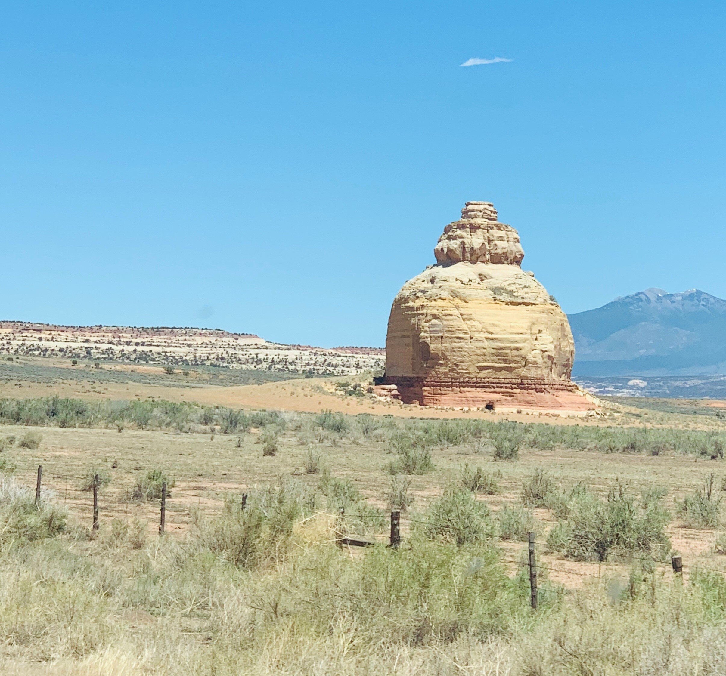
On the way to Moab, UT, we spotted this lone rock near Monticello. As it is named, Church Rock carries rumors of getting its name from a zealous religious woman with a colorful history, who came into the area in the 1930s and wanted the rock made into a church. The legend says the chiseled 16’ x 24’ opening and hollowed out space in the base of the rock (shown here) were the results of her efforts to make it into a place of worship. More factually, a rancher by the name of Claud Young, owned about 2000 acres of this area for a cattle range before the current highway came through. He had the hole dynamited out in the 1940s, to store cattle feed. Although the 200-foot monolith still carries the name Church Rock, it remains privately owned by the children and grandchildren of Claud Young and has nothing to do with a church.
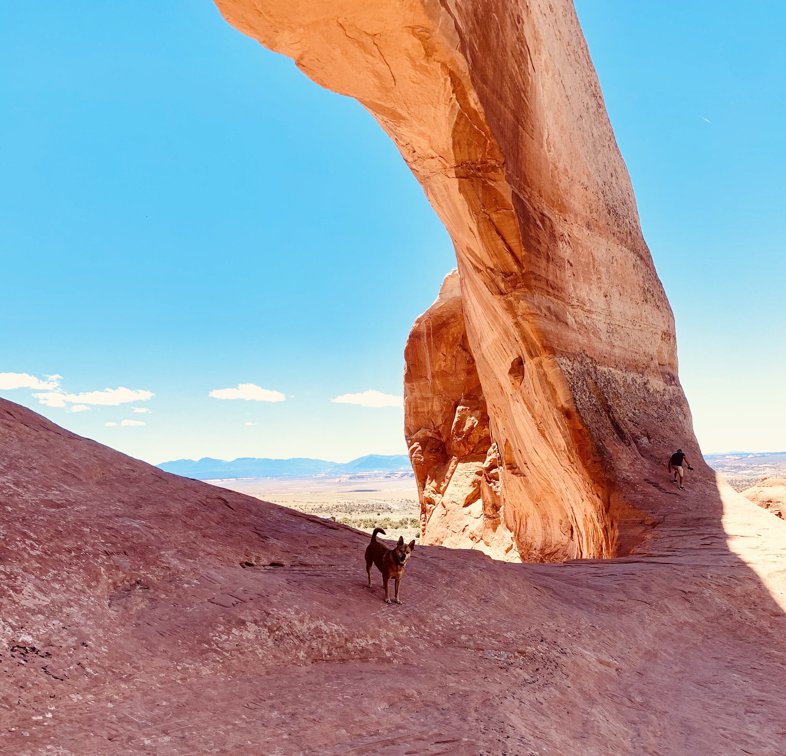
We spotted this large arch on the side of the road in La Sal, UT. We hopped out and climbed it for a little exercise on our journey. The pictures hardly give justice to how large this arch is.
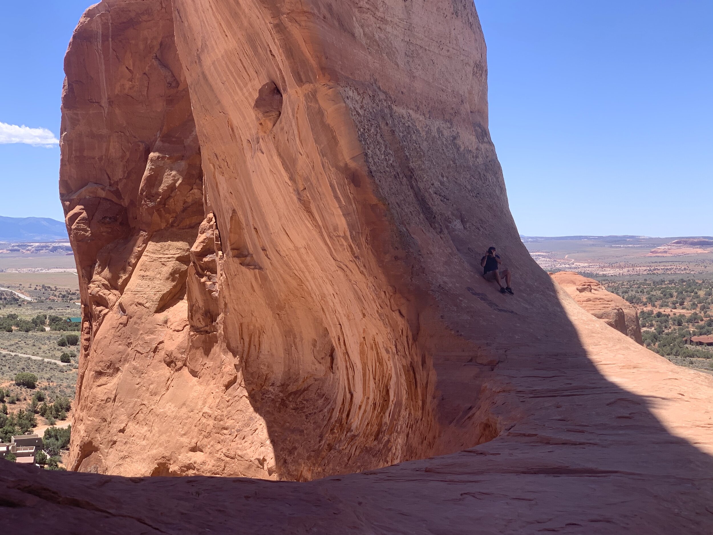
Craig getting in position to take pictures. He is in the shadow on the right.
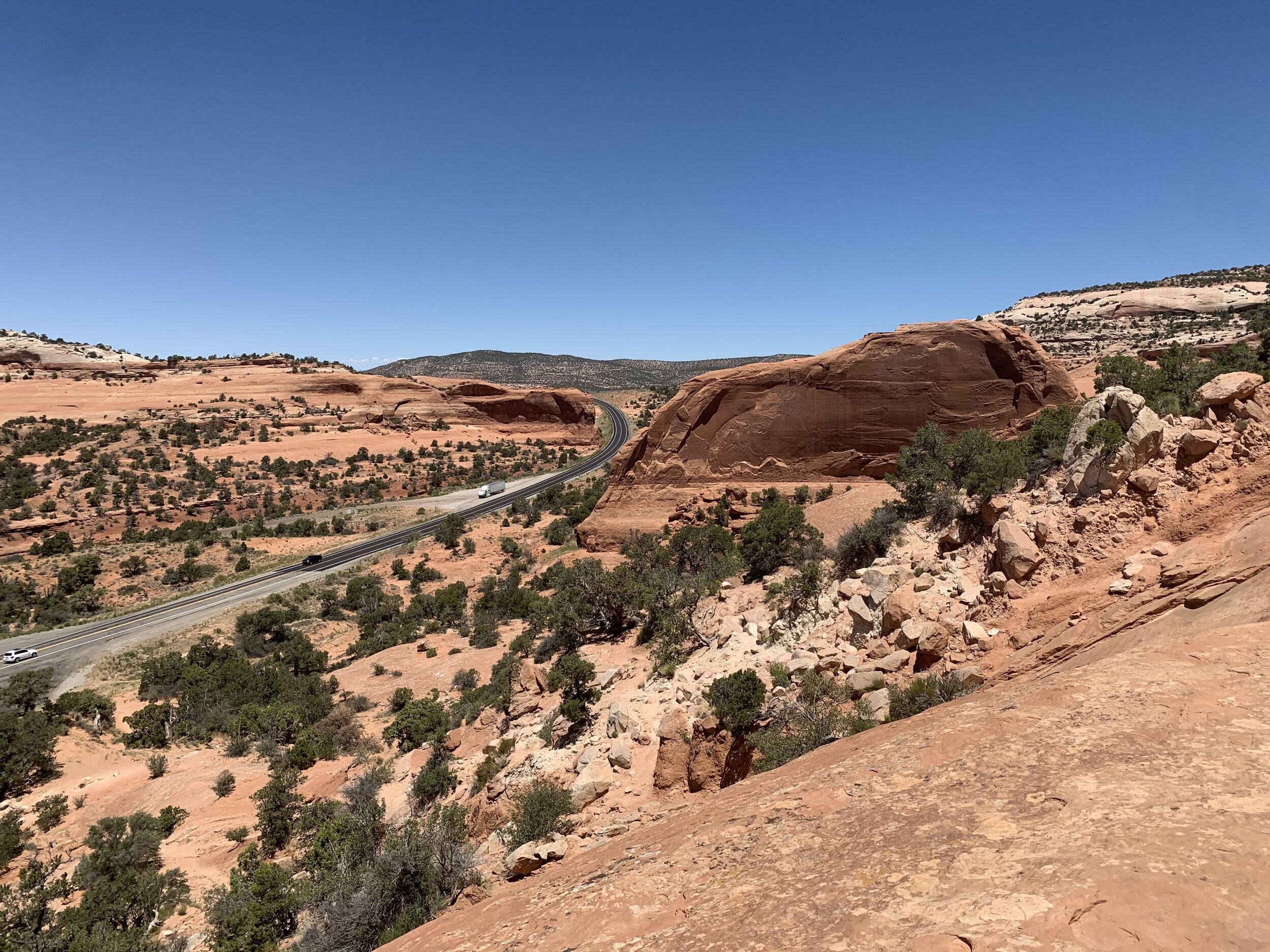
The desert road at the La Sal arch.
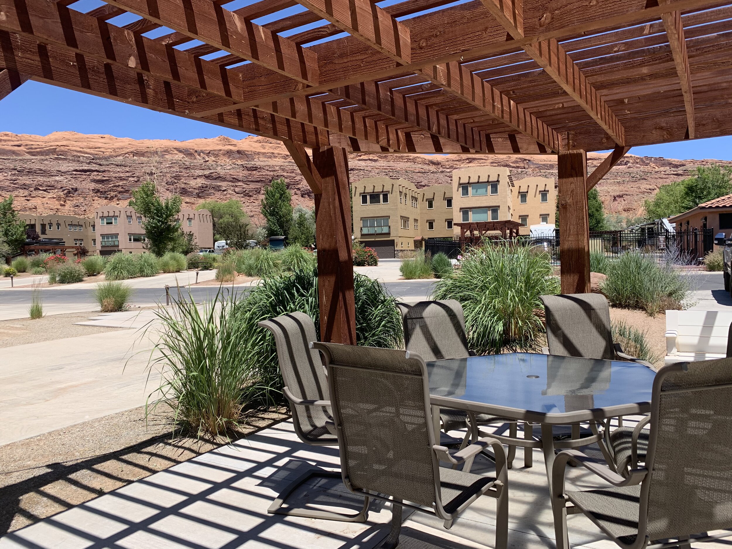
We enjoyed our RV spot at Portal RV Resort in Moab. This is our private deck area and campsite right beside the swimming pool. 😀
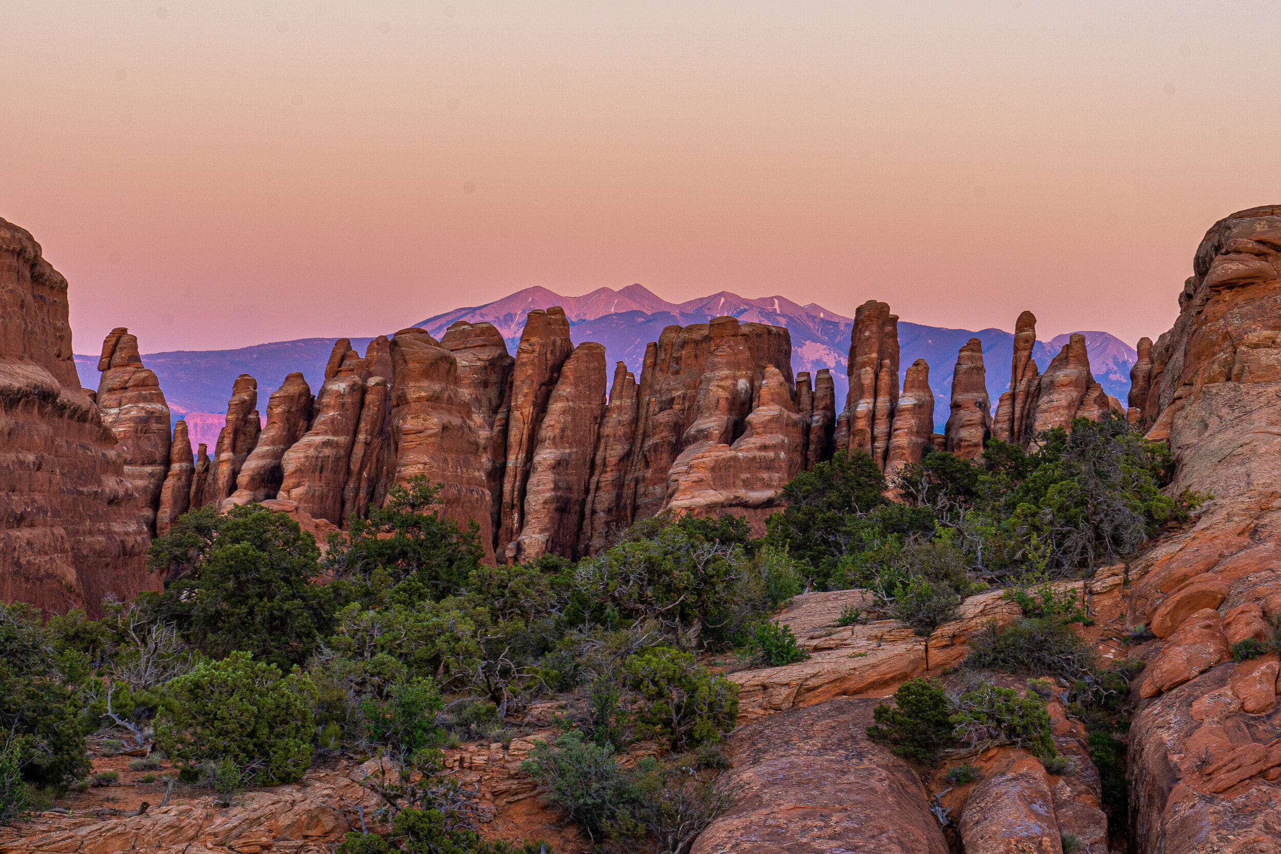
A photo Craig took at Arches National Park the day we arrived in Moab.
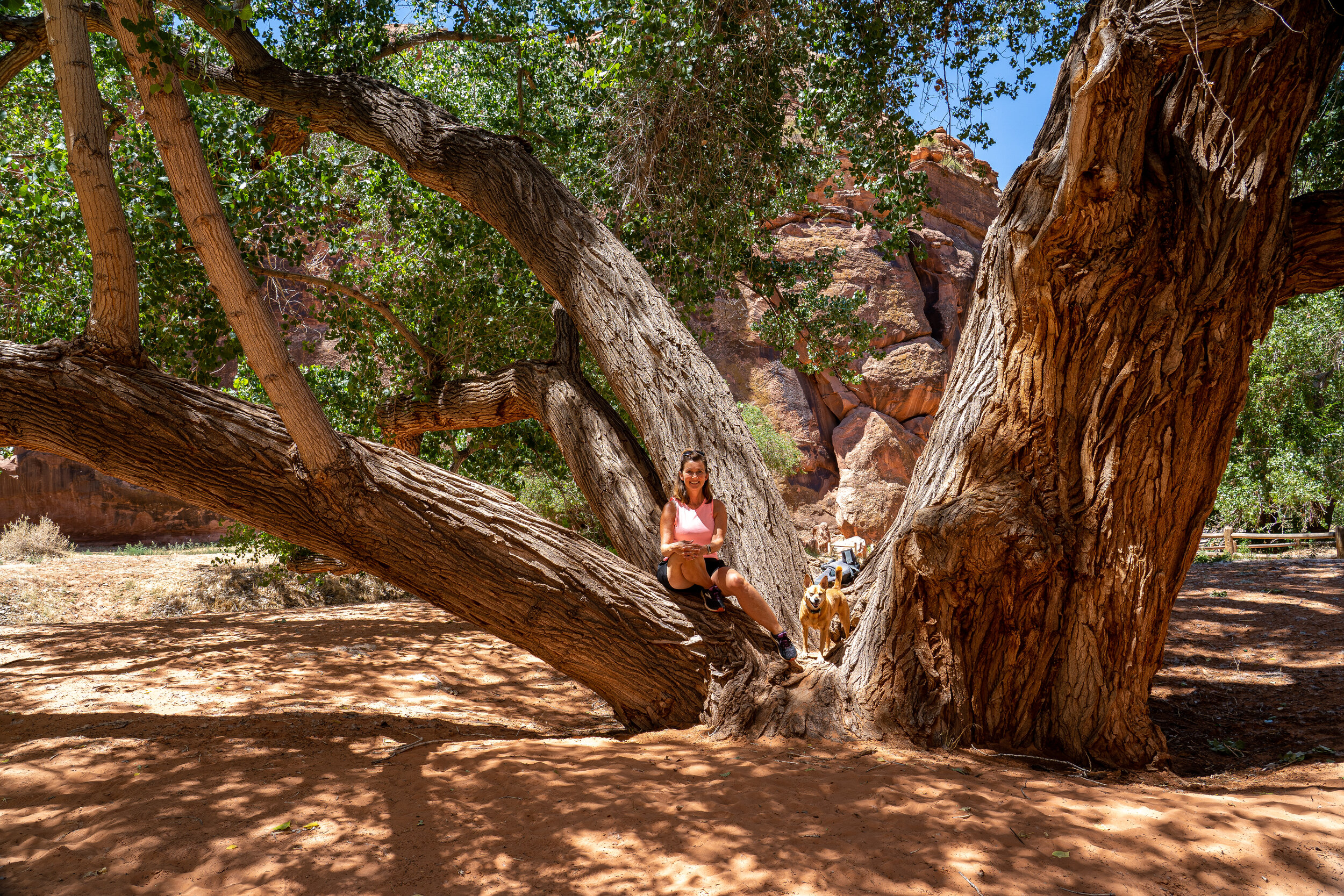
There are endless places to explore in Moab.
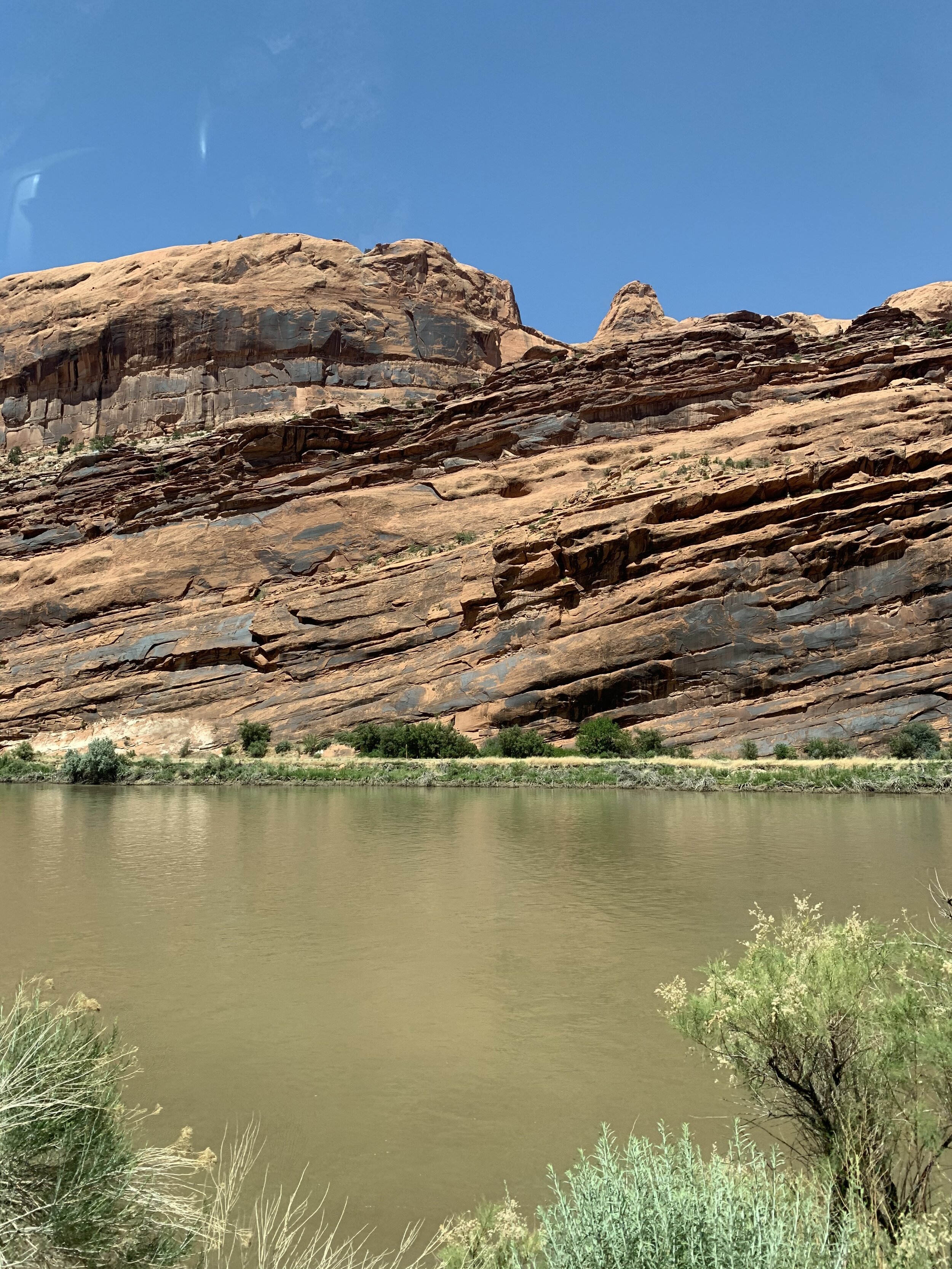
There’s a story on why this rock appears to be falling into the water; it has to do with the ground shifting over millions of years, but that’s all we remember. 😬
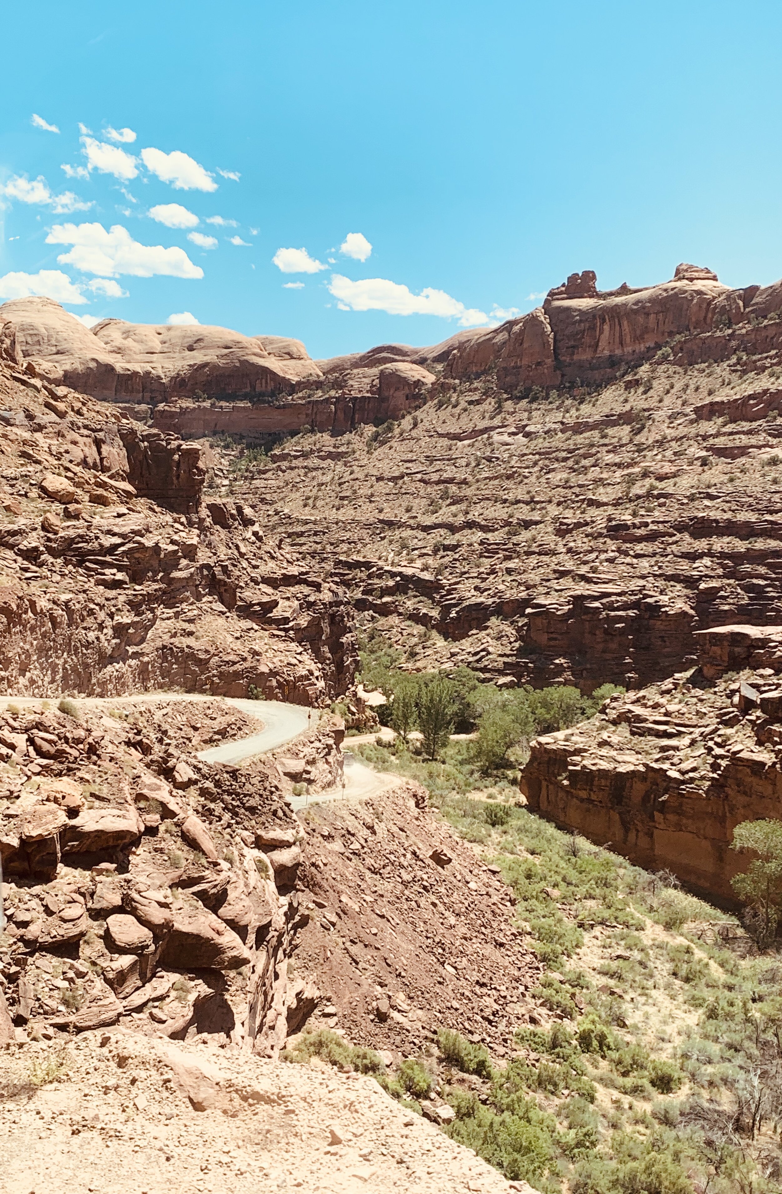
Our quest to reach Hurrah Pass in Moab was not an easy one.
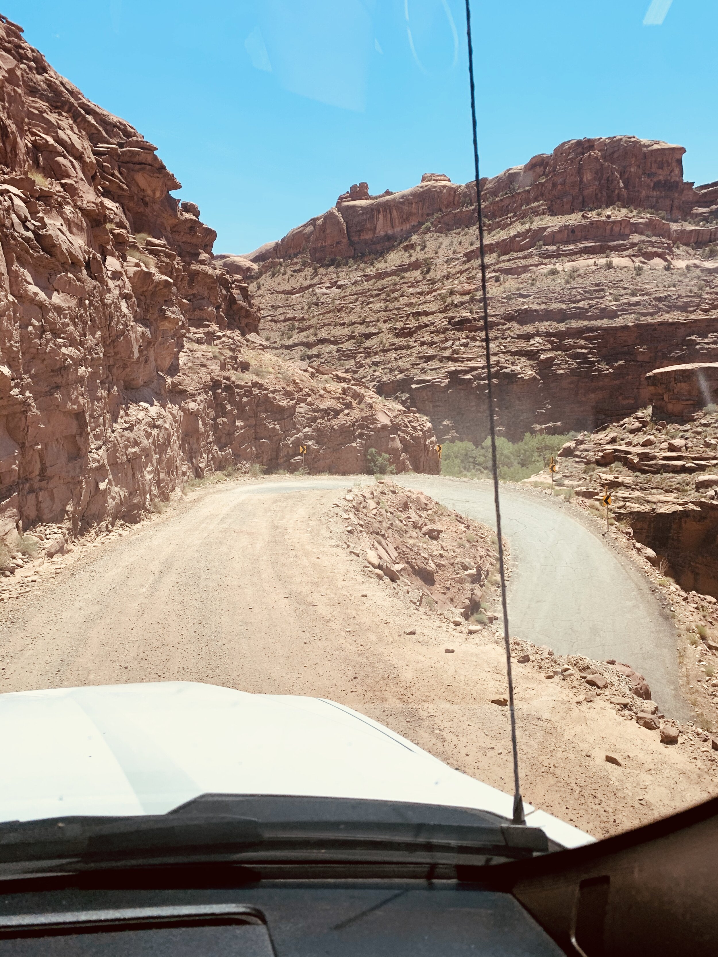
The roads were treacherous and many had steep drop-offs, but Craig enjoyed the challenge. 🤪
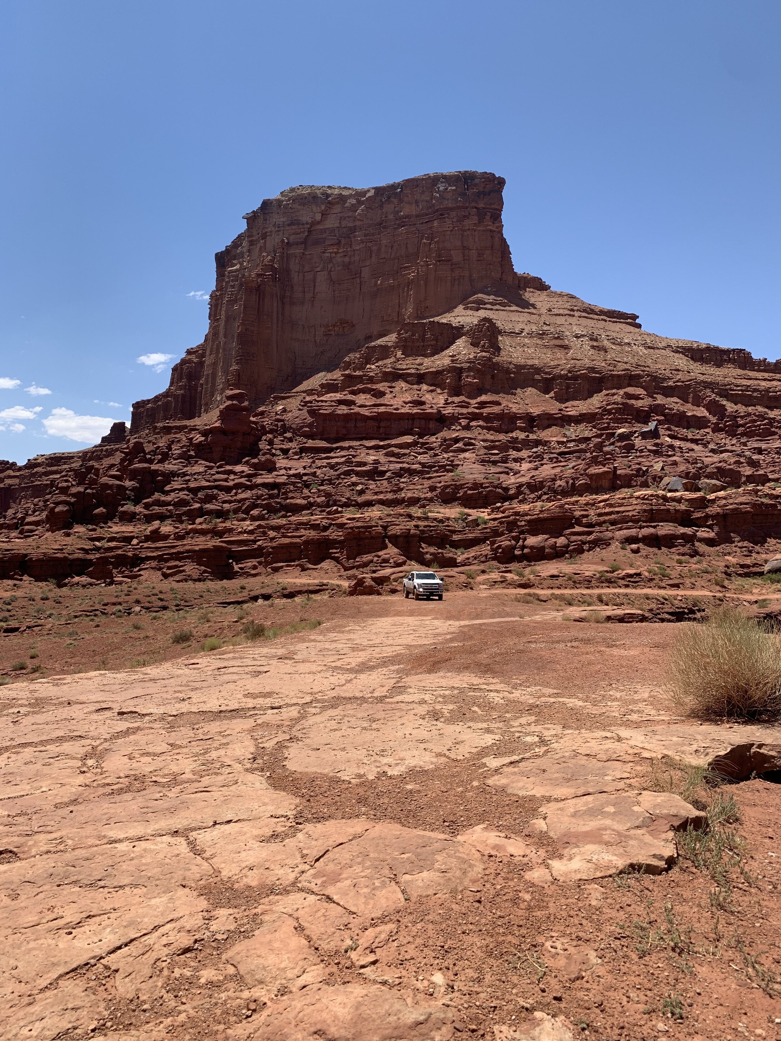
At the appropriately named area, we stopped at Chicken Corner Trail to give our nerves and the truck a small break.
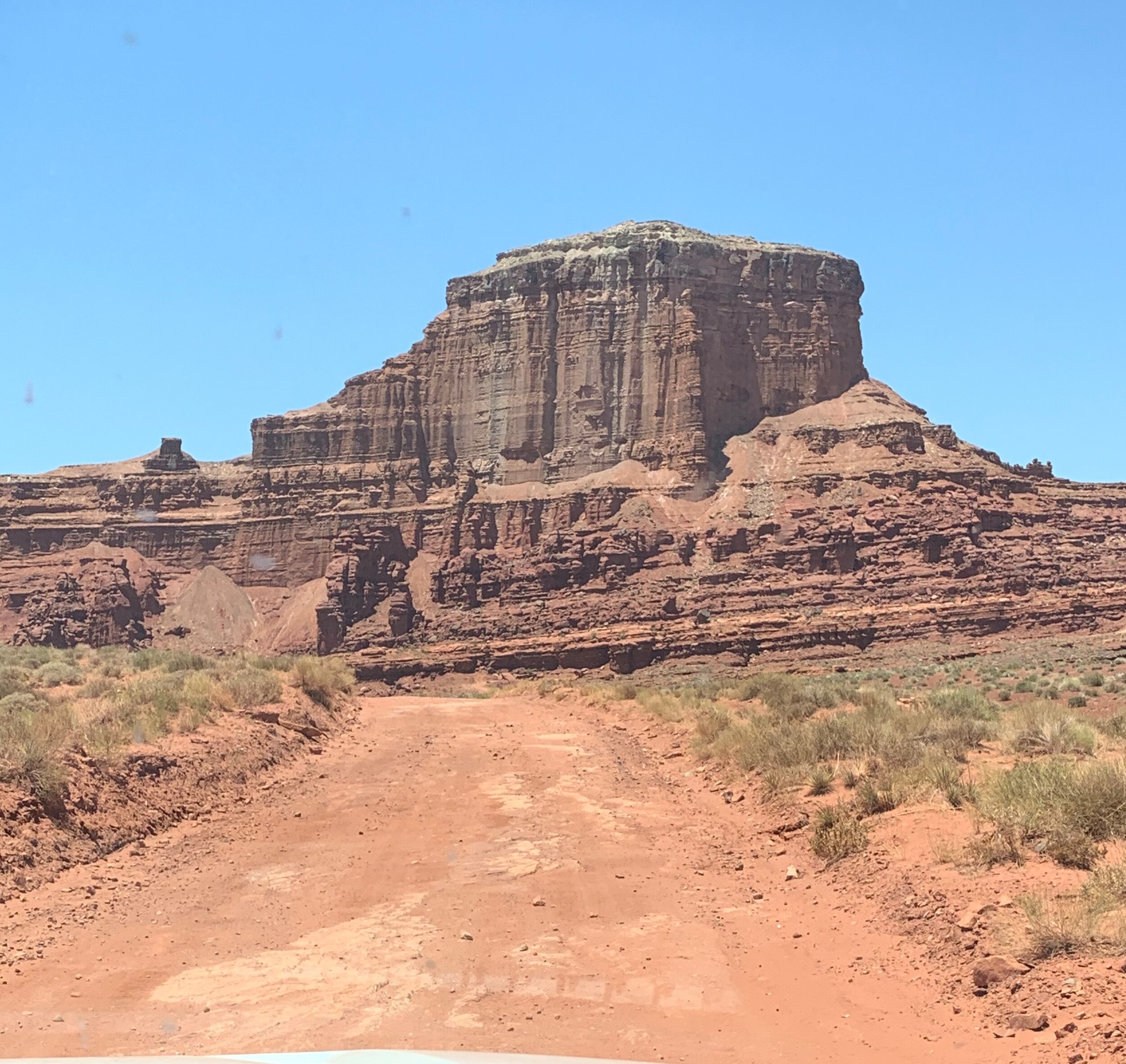
Still on the way.
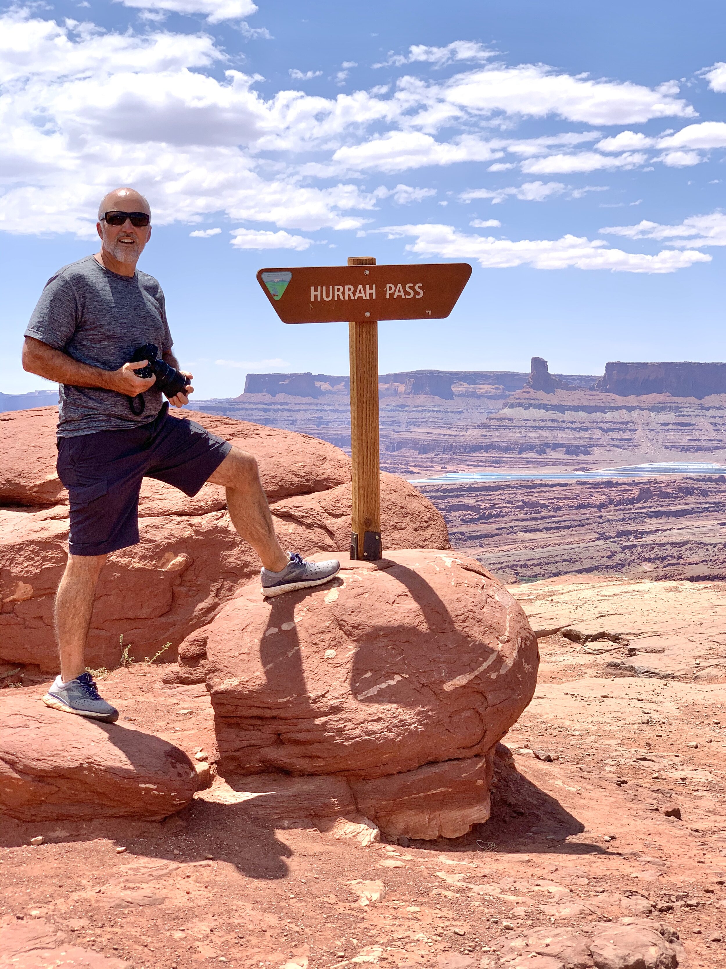
We made it! The treacherous drive causes me to have mixed feelings about thanking our friend, Matt Miller, for recommending this as a "Must See” spot, but the overlook is truly beautiful!
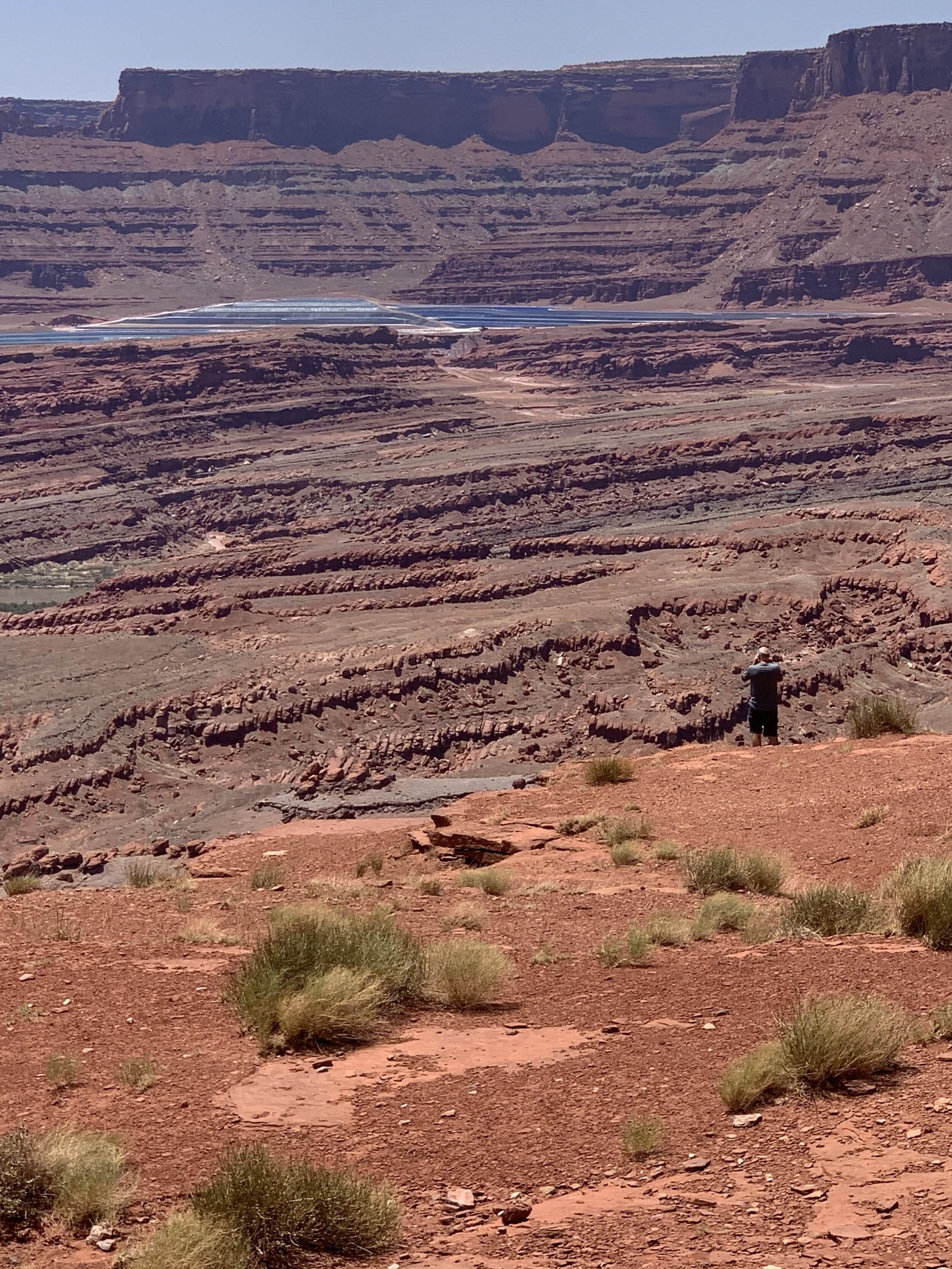
The view from Hurrah Pass.
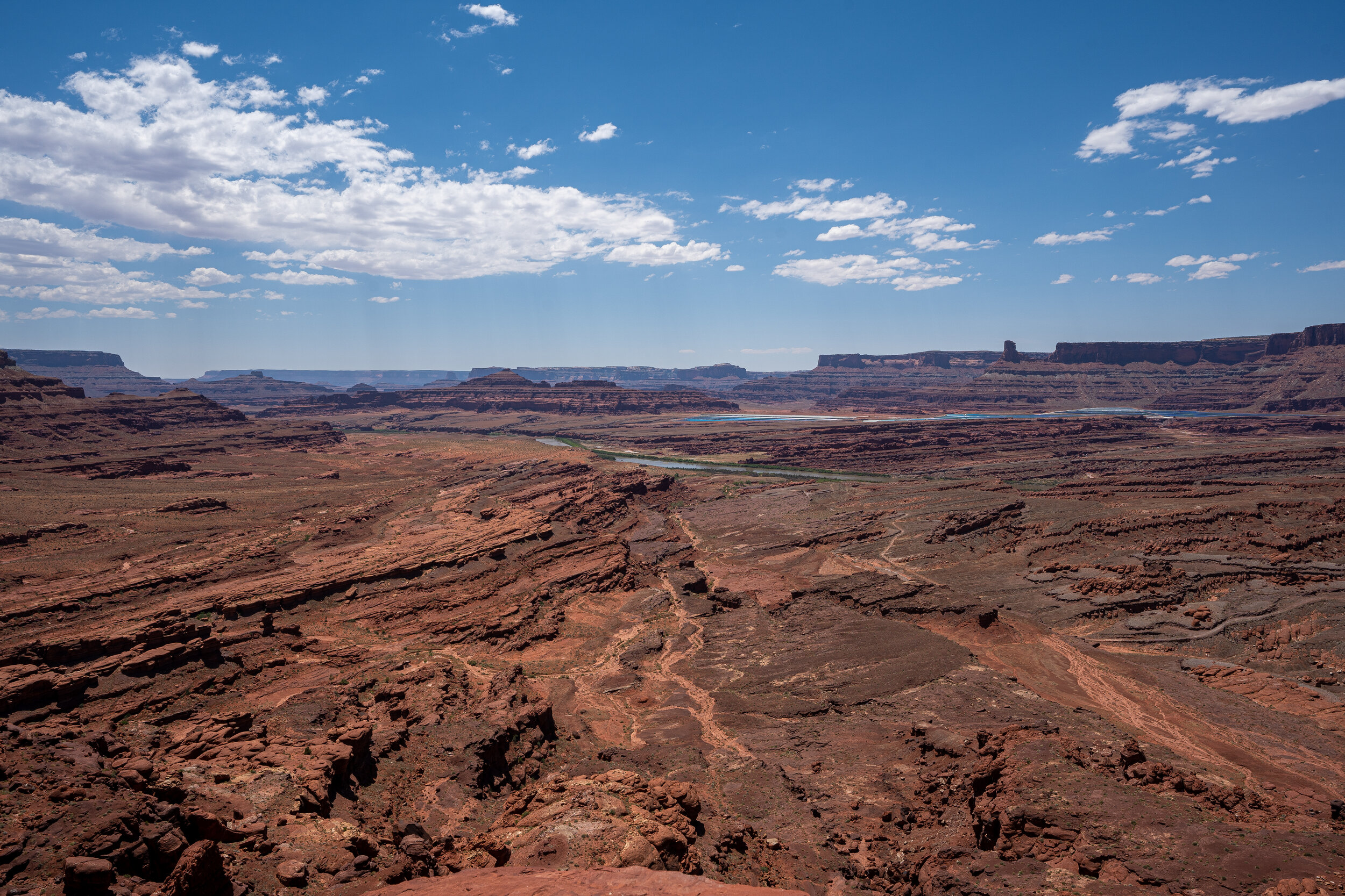
Another picture of the Hurrah Pass overlook.
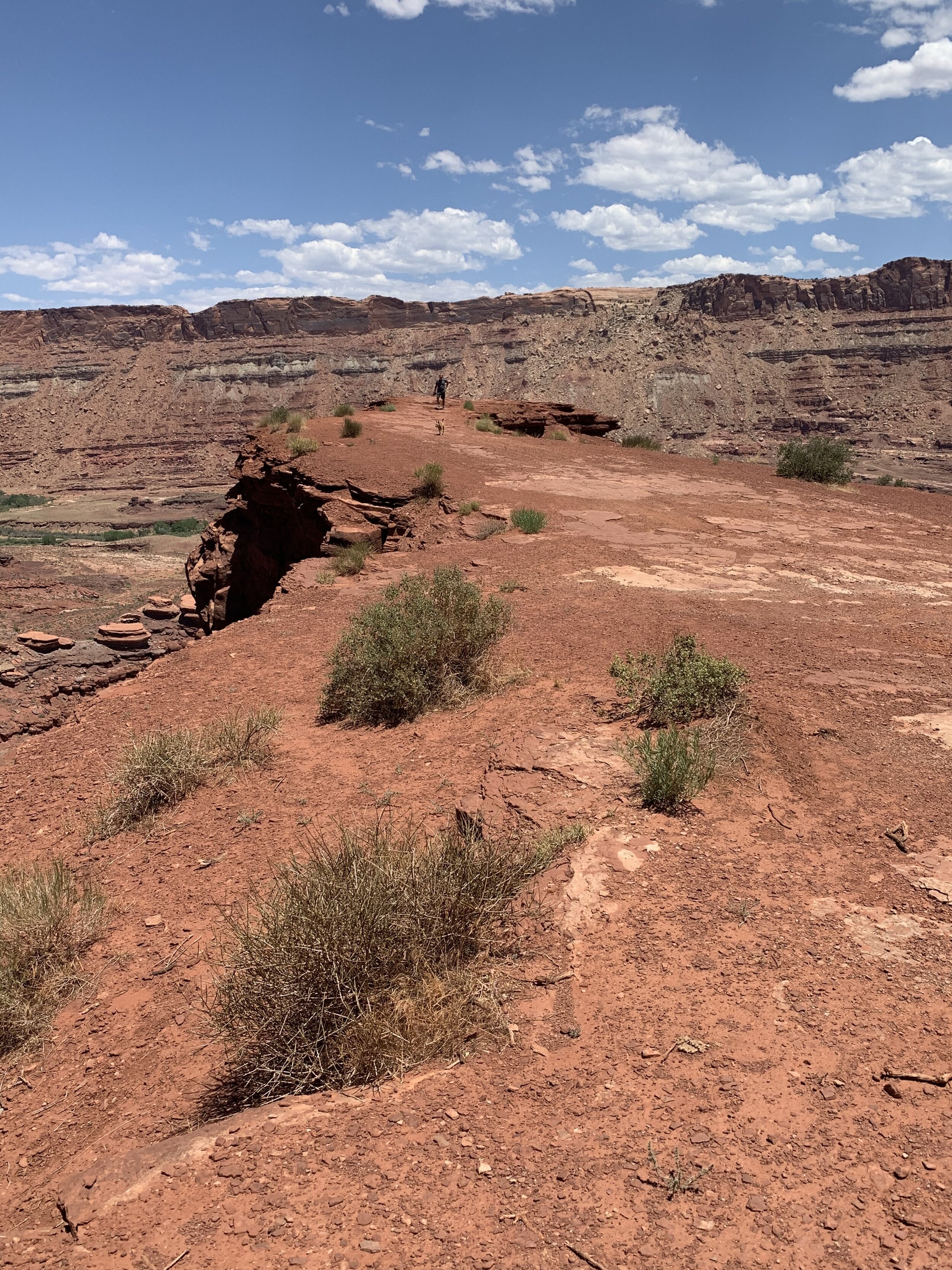
At an elevation of nearly 5,000 feet, we had certainly made a climb. Craig and Clay out exploring the area.
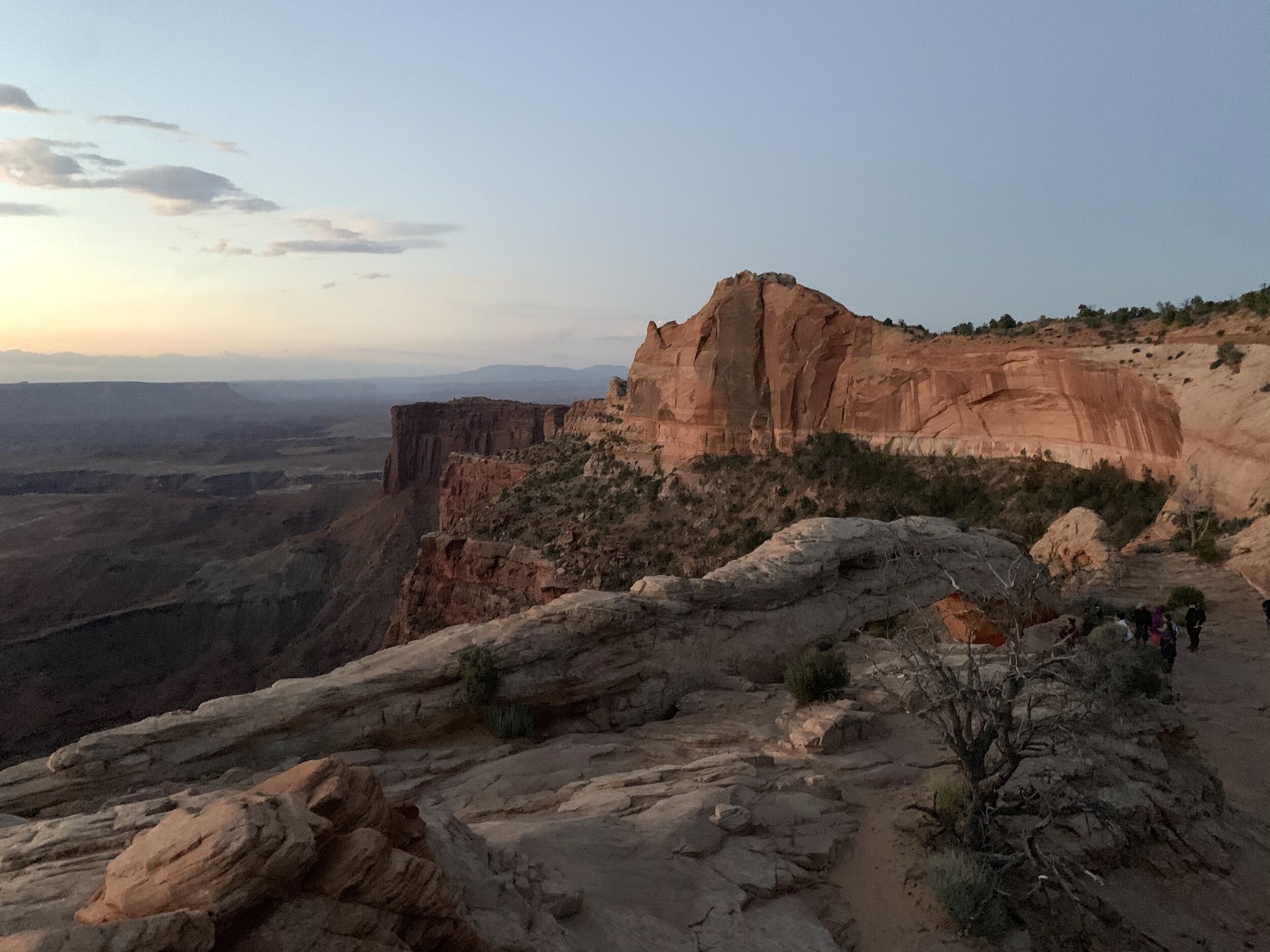
Canyonlands National Park in southern Utah is known for its desert landscape carved out by the Colorado River over millions of years.
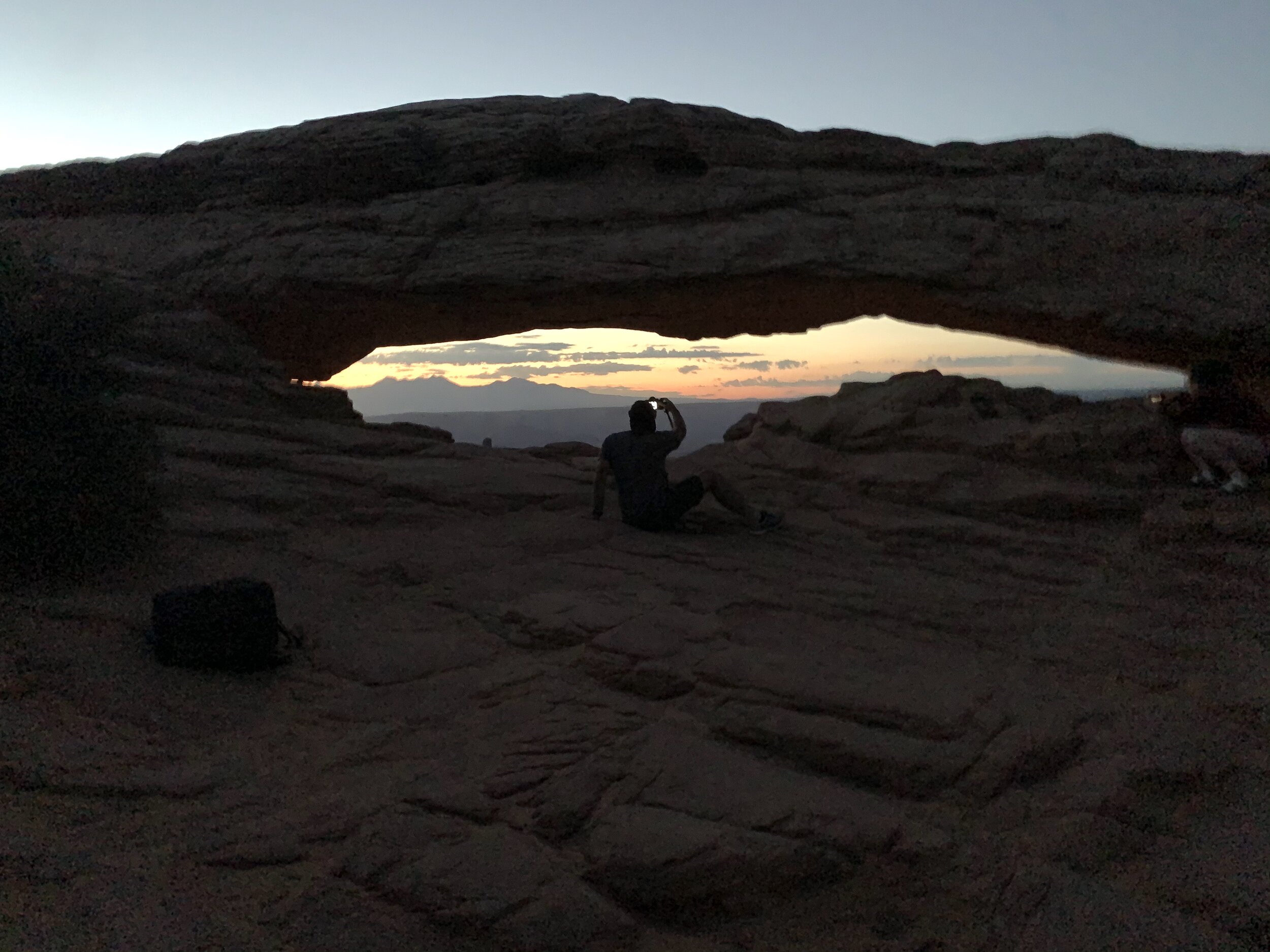
This morning we set out at 4 am for sunrise pictures of Mesa Arch in Canyonlands. Craig was there in plenty of time to set up his camera. Clay and I tried to sleep beside a rock as we waited.😴
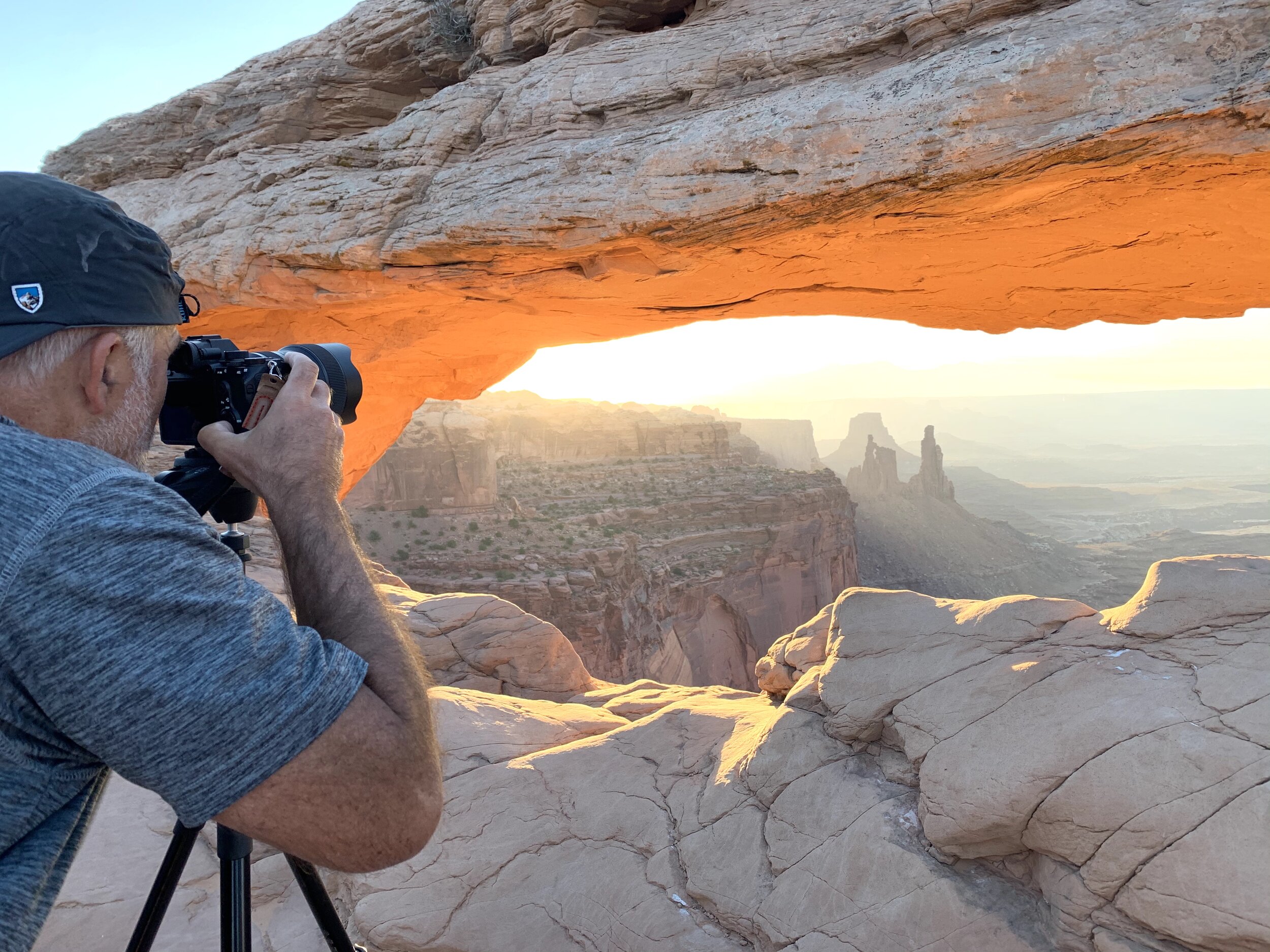
The cover photo for this blog is one of his photos from this morning at Canyonlands.
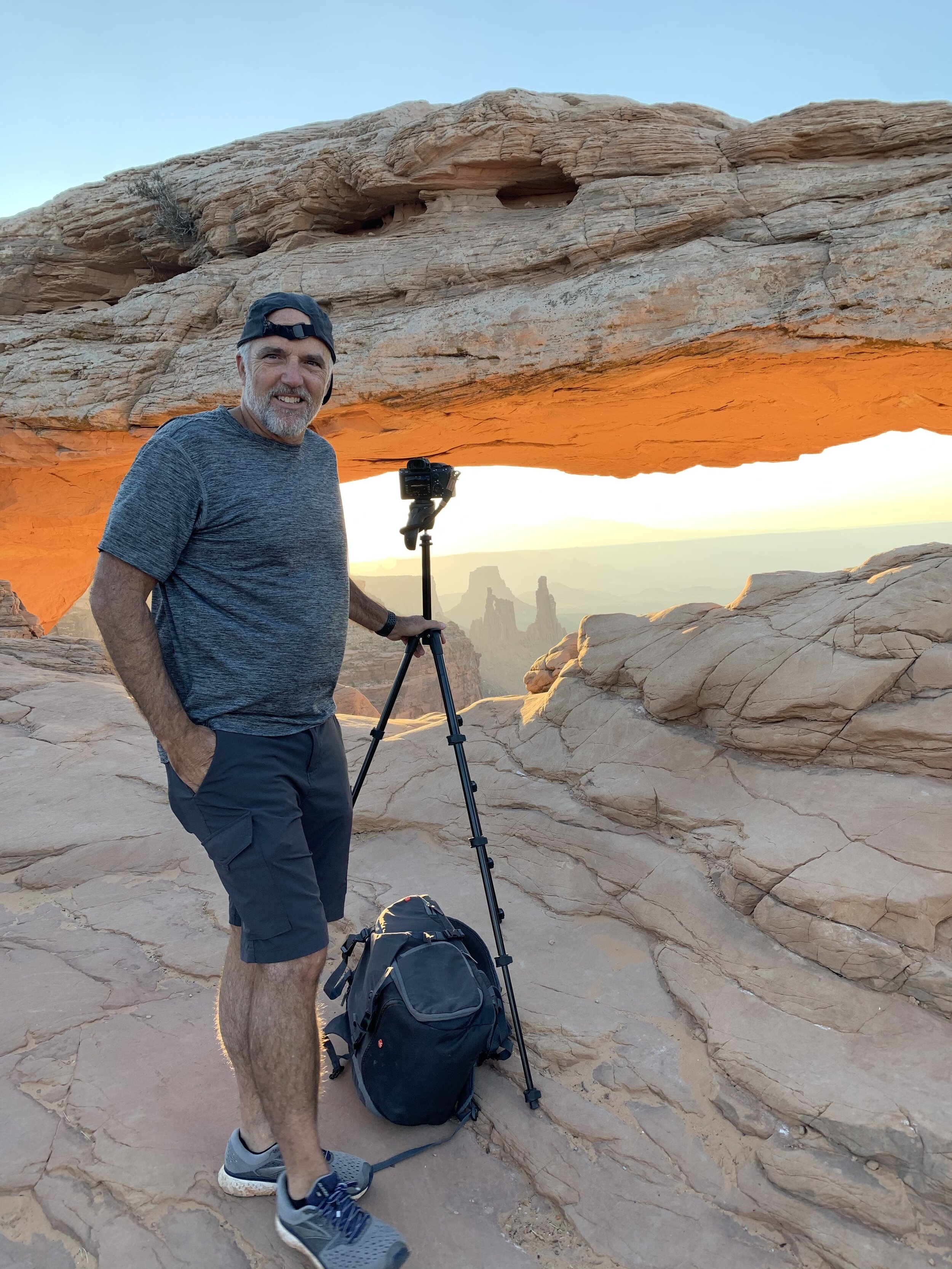
Before 6 am Craig had already declared the day a success!
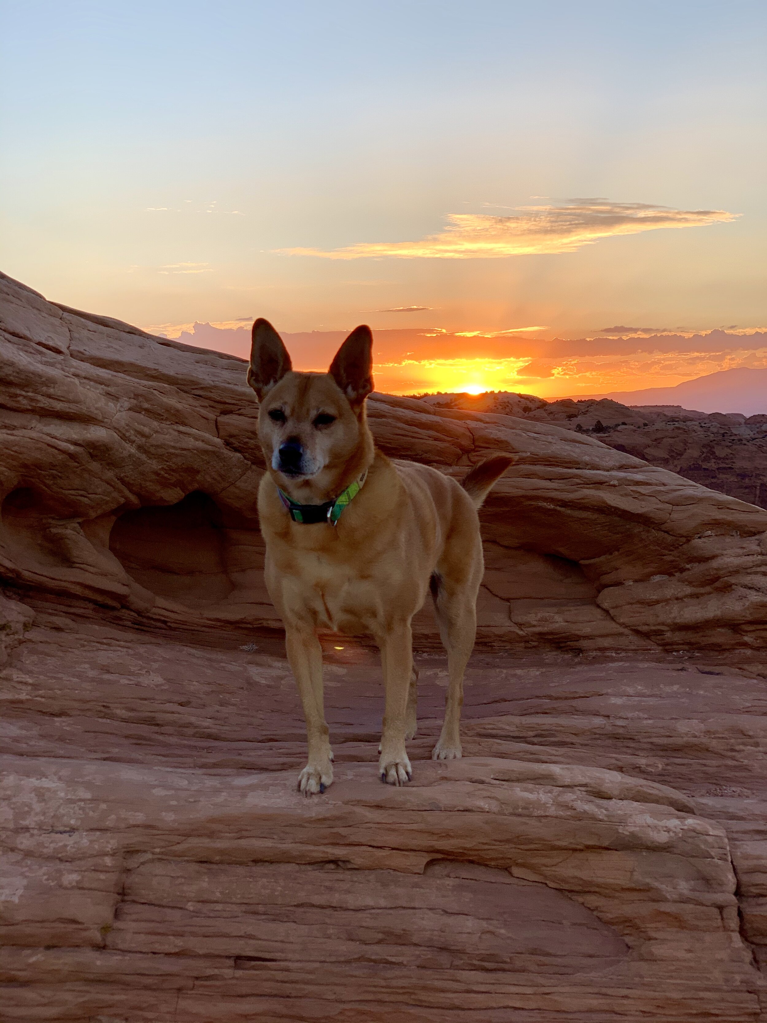
As the sun rose, I explored the area and took more pictures of Clay.
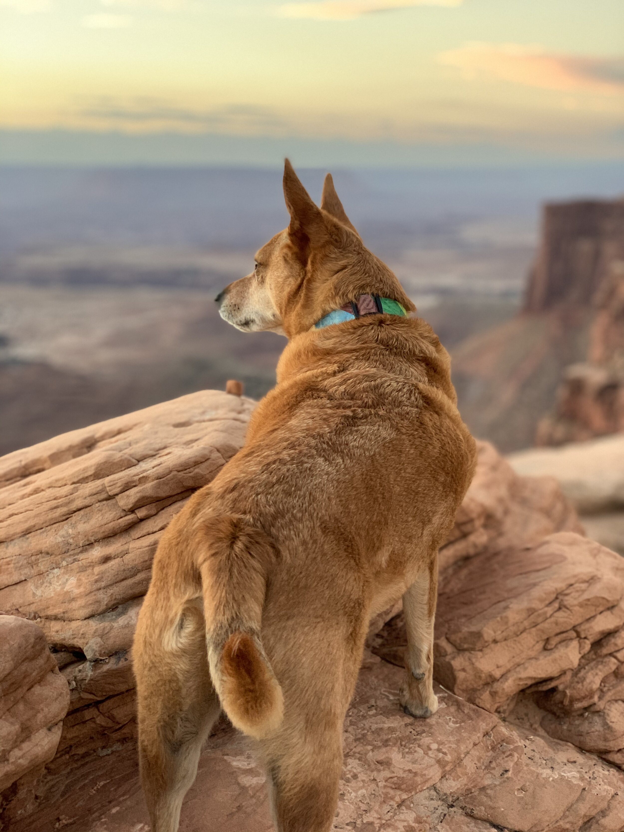
Another picture of Clay enjoying the adventure.
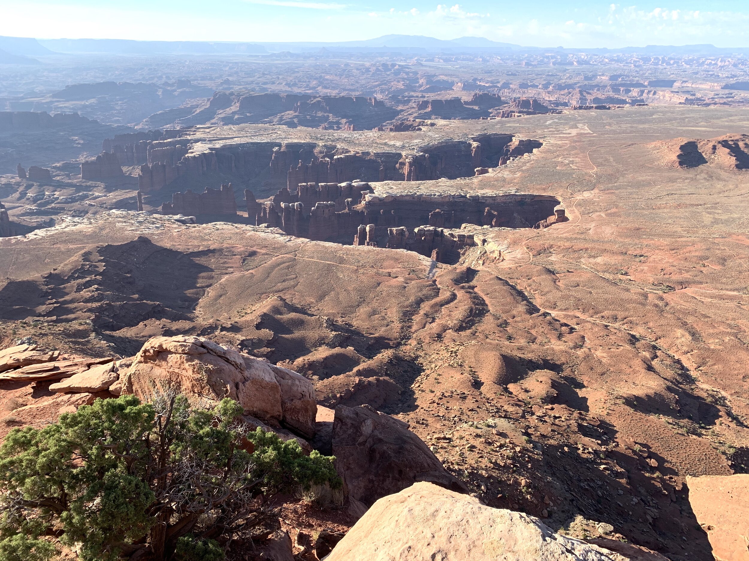
Monument Basin in Canyonlands National Park
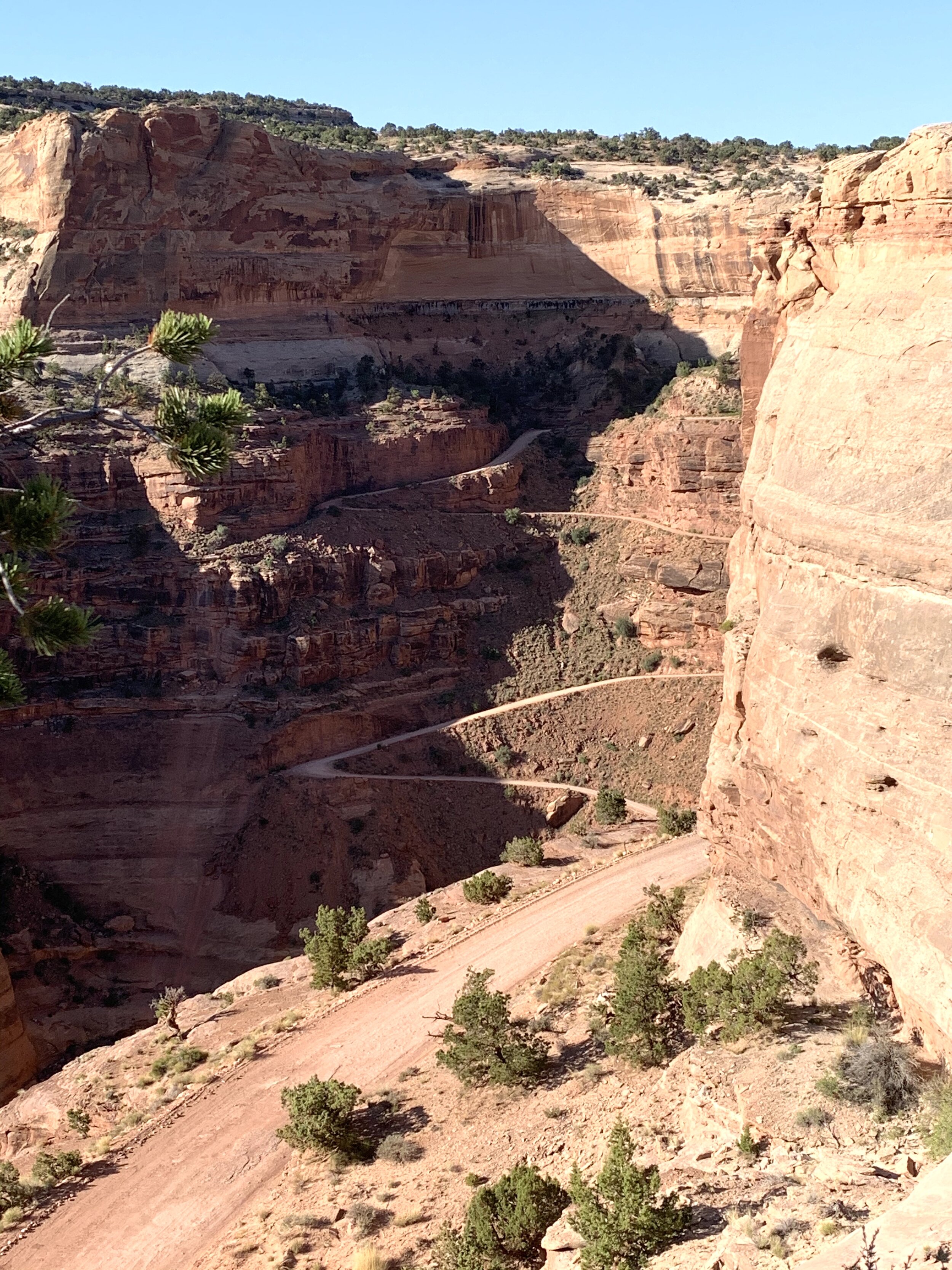
It seems part of Life Elevated in Utah always involves being elevated AND having a big dropoff over to the side of the road. 😨
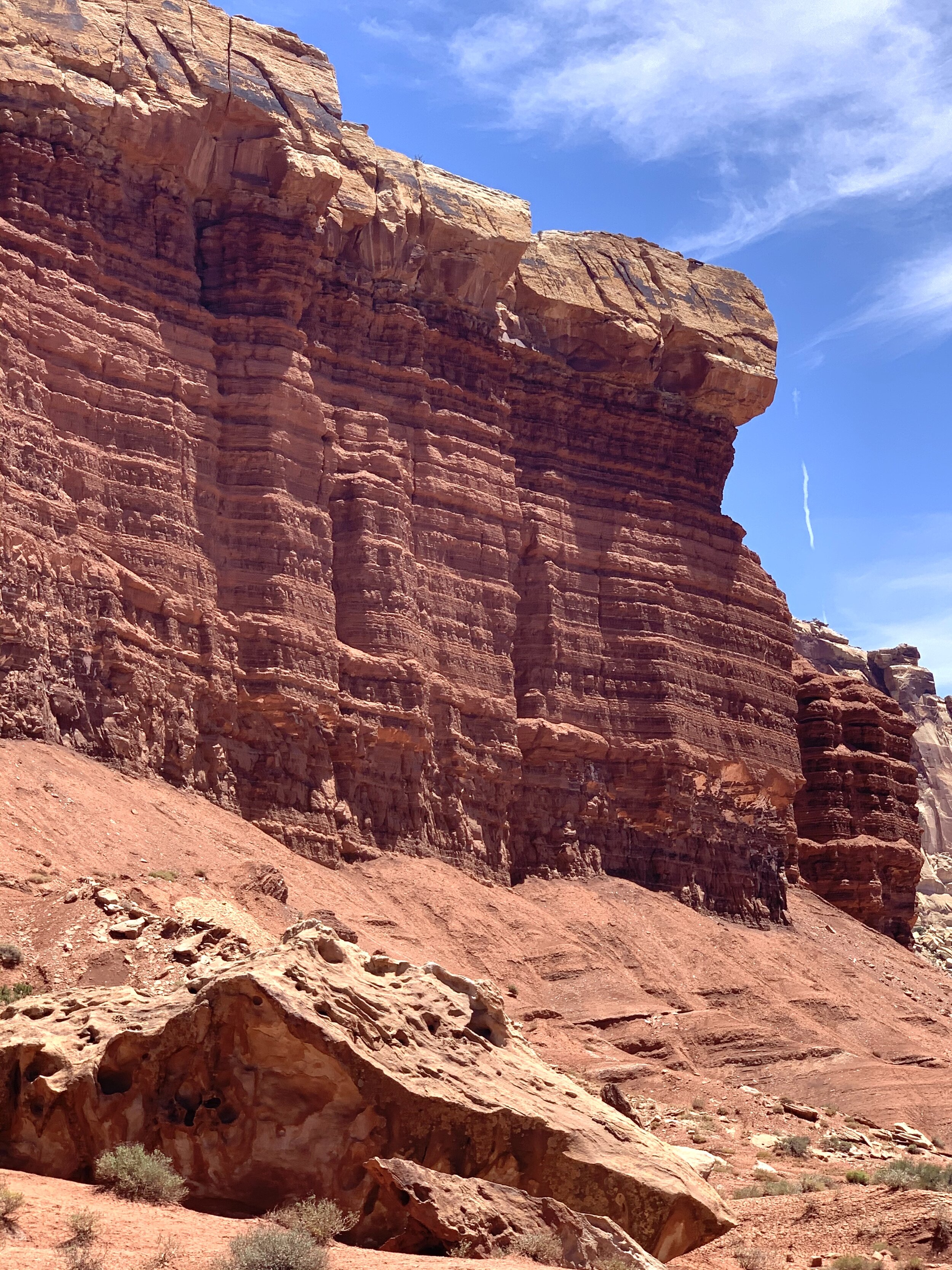
Capitol Reef National Park is about 140 west of Canyonlands and surrounds a long wrinkle in the earth known as the Waterpocket Fold. This area is filled with layers of golden sandstone, canyons, and beautiful rock formations.
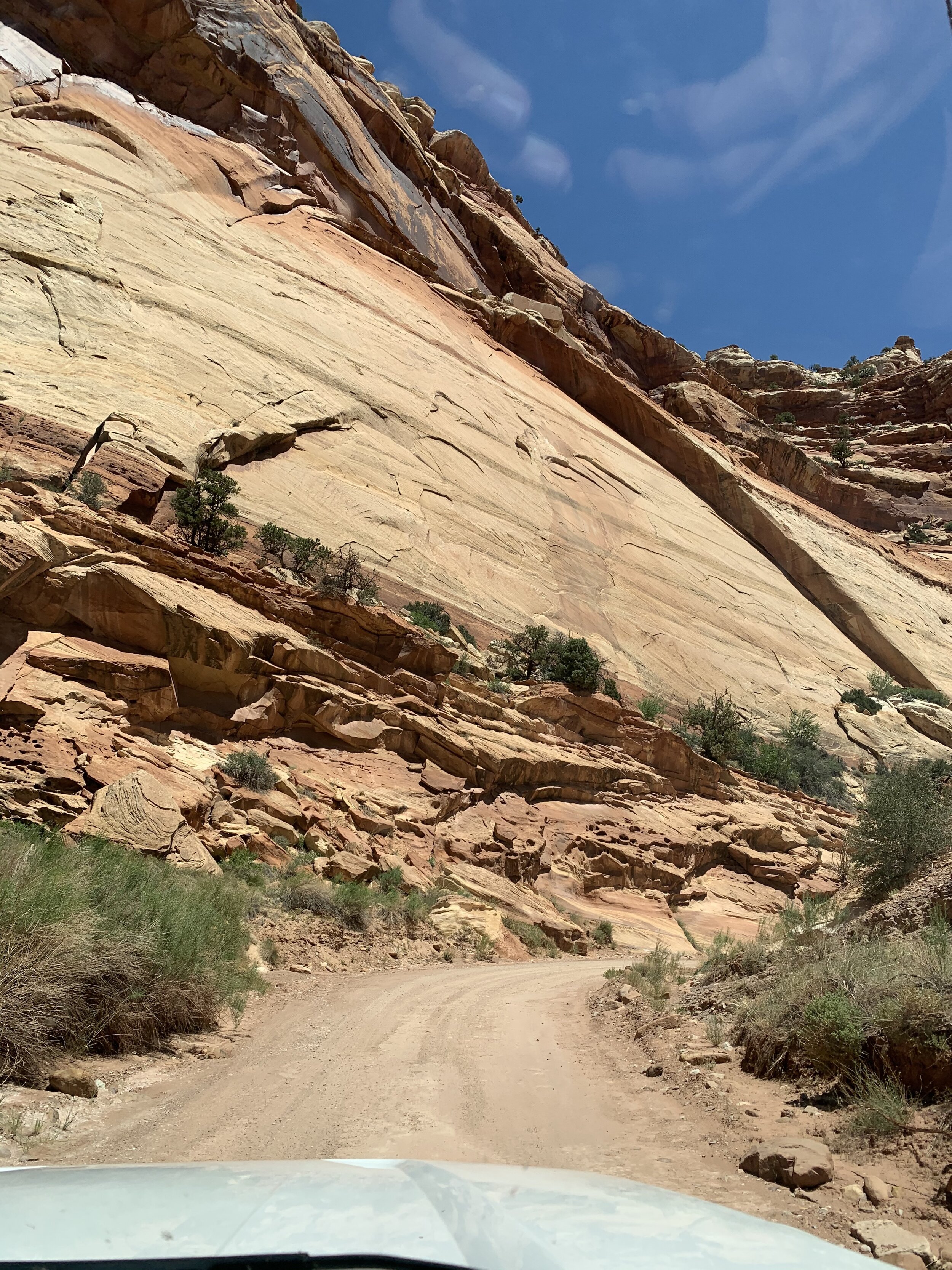
Partially in Wayne County, this area was formally known as Wayne Wonderland. When the area was to become a national monument and park in 1937, officials believed the area to be beautiful but thought Wonderland might be an overstatement. In 1937 the area was renamed and became Capitol Reef National Park.
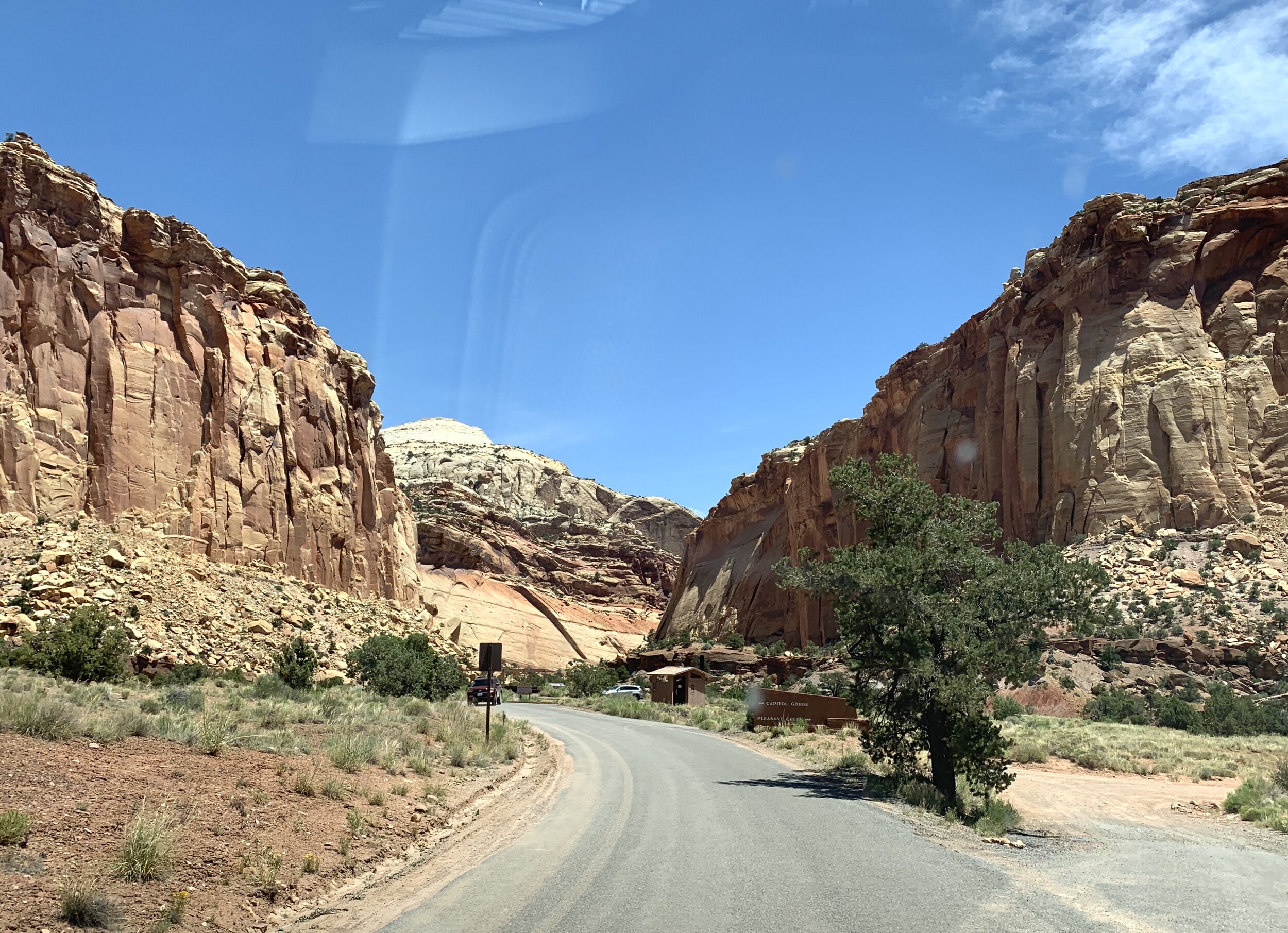
Capitol Reef is named after both the Capitol Building and the Waterpocket Fold. “Capitol” refers to white features that resemble the capitol building in Washington, while “reef” refers to the rocky Waterpocket Fold.
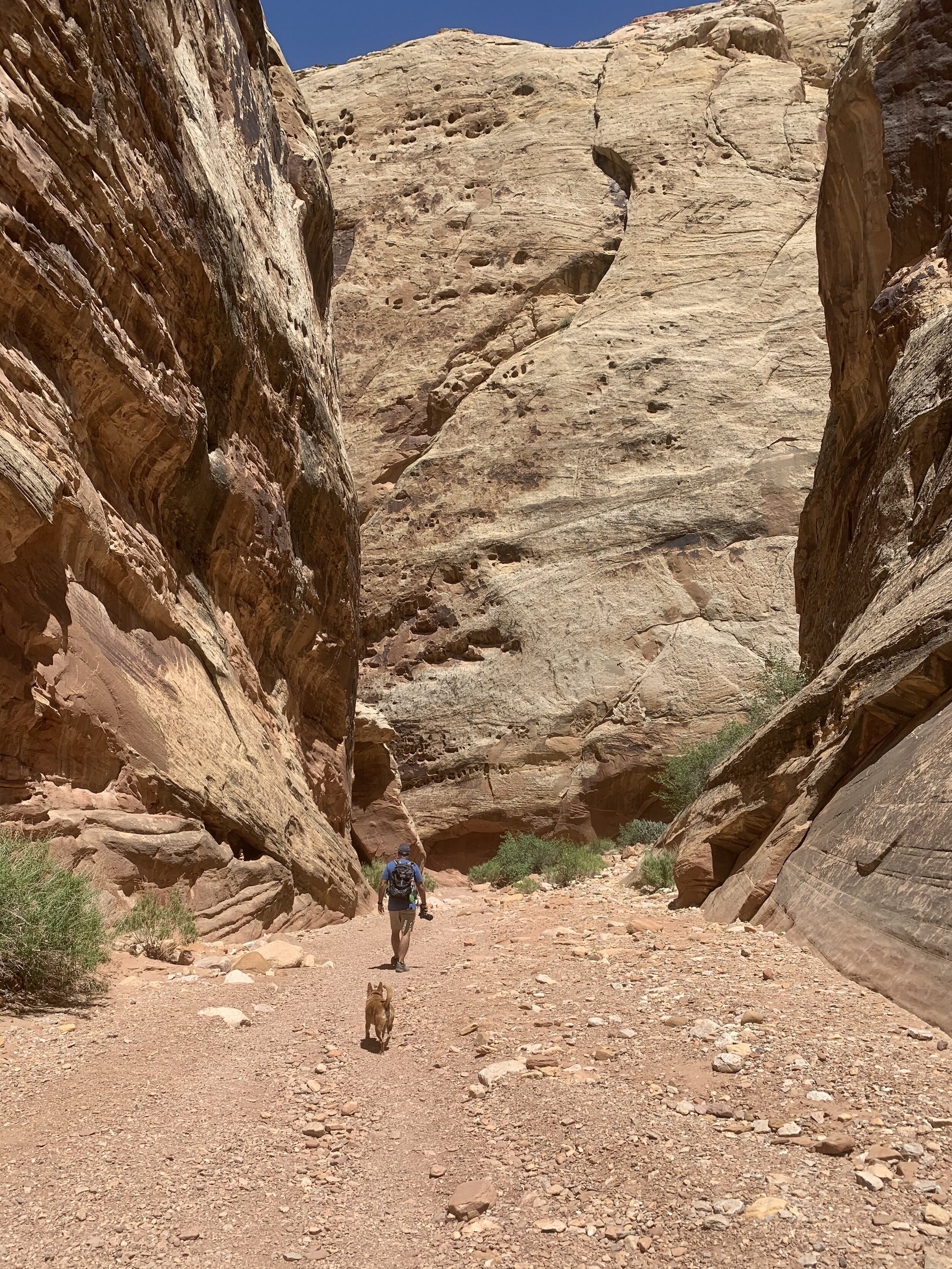
The cliff formations, buttes, and canyons seen within the park are largely part of a warp in Earth’s crust, dating to about 65 million years ago. This “spine” in the landscape that we are walking through is about 75 miles long.
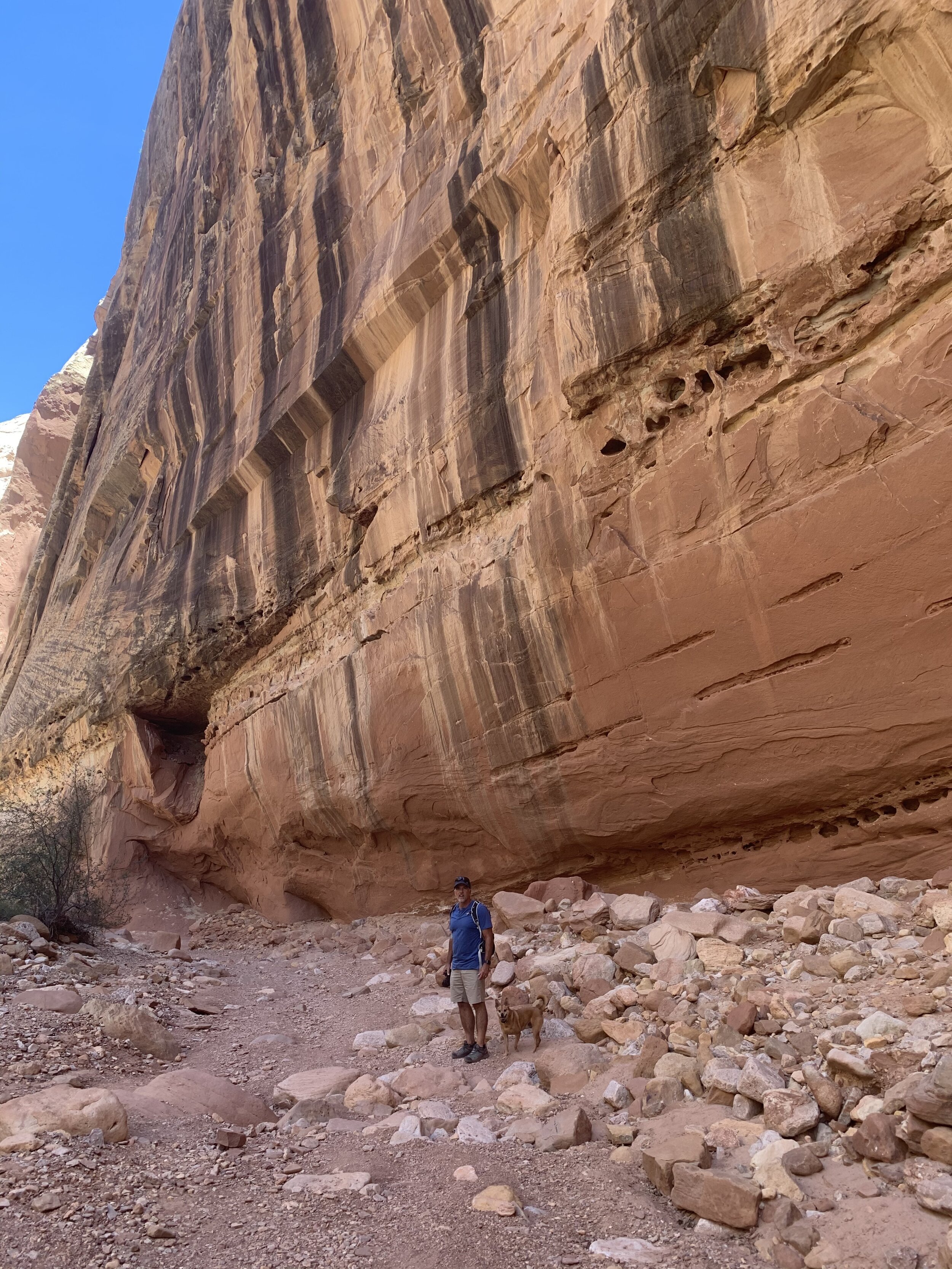
The day we walked here, it was very hot and dry. We didn’t walk the full 75 miles, but it felt like we did.
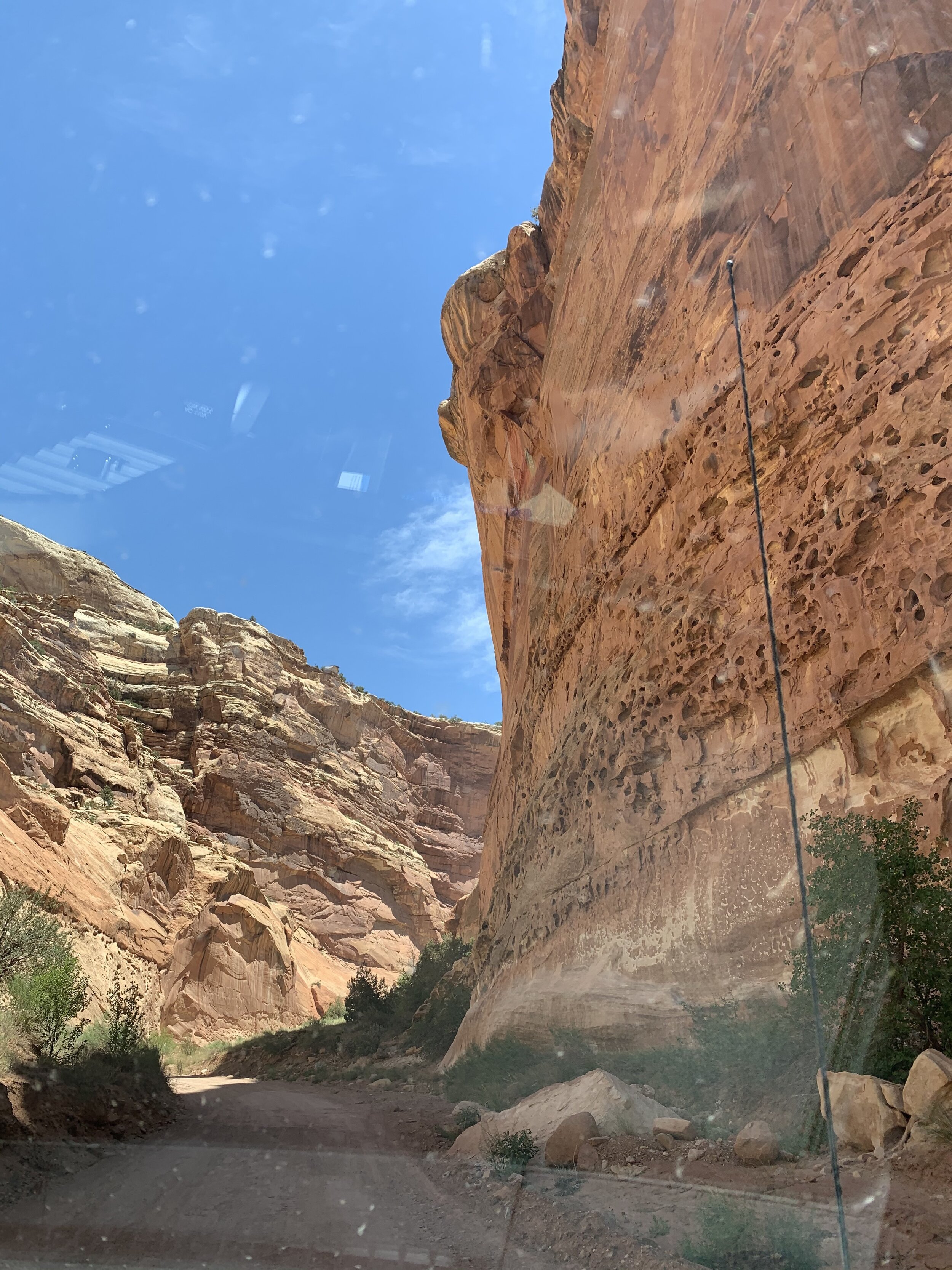
Capitol Reef is known to have monsoons. There are warning signs everywhere not to enter these areas if there is a threat of rain. The abundant rocks cause the water not to be easily absorbed into the ground, and the force of the water can knock the sandstone structures loose at times.
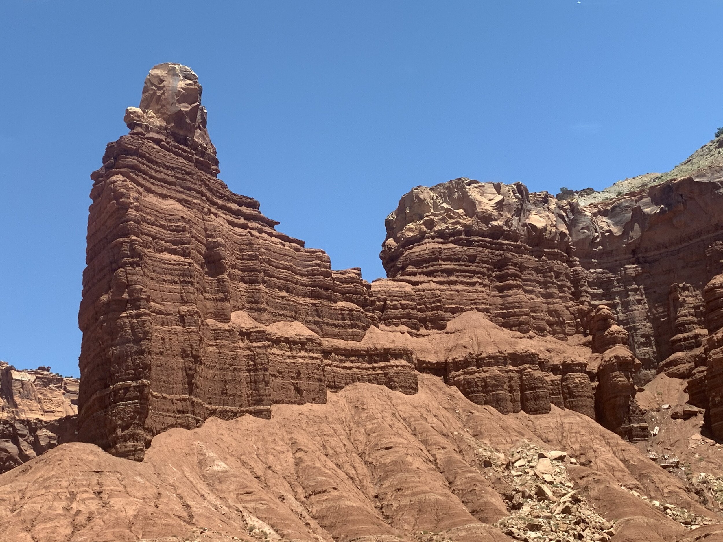
The sandstone is relatively soft, so when the rains do come, little by little, it washes the sandstone to the base of the structures. The sandstone at the base of Chimney Rock, is the result of rain over the course of millions of years.
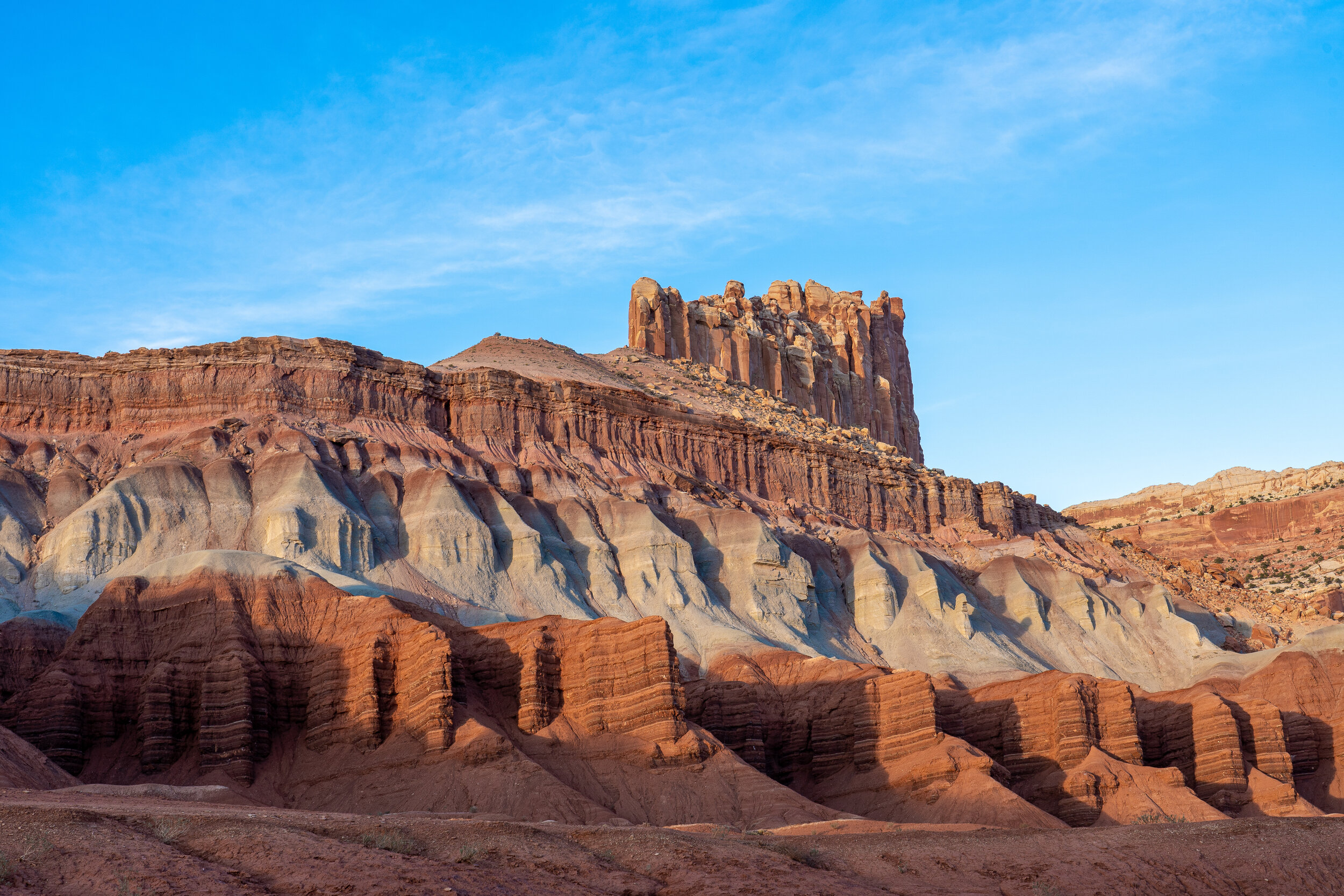
Craig took this beautiful picture of Castle Rock in Capitol Reef NP.
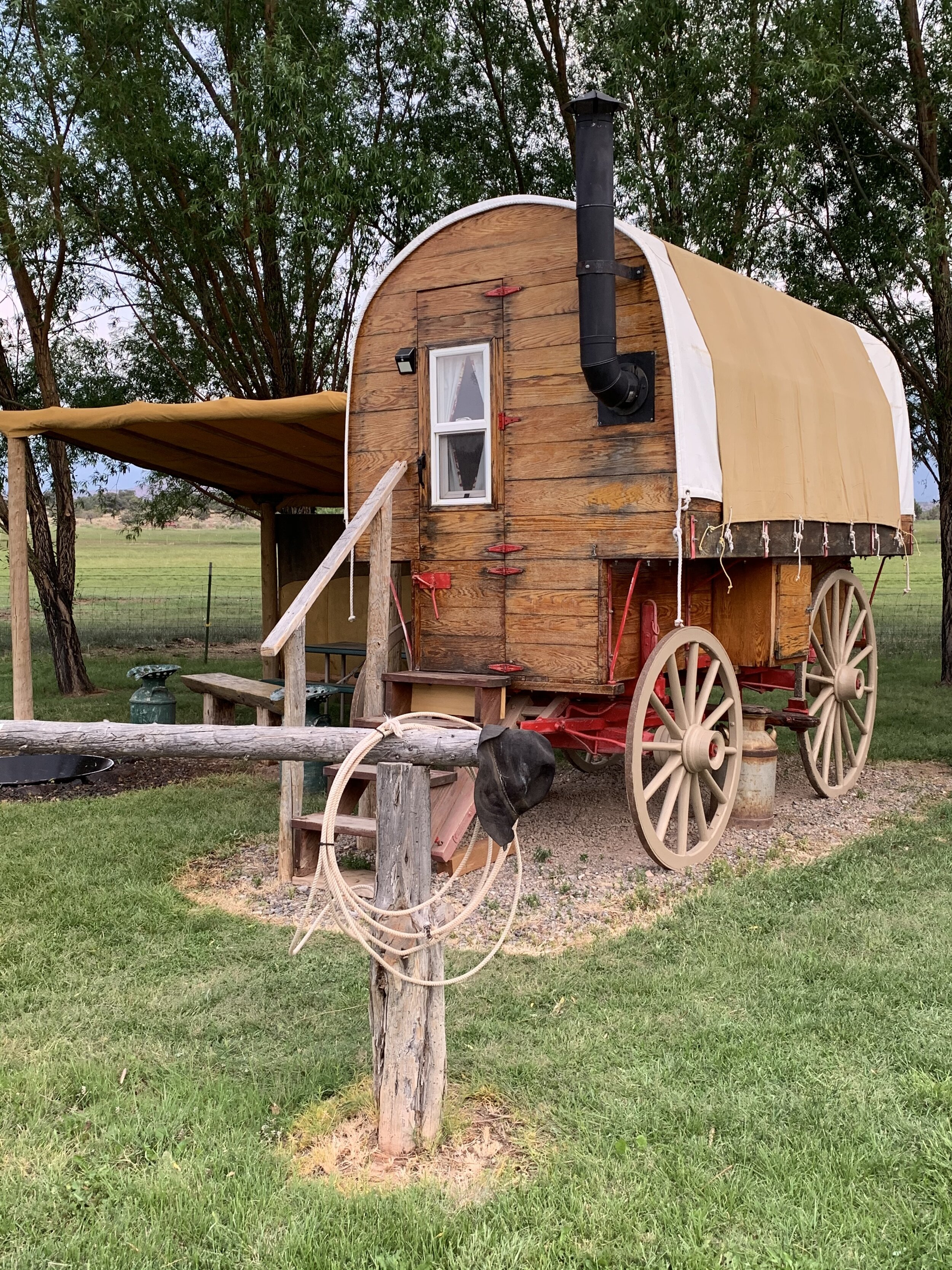
Our RV park near Capitol Reef NP displayed this model of camping-past and was named Wonderland in honor of the area’s history.
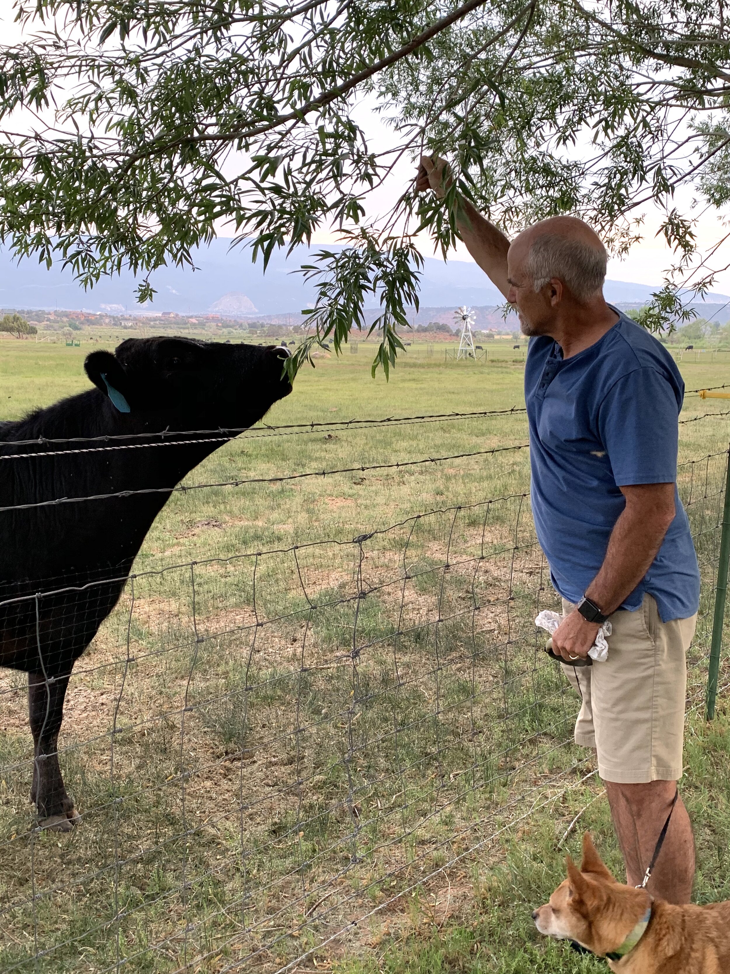
Wonderland RV Park was a peaceful place in the country and we enjoyed feeding the cows. 😉
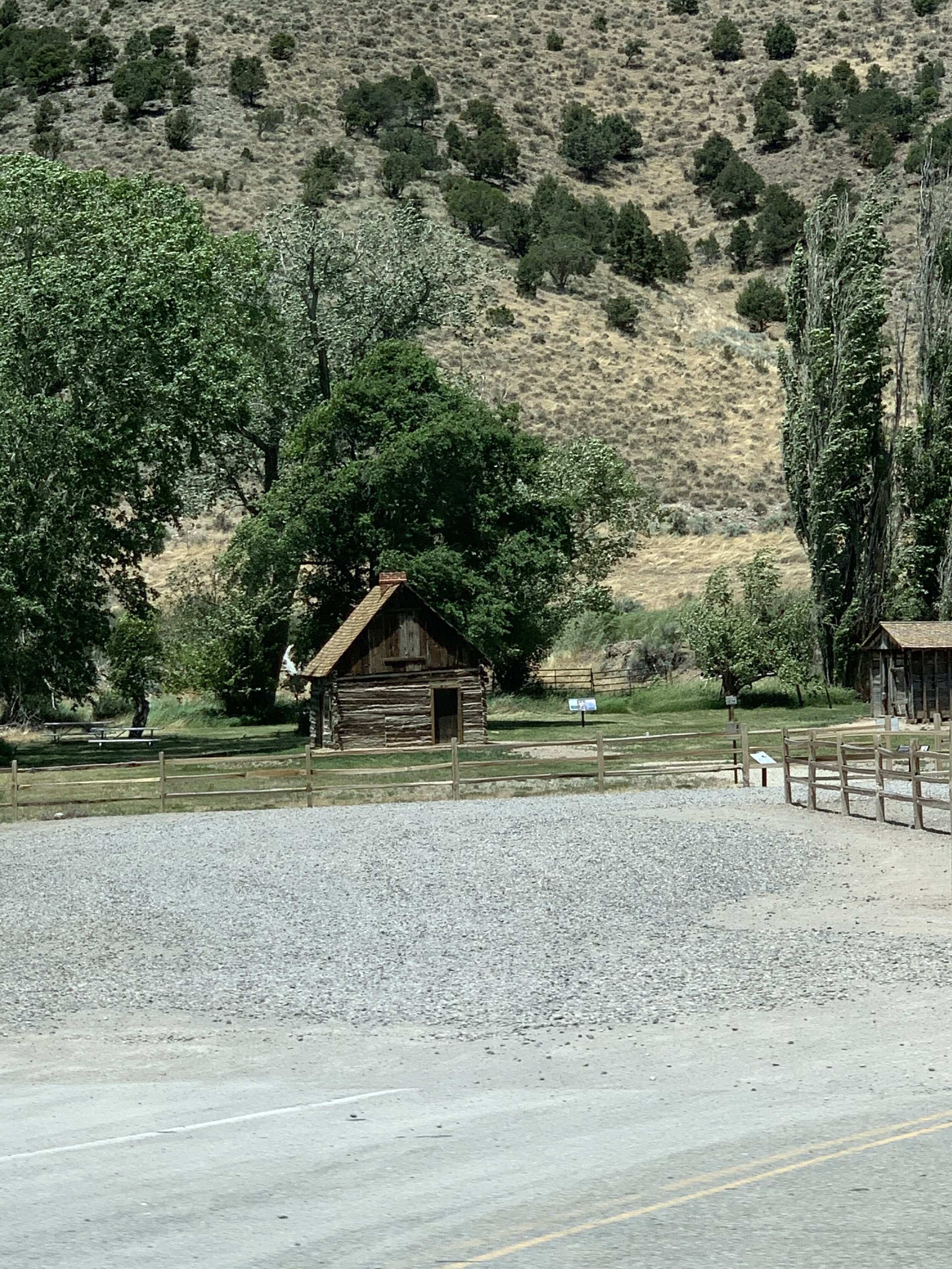
We’re not certain anyone cares, but this is where Butch Cassidy was born. We passed his birthplace in Beaver, UT en en route to Bryce Canyon National Park. Butch Cassidy was a train and bank robber, and the leader of a gang of criminal outlaws known as the "Wild Bunch" in the Old West.
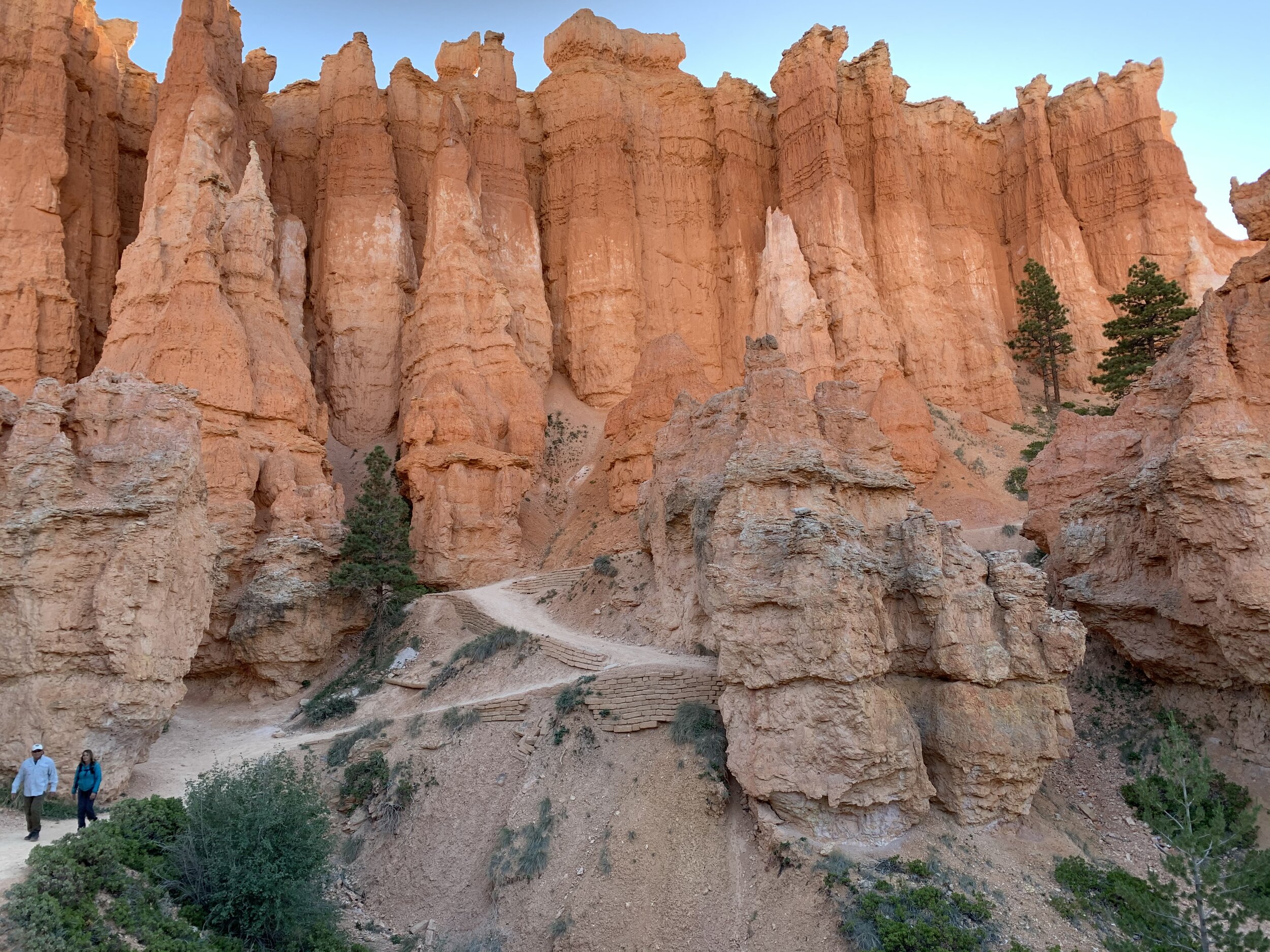
Bryce Canyon National Park is one of the most unusual and beautiful places we’ve seen so far.
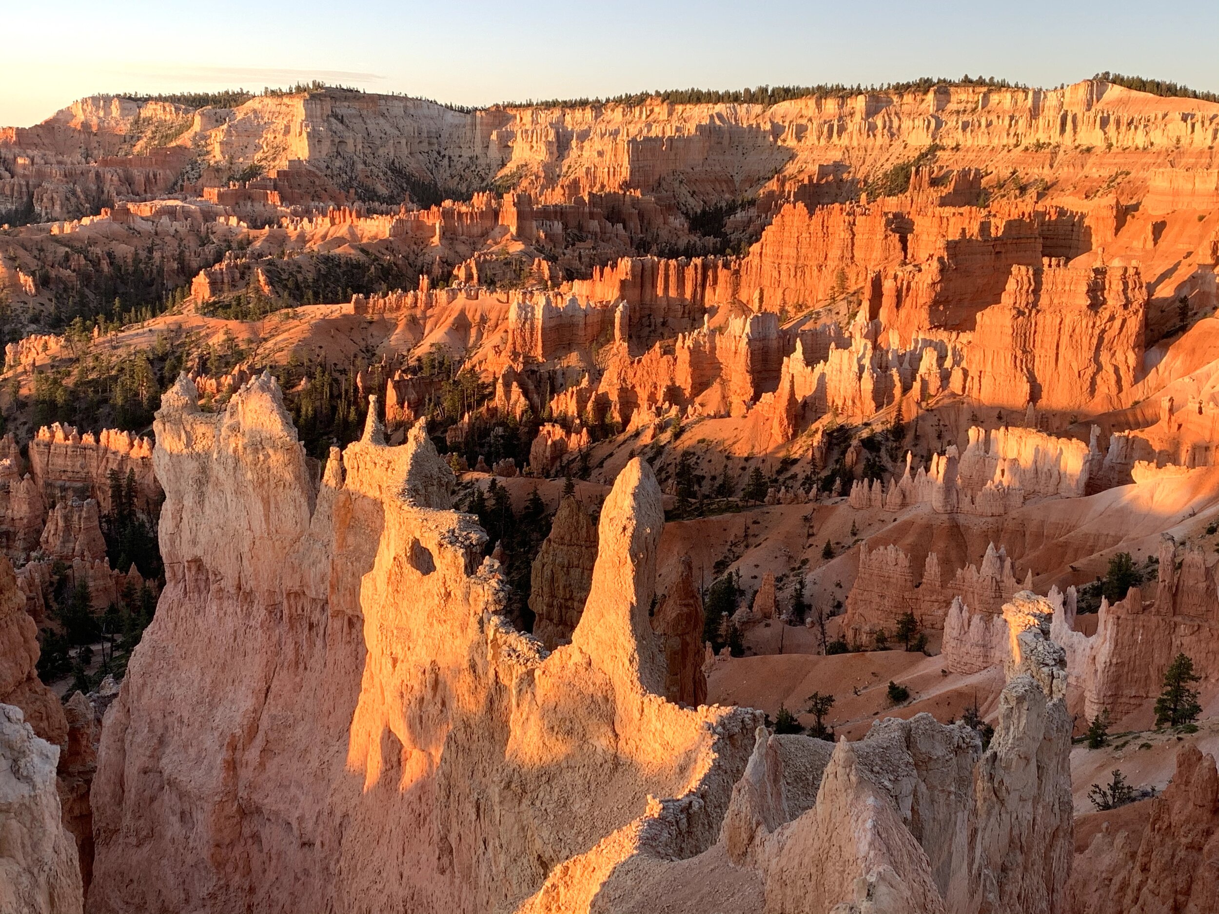
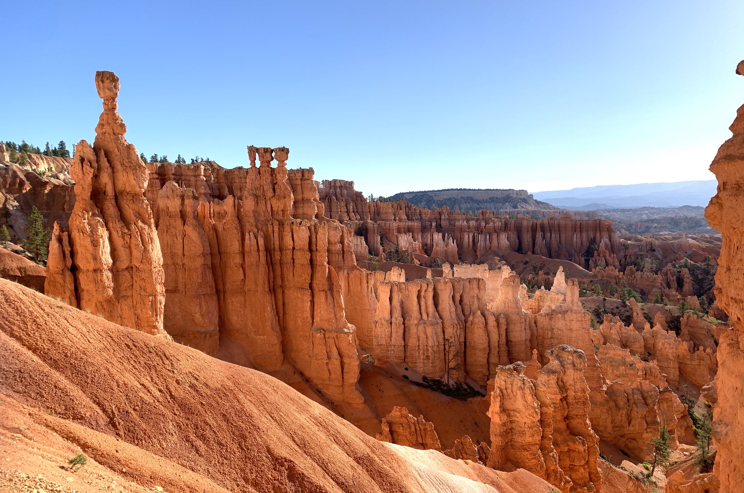
Bryce Canyon is a sprawling reserve of crimson-colored peaks, called hoodoos.
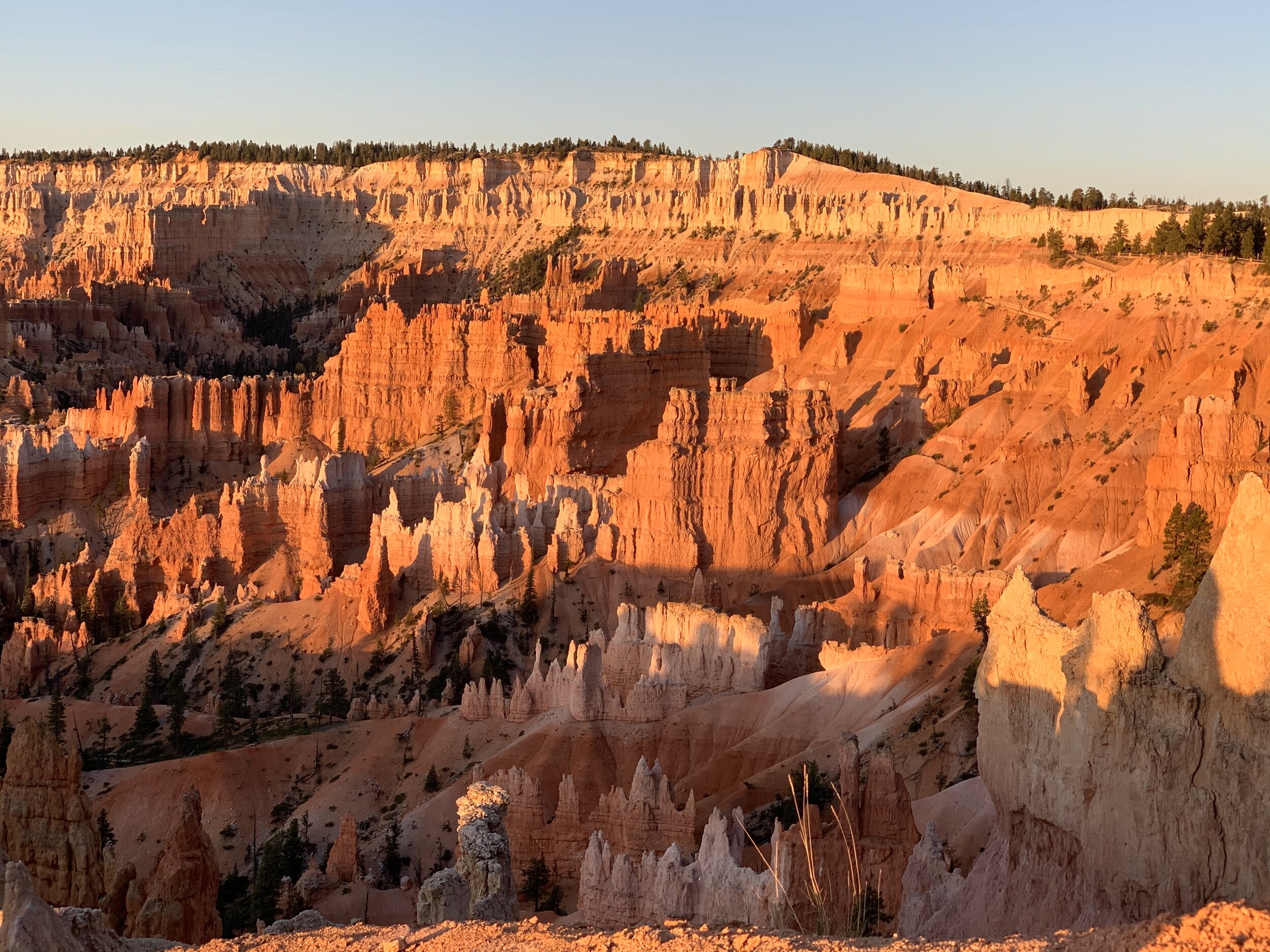
The hoodoos are believed to be 60 million years old,
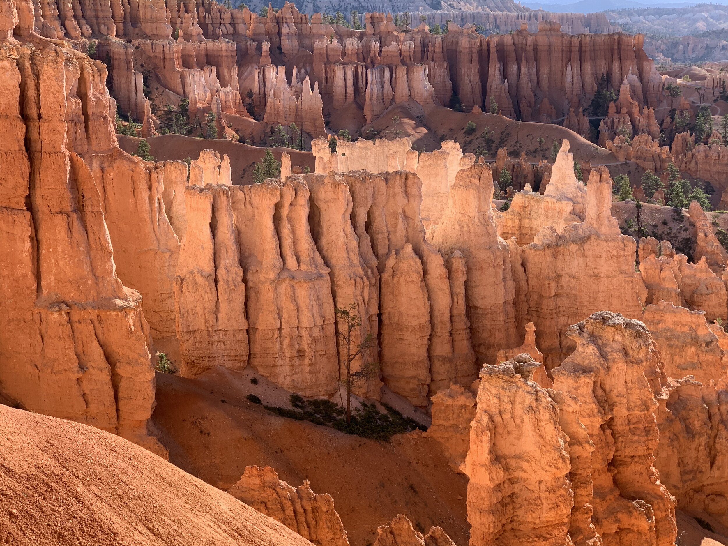
Boocoos of hoodoos!
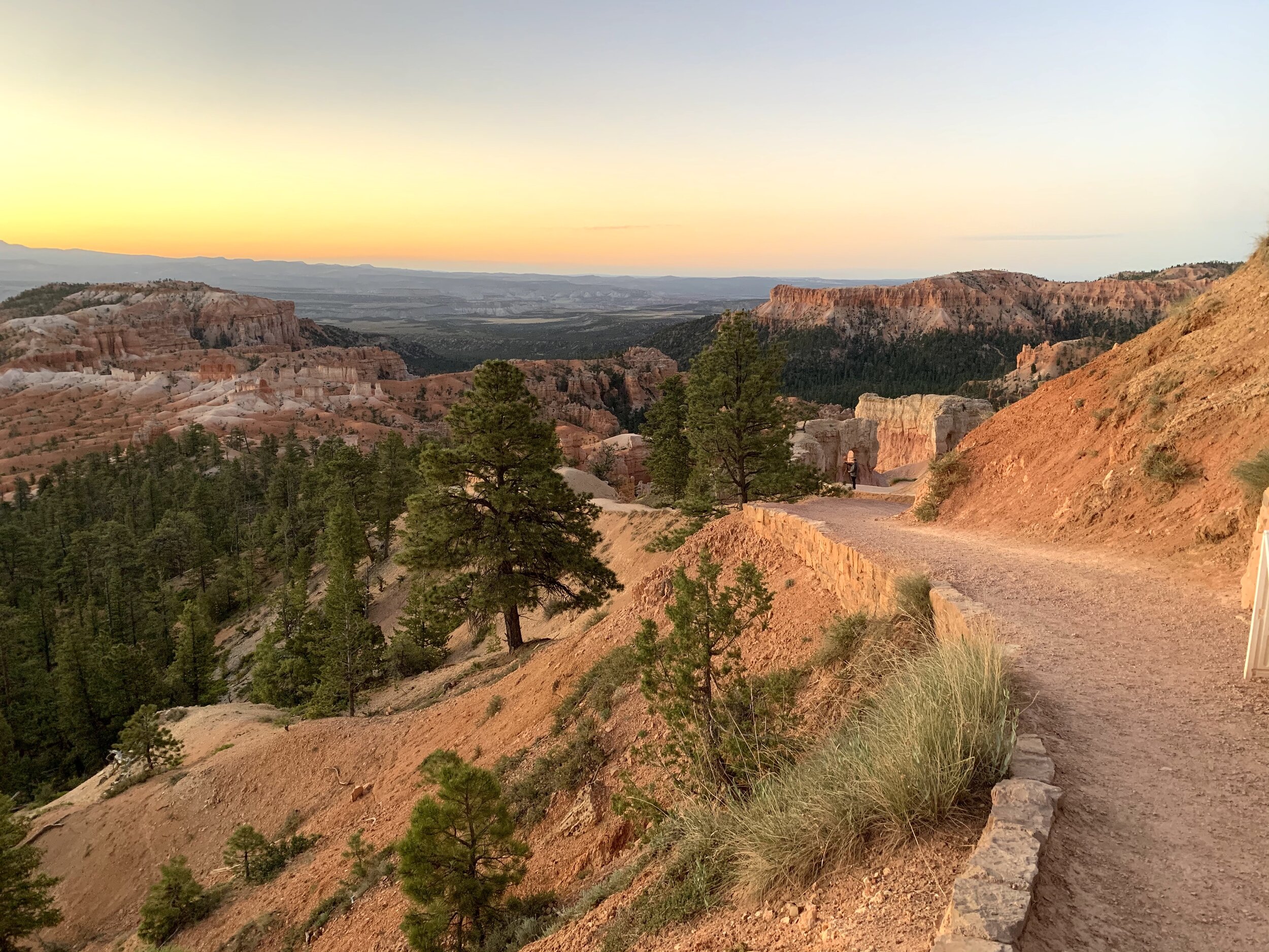
Here we had another early morning outing that started with photography and ended with a 5-mile hike.
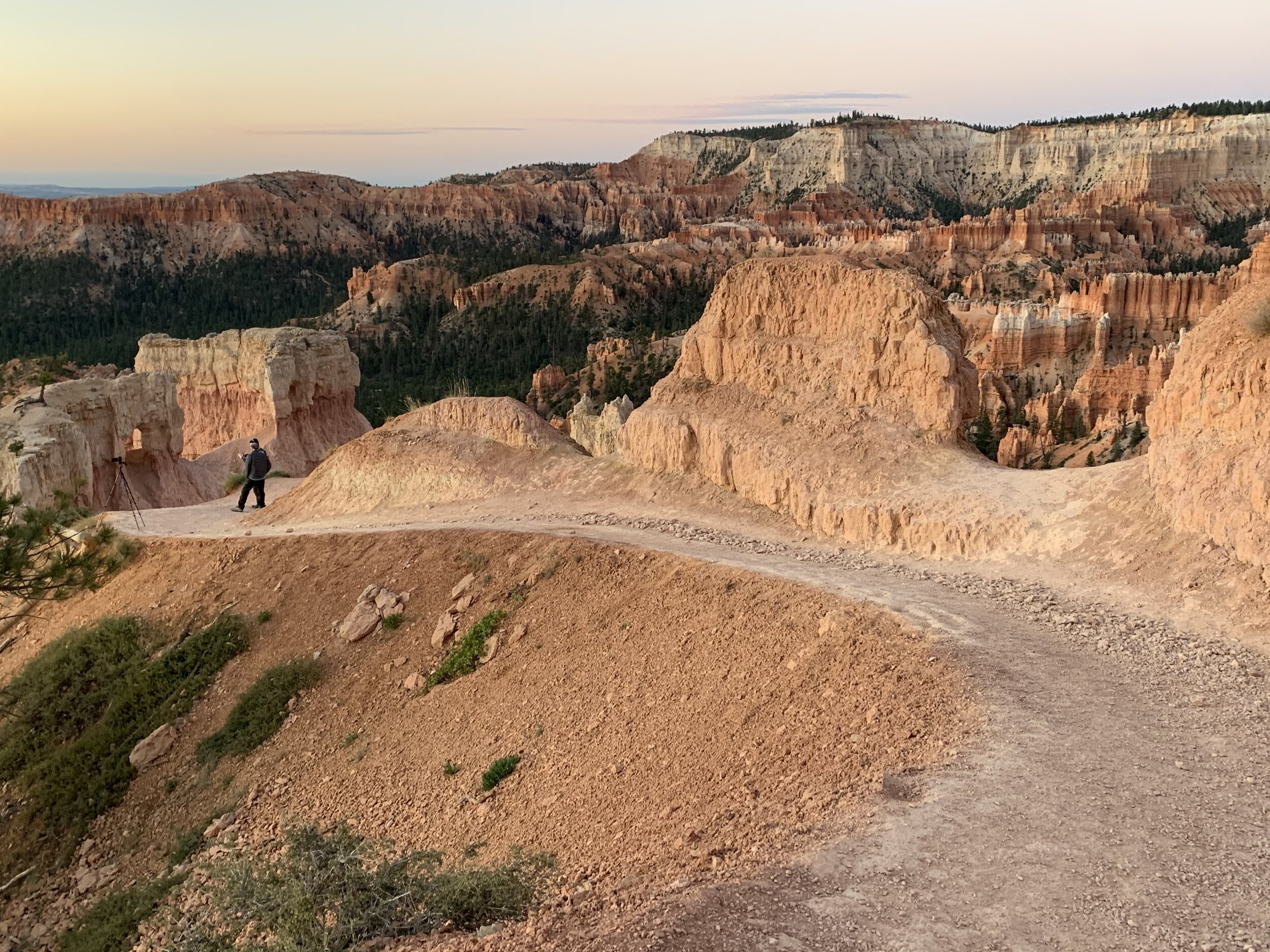
Craig setting up his camera for the sunrise shots.
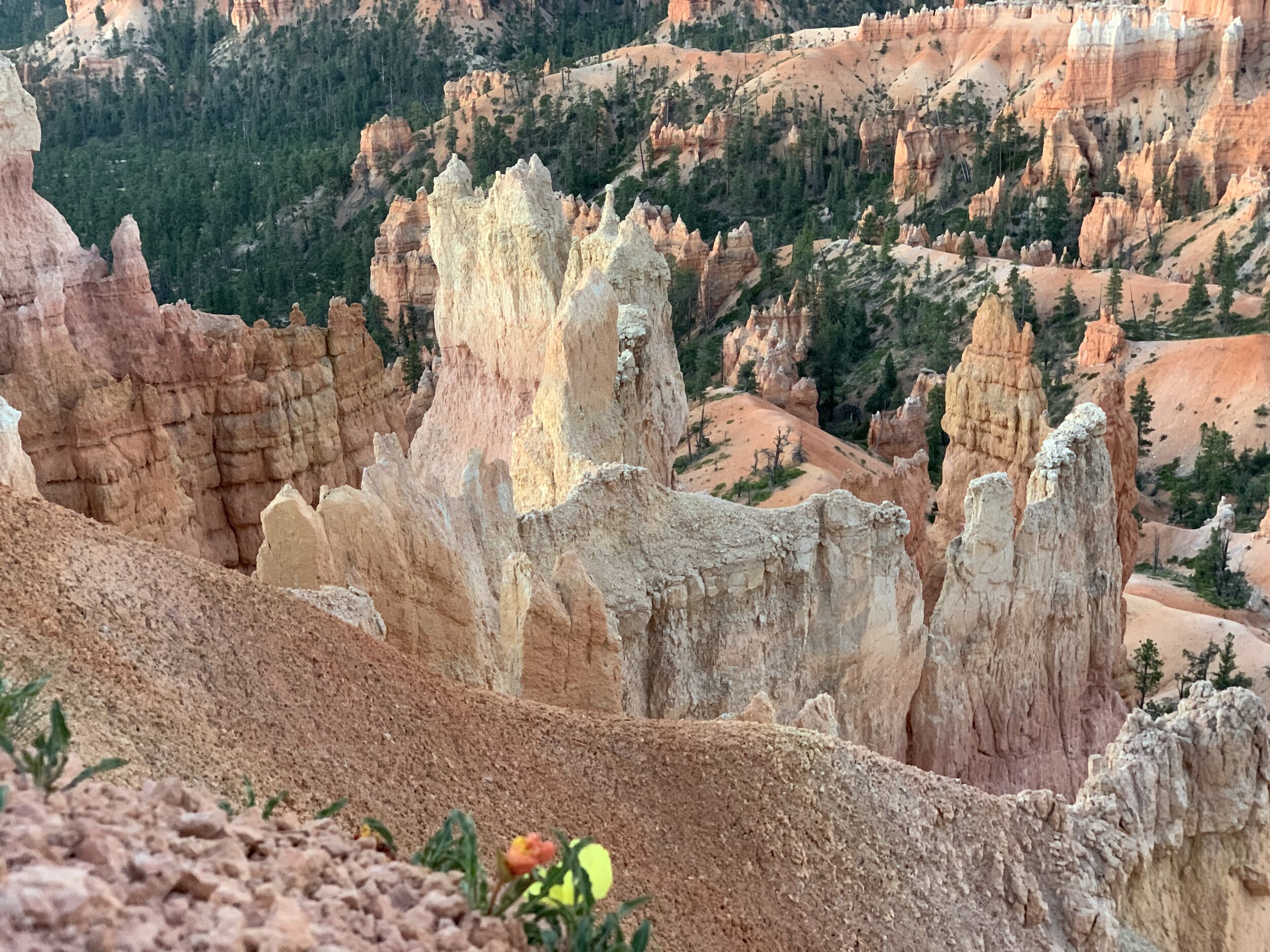
Meanwhile, I took note of a single batch of flowers growing in the midst of the rocks. I believe there’s a life lesson in there somewhere.
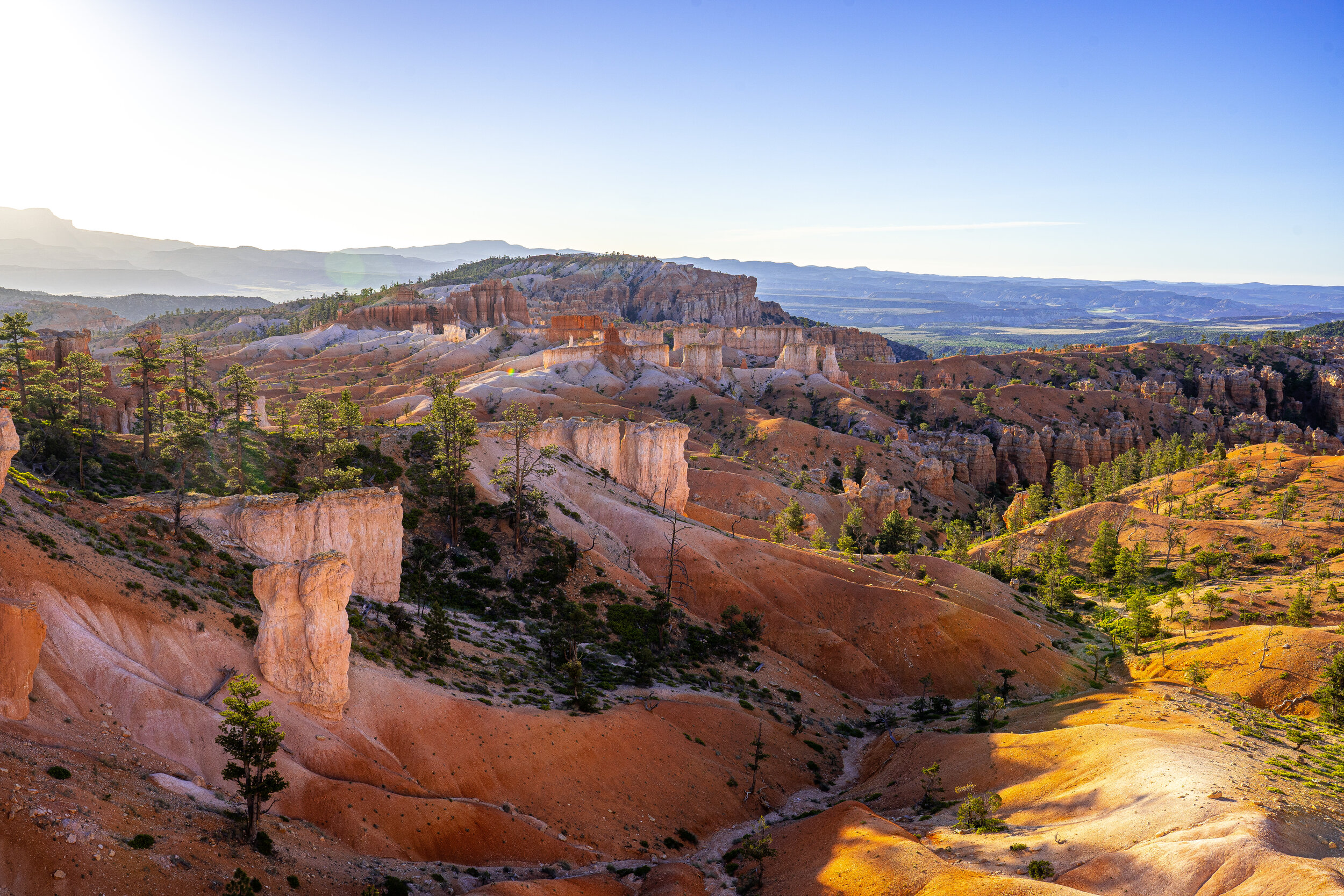
The Bryce Canyon area was settled by Mormon pioneers in the 1850s and was named after Ebenezer Bryce, who homesteaded in the area. Bryce Canyon was designated a national park by Congress in 1928. Craig took this beautiful picture of the Canyon.
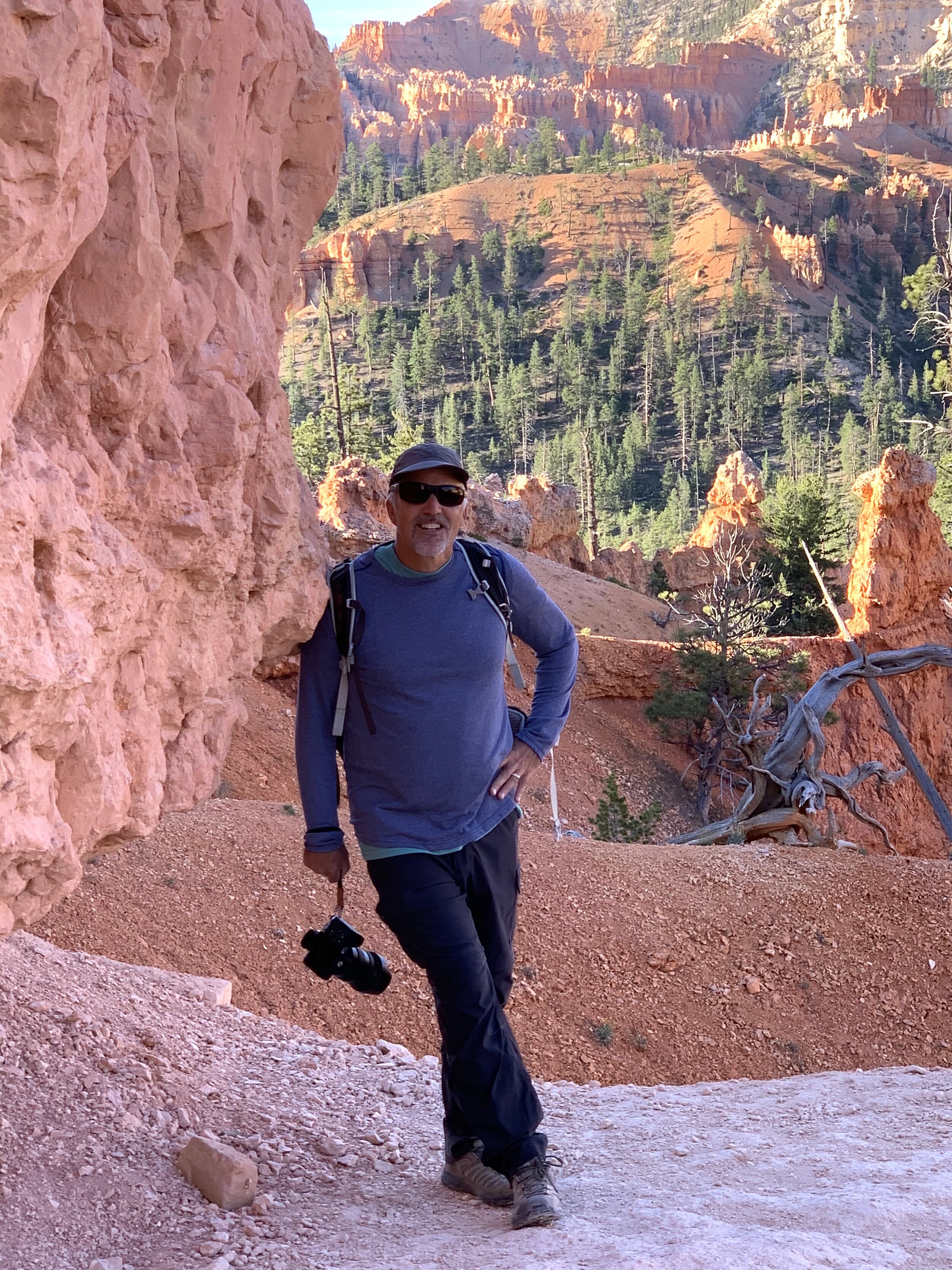
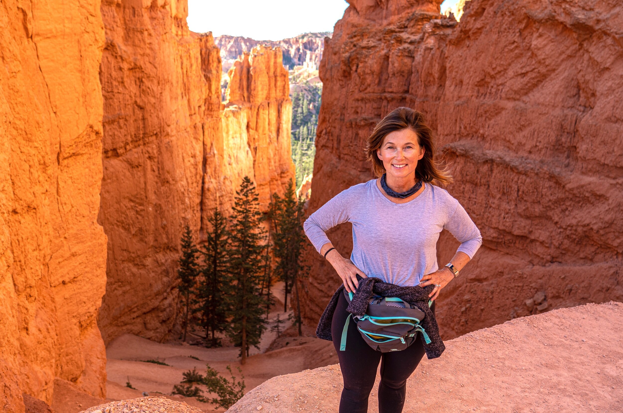
As we began to hike, there was a beautiful scene at every turn. Craig was my patient model. 😍
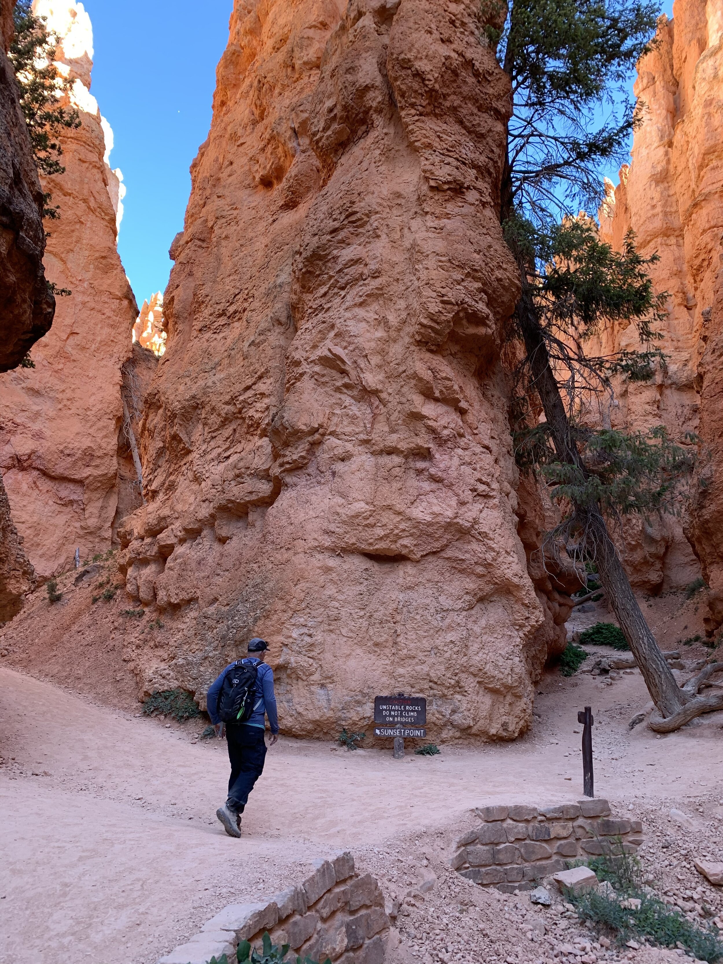
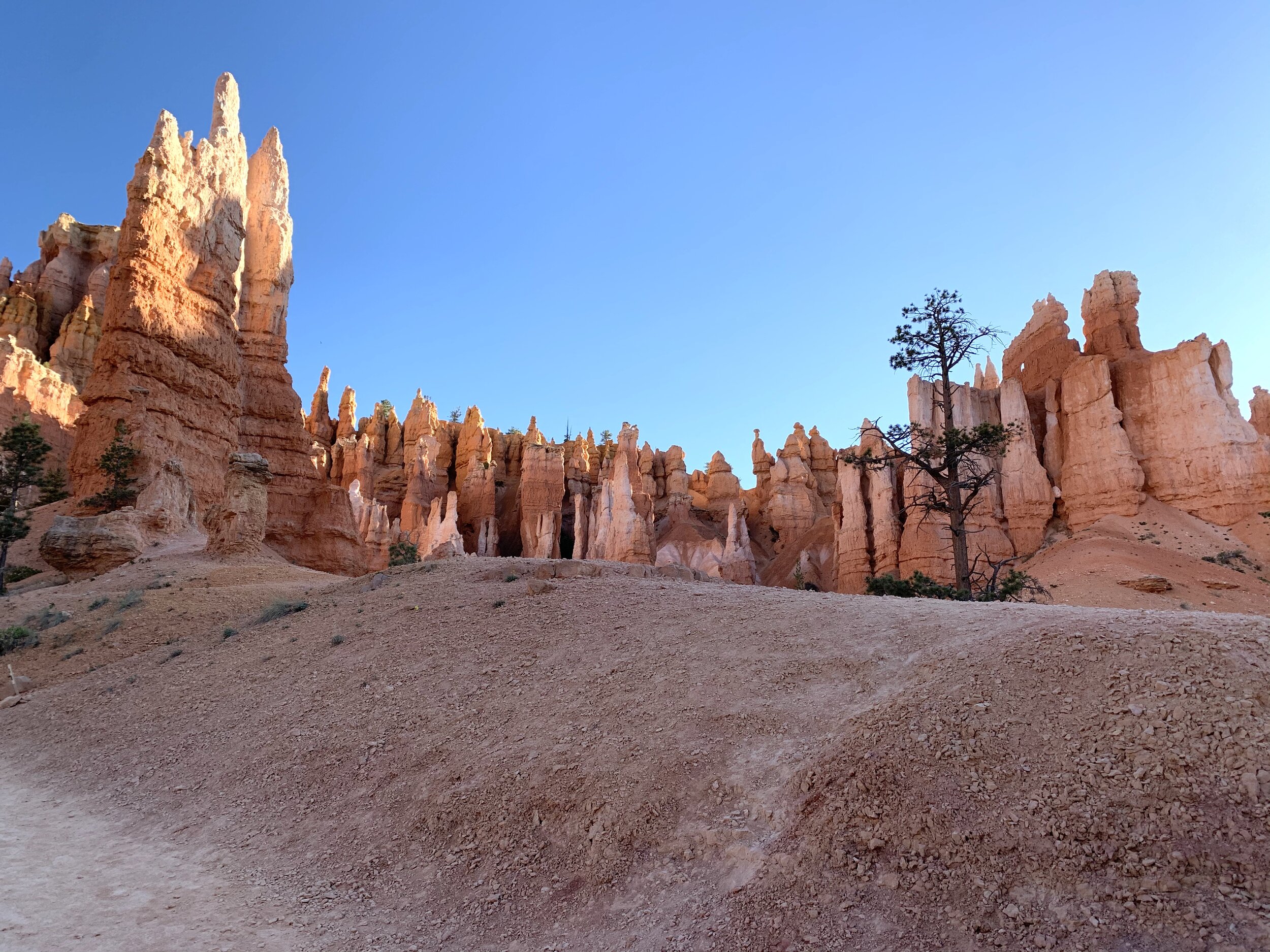
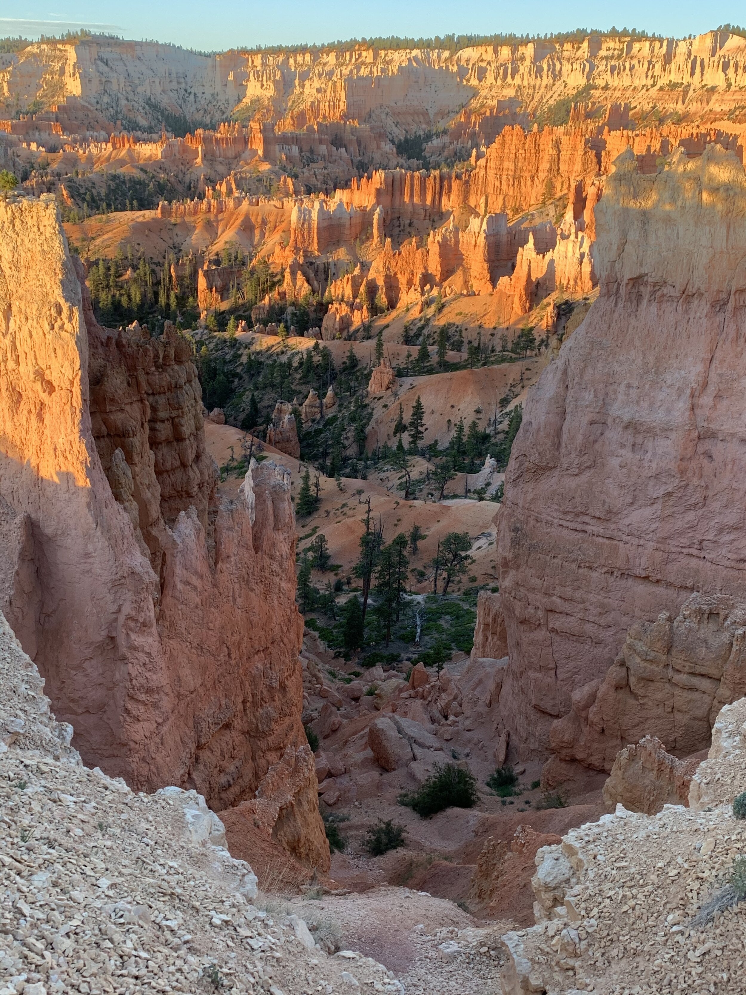
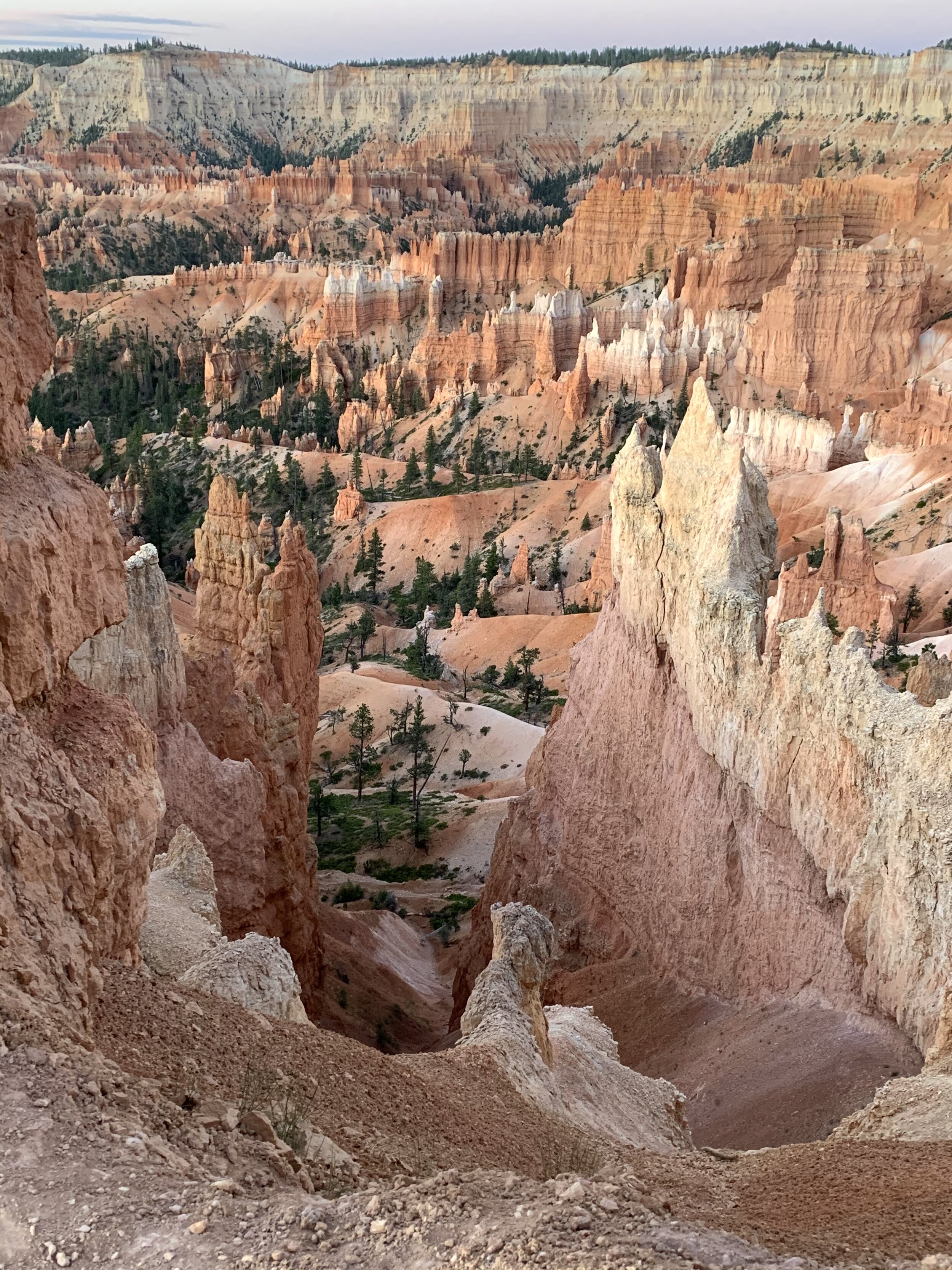
Once we went deep into the canyons, it was a long climb back to the green mesa on top again.
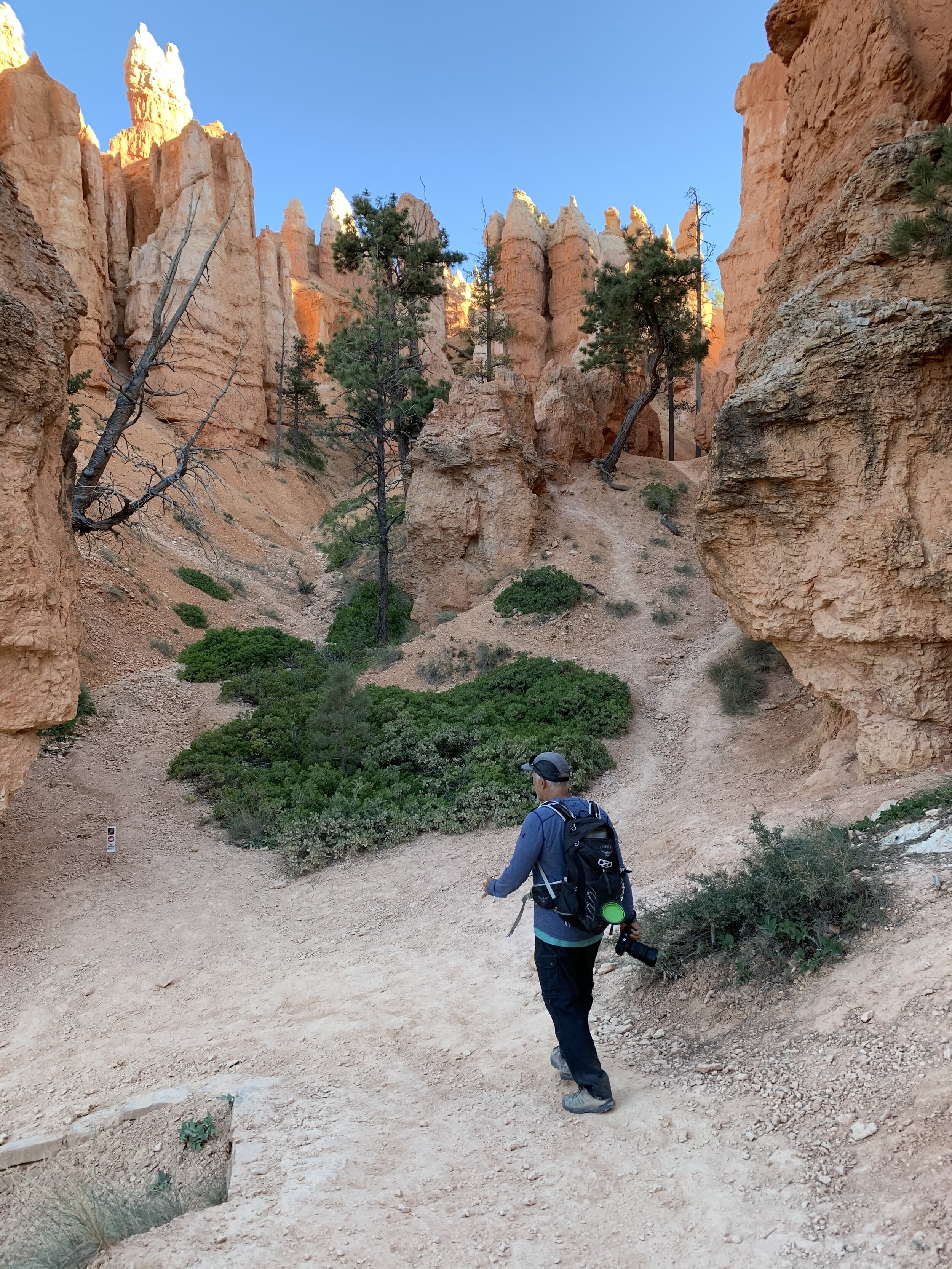
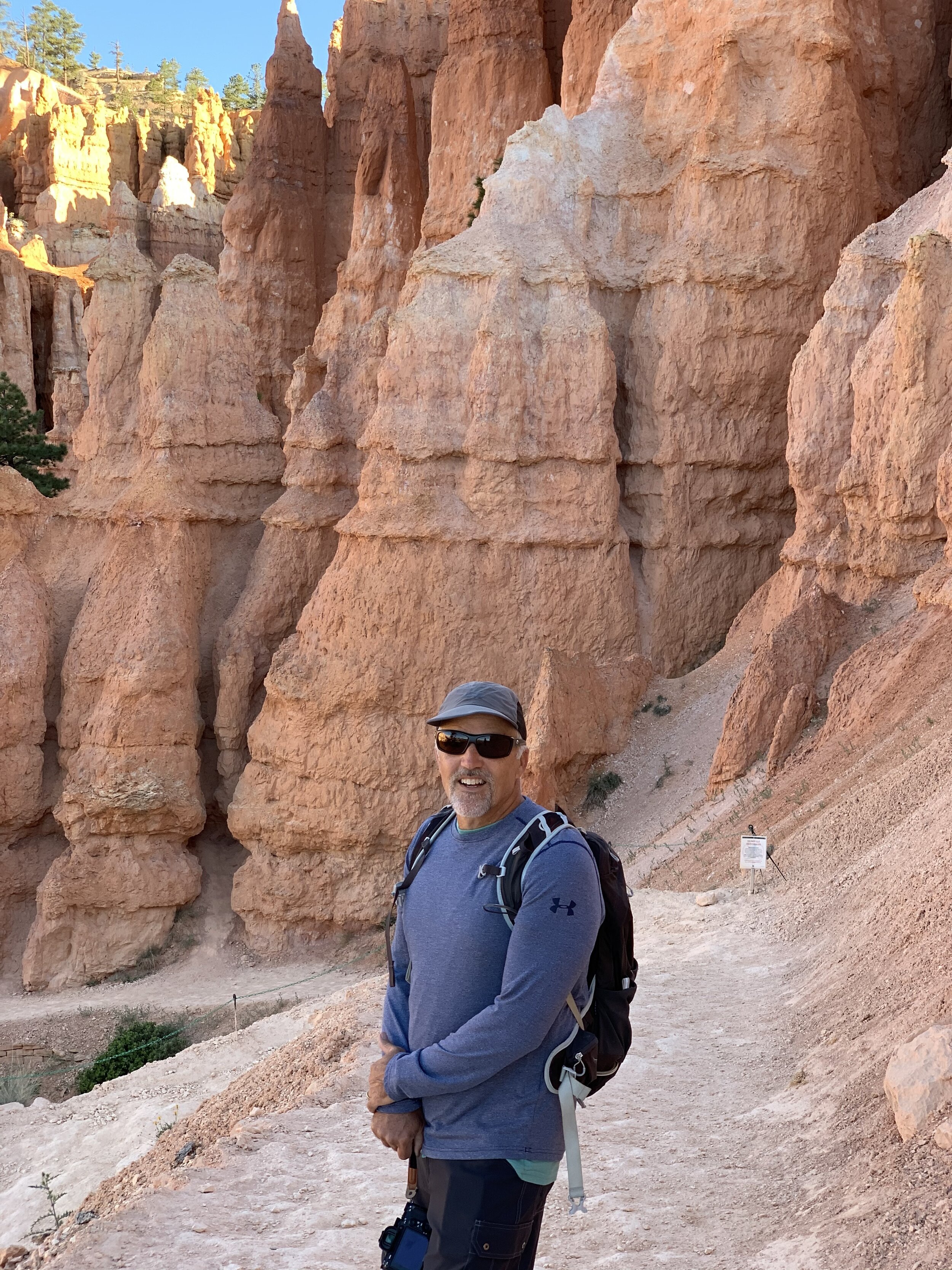
Craig enjoyed every step and I survived 😀

Any hike that involves spotting wildlife is a success in my book! I enjoyed sharing my almonds with this Uinta chipmunk. He gets his name for being native to the Uinta Mountains, named after the Ute Indian tribe and reservation, about 350 miles north of Bryce Canyon.
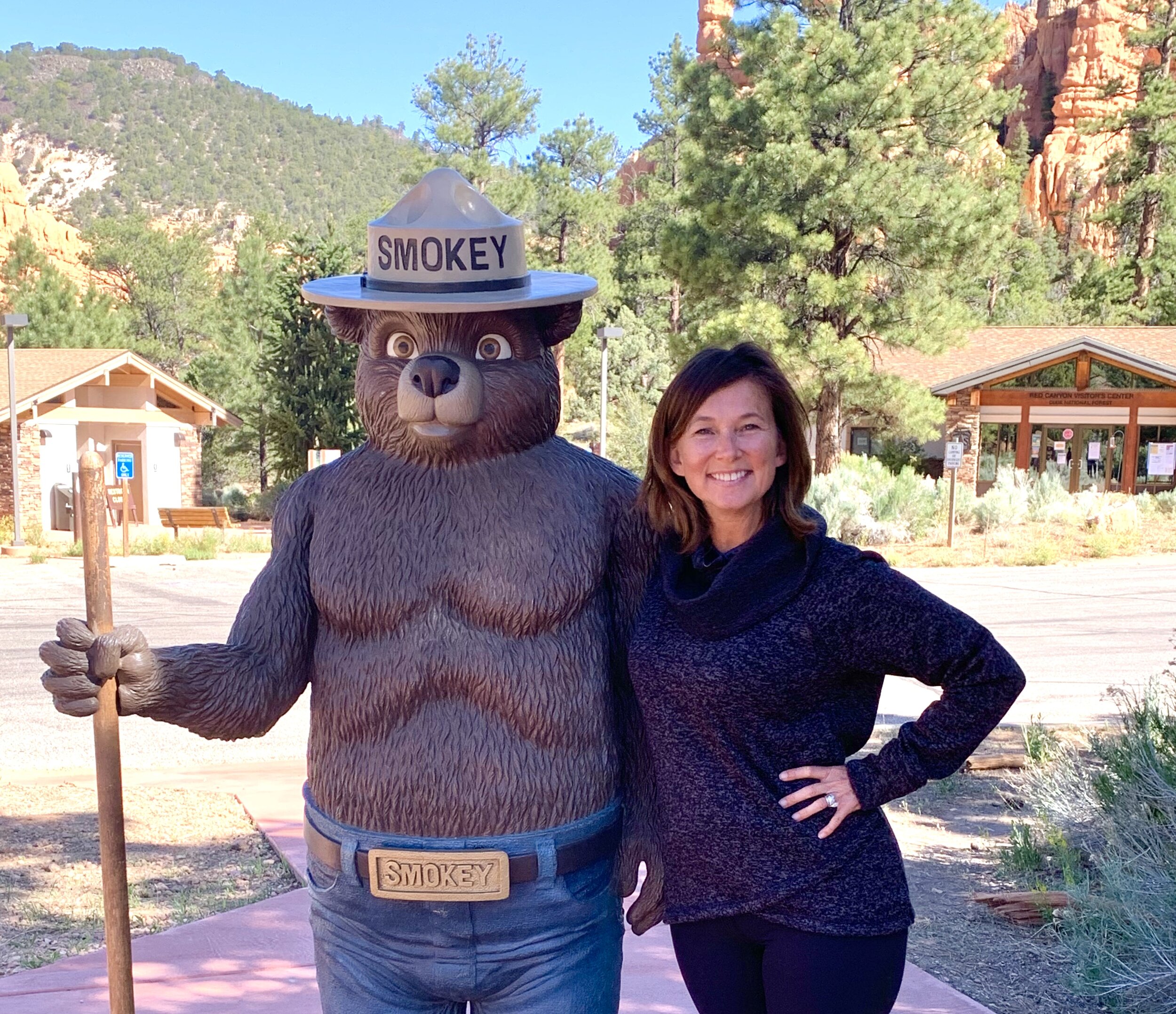
Did you know Smokey Bear’s fire prevention campaign is the longest running public service announcement in U.S. history? His career began in 1944 with the slogan: “Smokey says—Care will prevent 9 out of 10 forest fires”. In 2001 His slogan was changed from “Only you can prevent forest fires” to the current, “Only you can prevent wildfires,” to address the numerous accidental wildfires in recent years.

We noticed all the road signs had a beehive symbol and learned the beehive is the State Symbol of Utah. The early Mormon settlers used the symbol of the honeybee to represent hard work and industriousness. They saw the example of a beehive, in which all of the workers cooperated in the construction of something much bigger than themselves, as a model for a properly run society. What a novel idea!! Speaking of roads and signs, we are on our way to Nevada and Idaho! See you soon! ❤️
