Smoke Signals in California
Hi Everyone!
We hope you're all doing well! Our first and only stop in California was near the Redwood Forest National Park, about 20 miles over the Oregon state line. As we explained in our last post, we've made a detour. We planned to explore California's coast for 3 to 4 weeks, but navigation through the state was difficult since 2020 holds the title for the largest fire season in California's history. If there wasn't an actual fire, the smoke hampered activities for many miles around. On the day we planned to leave the Redwood Forest area the smoke was getting pretty heavy. We chose to return to Idaho. We enjoyed our visit earlier this year and didn't get to see the city of Boise—so, Boise it was!
From California, we drove northeast and across the entire southern border of Oregon. After all the bragging we did previously on Oregon's lushness, we learned that the state's central and southeastern part is desert land! After a few days in Boise, Idaho, we stopped in Utah briefly and visited Dinosaur National Monument, which straddles Utah and Colorado's border. As the park website says, Dinosaurs once roamed here, and their remains are still embedded in the rocks. A pretty incredible story and sight, and we've shared some pictures.
While we were in Utah, we ate at a local restaurant in the city of Vernal. We were not familiar with the word vernal and debated its pronunciation—is it vernal rhymes-with-kernel? Or, is it vernal, sounds like VER-NOW? We asked our server; he casually said, "It's Vernal, just like the vernal equinox." "Ohhhh," we said, and looked at each other as if to say, "Of course!" But we had no idea what vernal was—or equinox. 😬 We had to google it, and we learned a little something that evening. We had a good laugh about how we went from unsure to clueless in a matter of seconds! Oh, and it's vernal, rhymes-with-kernel. 😉🌽
Next, we will spend about three weeks in Colorado. Such beautiful country there! Much love to you all!
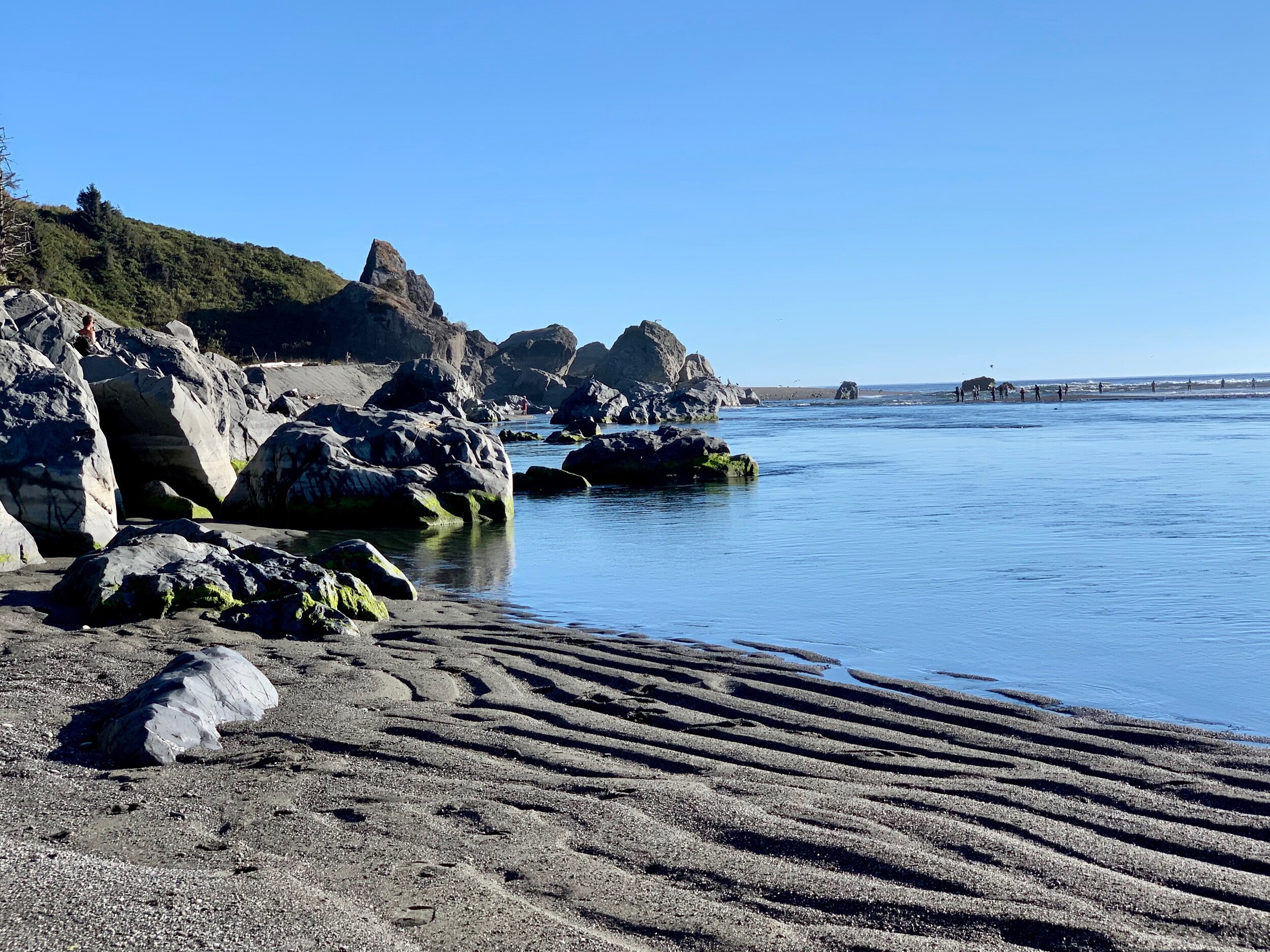
The Smith River dumps into the Pacific Ocean at the very northwestern tip of California. Because this is the largest free-flowing river in the state (no dams), it's a prime spot for fishermen and for seals to find notoriously oversized salmon. As we walked the black sand beach and climbed the rocks, we watched several seals come almost to the shore to run down their salmon.
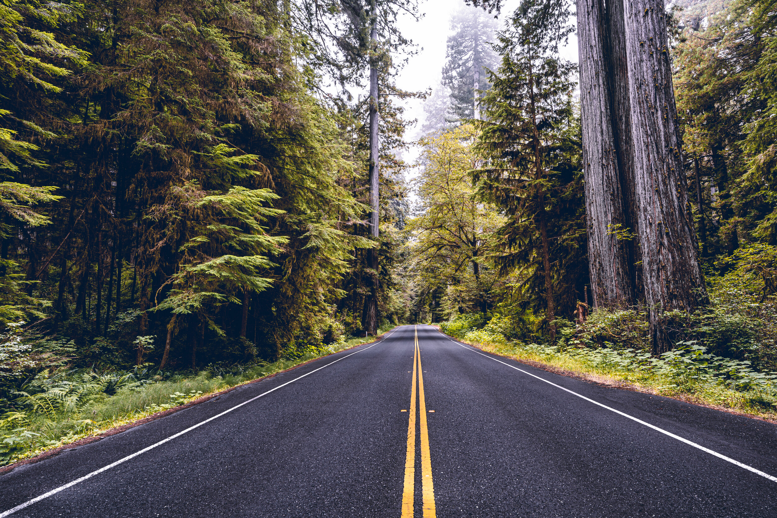
The Redwood Forest is nearly the first thing you come to in California when traveling down Oregon's coast.
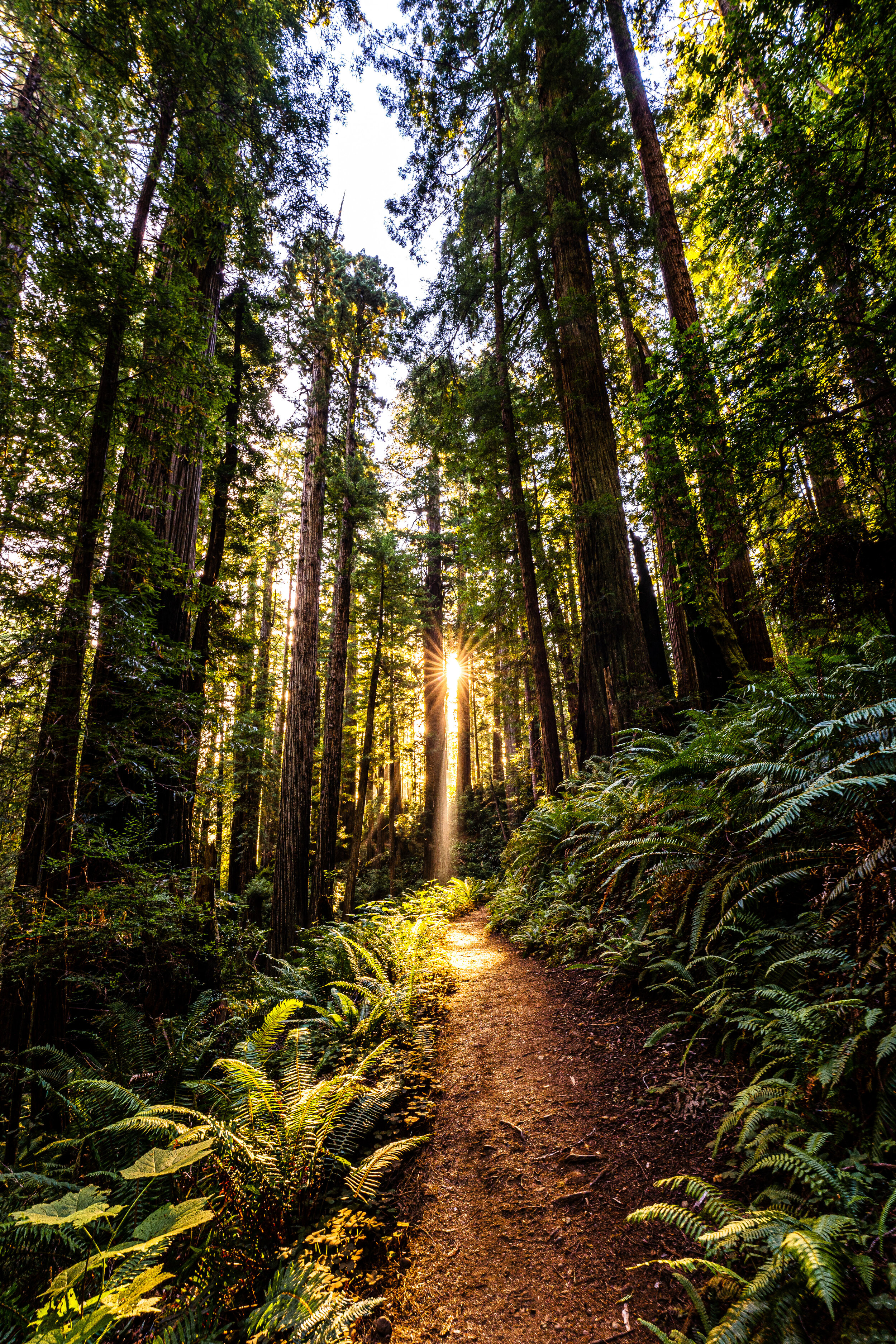
The Redwood tree is the tallest tree on Earth. Right now, there are about 50 redwood trees taller than 360 feet living along the Pacific Coast—that’s about 100 feet higher than the tallest pine tree.
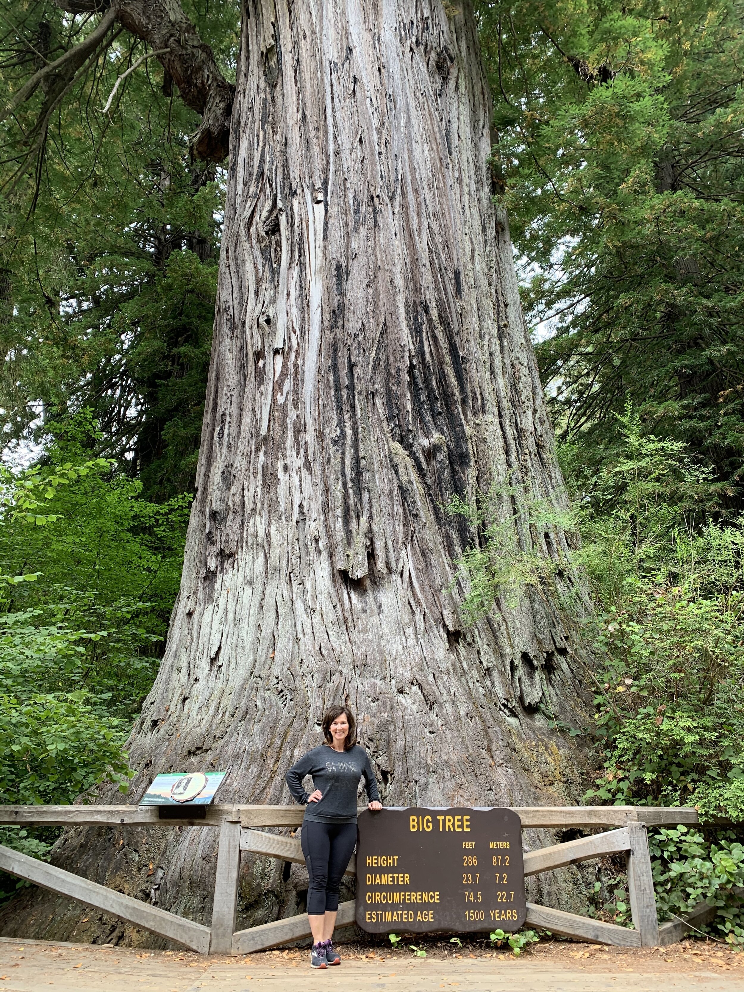
Big Tree is not the biggest tree in the forest. It just happens to be one of the big trees. This particular tree has a circumference of over 75 feet and is estimated to be about 1,500 years old.

As you can see from this sign, there are lots of big trees in the Redwood Forest.

There are many trails in the Redwood Forest, and they all contain these spectacular giants. As I took this photo, Craig thought he heard a voice coming from above and softly whispering, "Helloooo." He ignored the voice but then heard it again: "Helloooo."
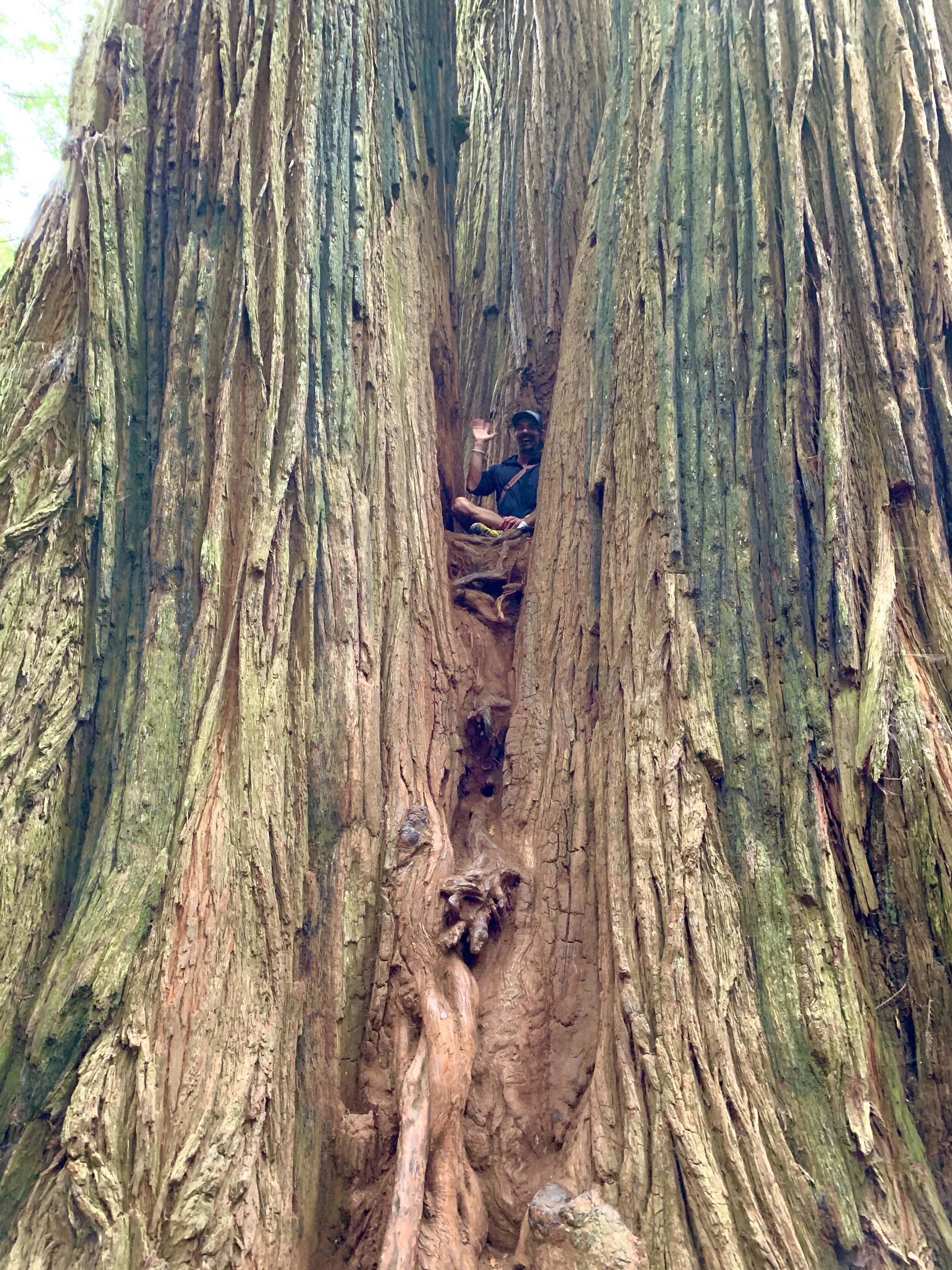
As Craig began to look around for the source of the voice, he spotted this man nestled between three Redwoods about 20 feet above the ground. After a good laugh, the man invited Craig to come up and join him in the tree. Craig politely declined. 😊 The man came out of the tree, and we spoke for a while. He was a New-Age naturalist motivator/speaker and just happened to be up there getting a little positive energy from the trees. 😲

Damage to this tree’s bark caused the interior to be vulnerable and further damaged by fires in years past. Early settlers made use of these hollowed trees and used these “goose pens” to corral fowl or even horses.

Massive redwoods are part of the culture of the northwest part of the state. This is one of a few drive-through trees in the area. We barely fit!

Prairie Creek Redwoods State Park near Redwood National Park is known for the hiking trail through Fern Canyon, where various types of ferns grow over a 50-foot wall. This lush tropical paradise was a filming spot for The Lost World: Jurassic Park and other shows featuring dinosaur habitats.
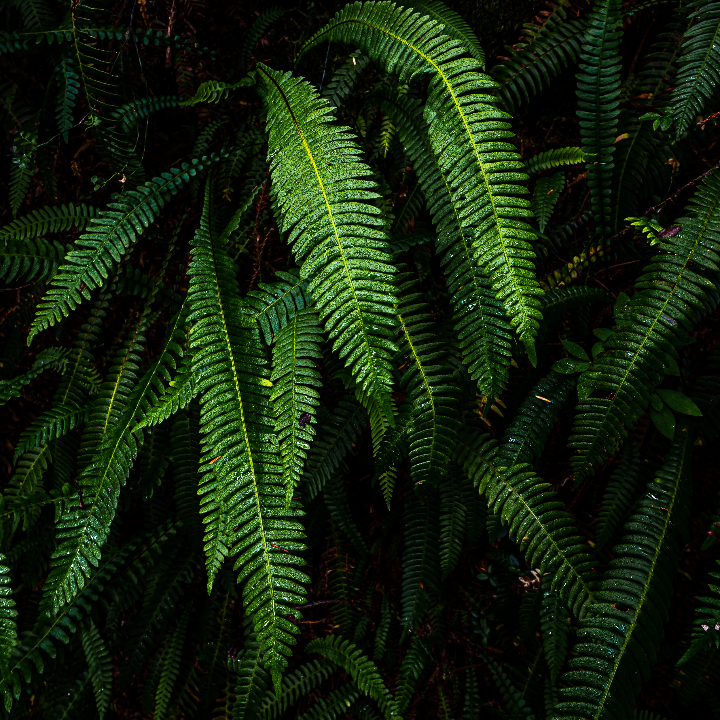
The greenery in Prairie Canyon consists of ferns native to California and many ferns we also saw in the lush areas of Washington and Oregon.

Less than a mile from Prairie Creek Park is Gold Bluffs Beach. Many people were in Fern Canyon, but to our amazement, not a single person on this beautiful beach.
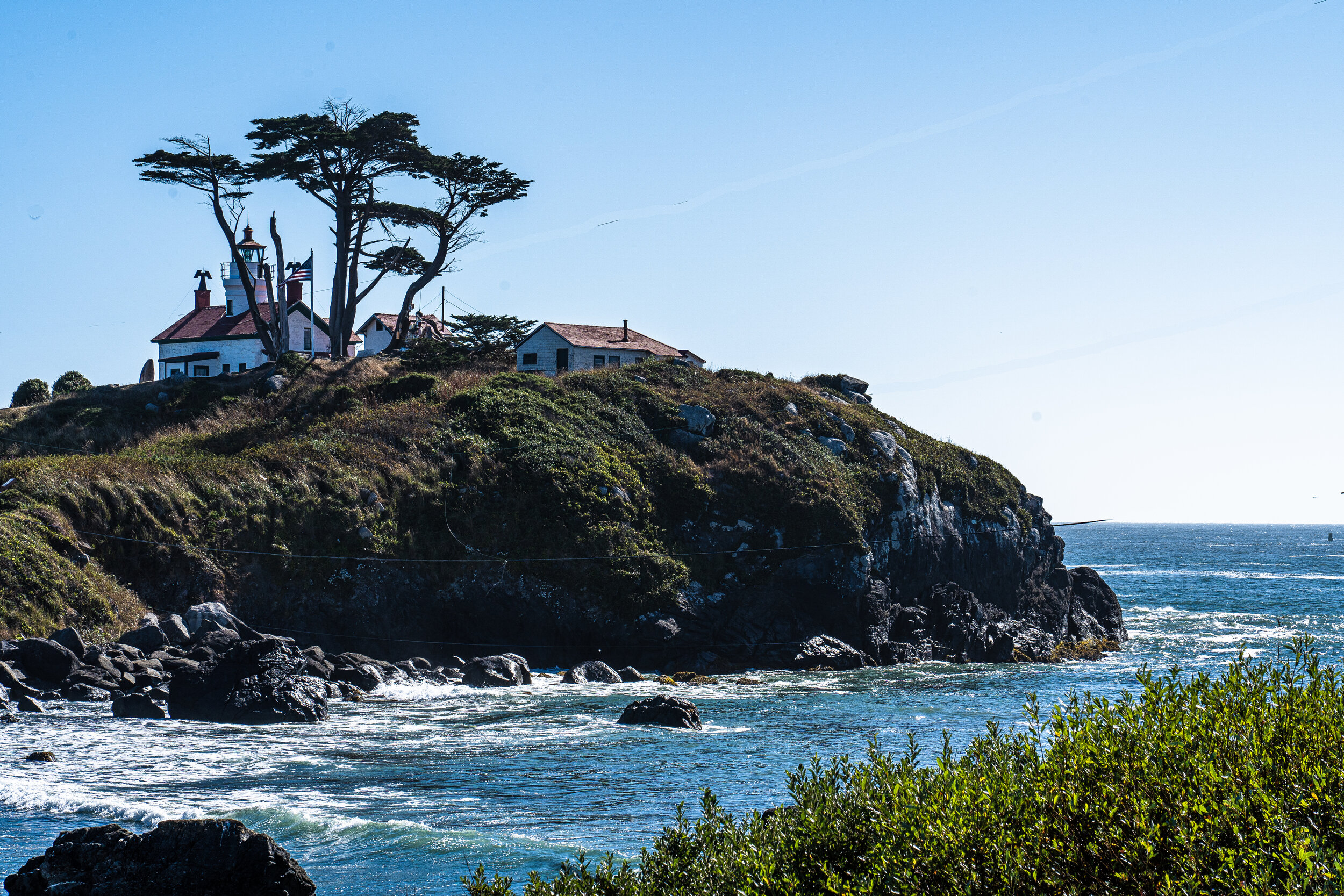
Constructed in 1855, Battery Point Lighthouse in Crescent City is one of the oldest lighthouses in California.

In Crescent City, California, we talked to this nice couple and their adorable, goggle-wearing dog. He did not enjoy the rides before goggles, but now with his new eyewear, he's good to go anytime!
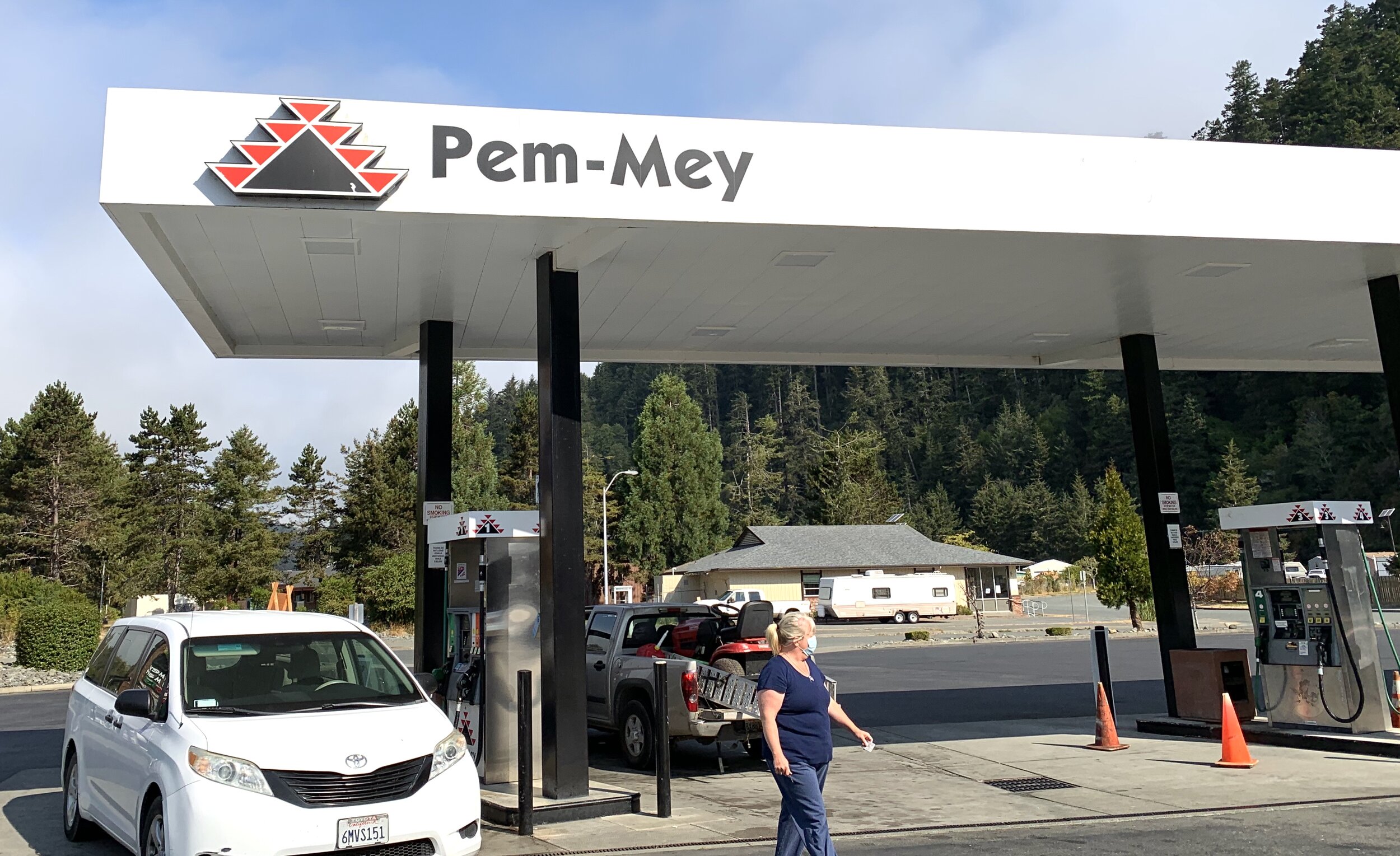
Many new things in the west; getting gas on the Yurok Indian Reservation in Klamath, California. Is there any chance Pem-Mey means QuickTrip?

En route to Idaho, we passed through the southeastern area of Oregon. Here is the remote desert we didn't know existed—miles and miles of nothing.
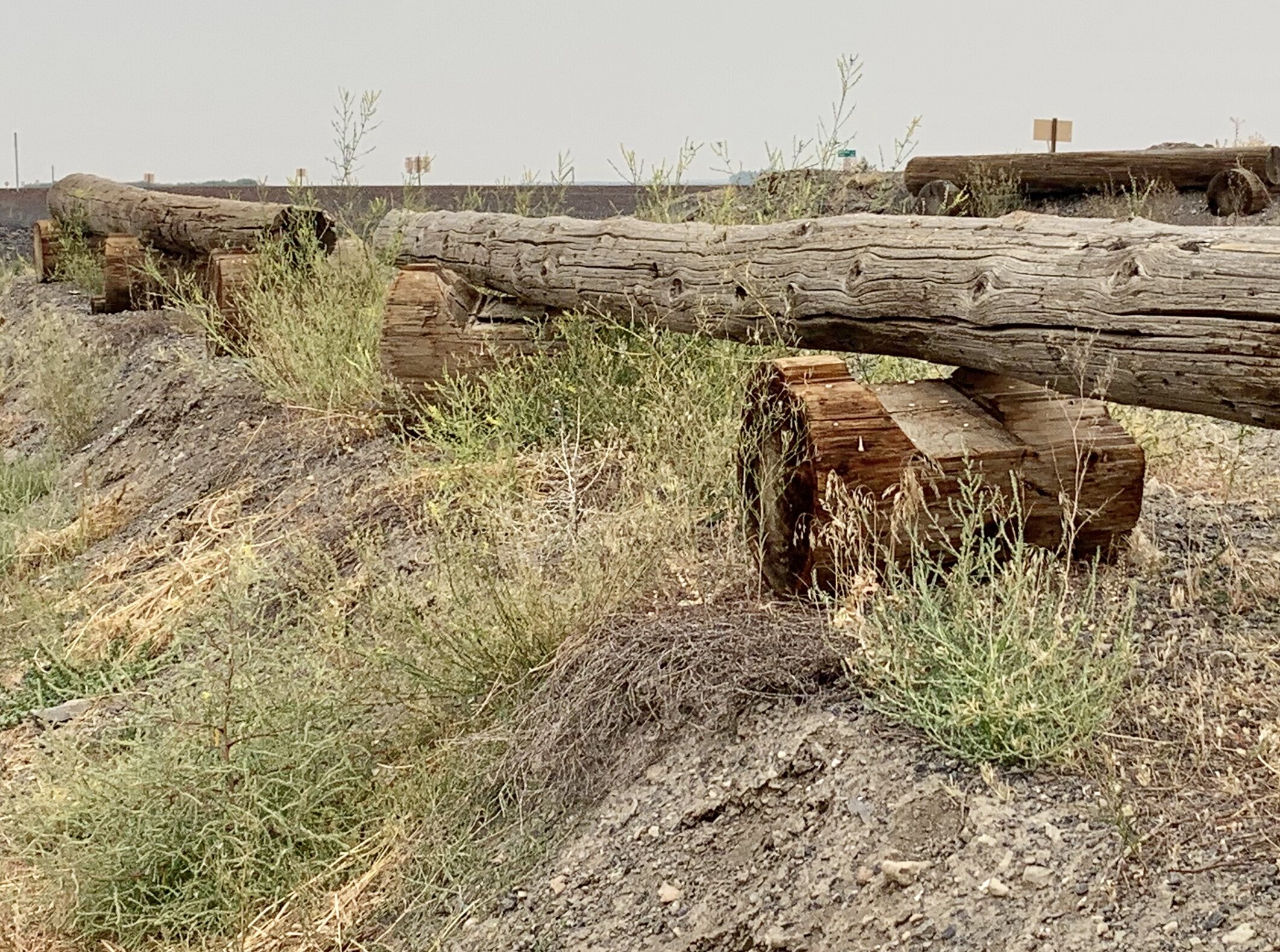
There’s not much to look at while out in the desert for hours. Perhaps that is the reason I was so impressed with these real-life Lincoln Logs alongside the road. 😄
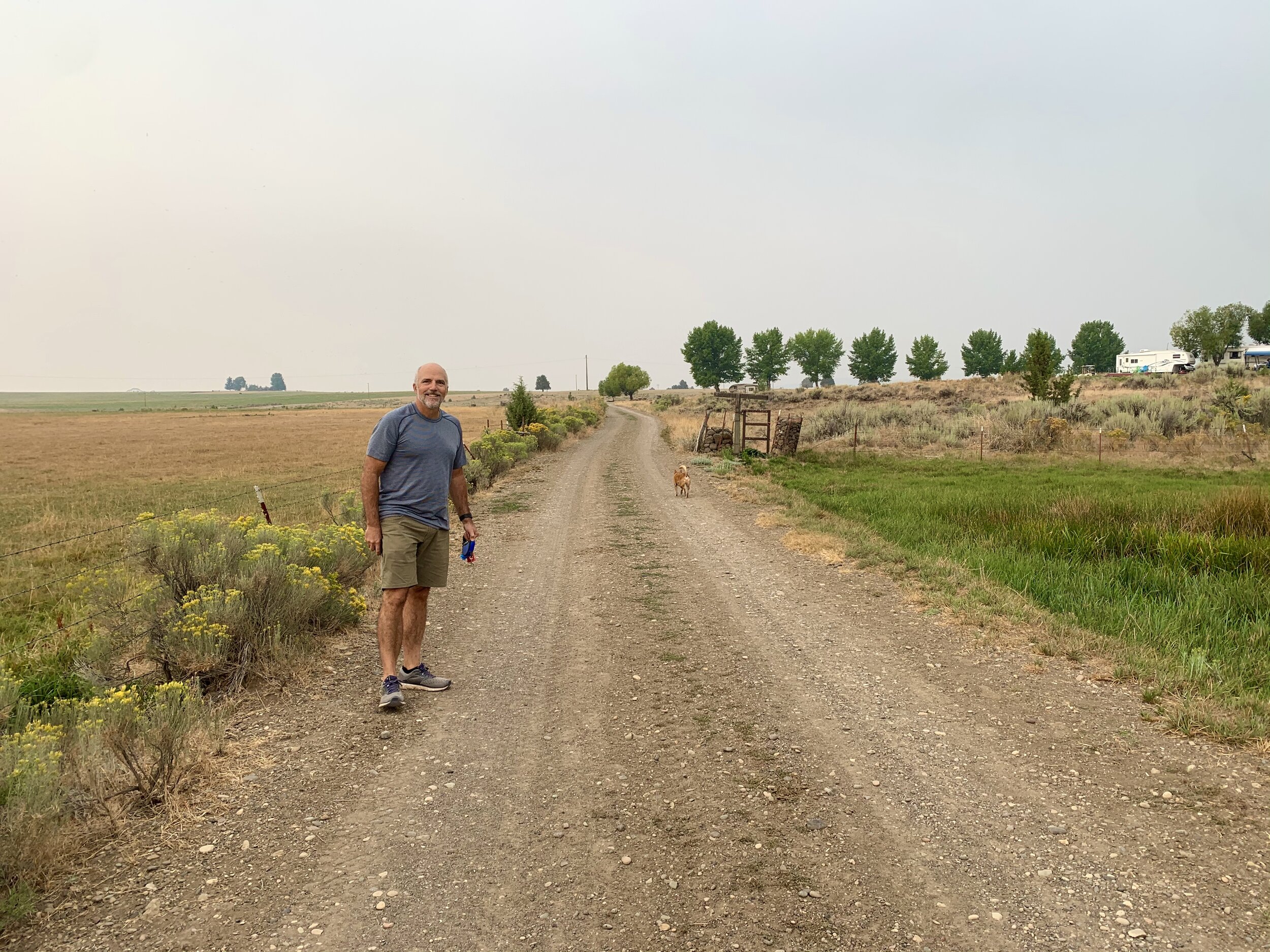
In Lakeview, Oregon, we stayed at a remote RV park in the desert. It was still a little smoky here, but a lovely place. They told us we were welcomed to roam anywhere on the 5,000-acre property. We enjoyed a morning walk before the last leg of the trip to Boise, Idaho.

Bitter Creek Ale House in Boise came up with a fun and creative way to keep people properly distanced. These "Temporary Diners" were scattered throughout their restaurant and seated in all the areas where customers could not sit.

In the heart of downtown Boise, creative murals abound in Fear Alley.

So many murals to choose from for almost a block—and Craig picks this one for his photo. 😄
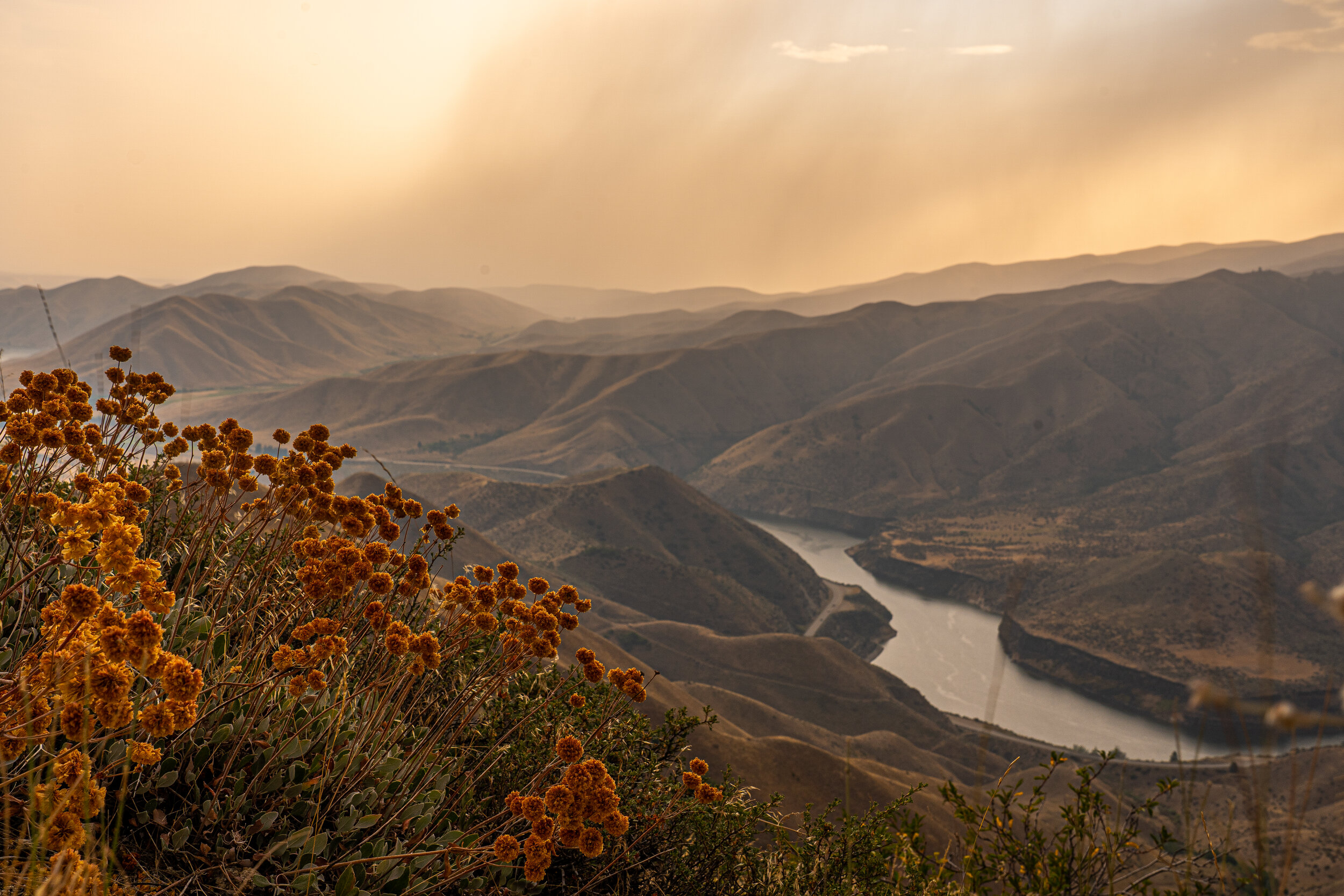
Only ten minutes from downtown Boise, Lucky Peak State Park is a lovely boating, swimming, fishing, and biking destination.

Almo, Idaho (pop. 158) was part of the Oregon Trail in which thousands of pioneers traveled to reach the west coast in the mid-1800s. According to some sources, the town is better known for having "The most deceitful historical marker in the United States." According to The Sons and Daughters of Idaho Pioneers, three hundred pioneers traveled along the trail in 1861 and were massacred by Indians. They erected this memorial in honor of their ancestors in 1938. The State Historical Society says this incident cannot be authenticated and recommends the removal of the marker. We were aware of the marker before we arrived in Almo and wanted to see it. We stopped in the all-in-one market/gas station/post office in town and inquired; the store owner let us know most assuredly the incident did occur and that the marker would not be removed...ever. Unknowingly, I was speaking with the author of a soon-to-be-published book that would outline the massacre events in detail.
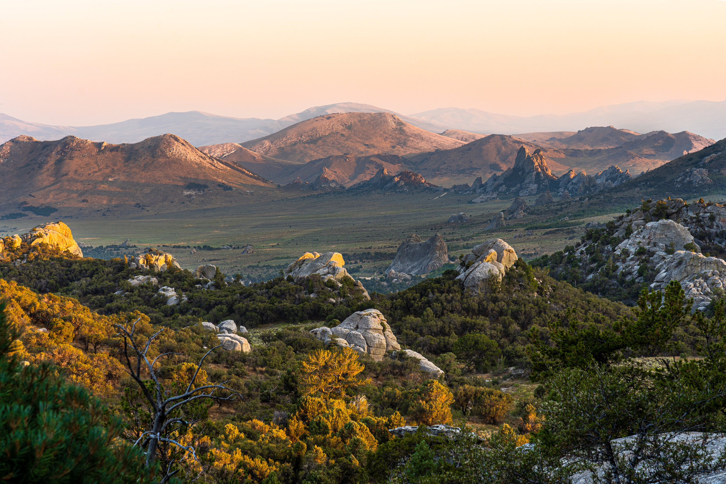
The City of Rocks National Reserve in Almo is located at the bottom of Idaho, two miles from Utah. This reserve is known for its most unusual rock formations and is popular with rock climbing enthusiasts. The California Trail, an off-shoot of the Oregon Trail, is pictured here; it was most assuredly a bumpy ride for the pioneers.
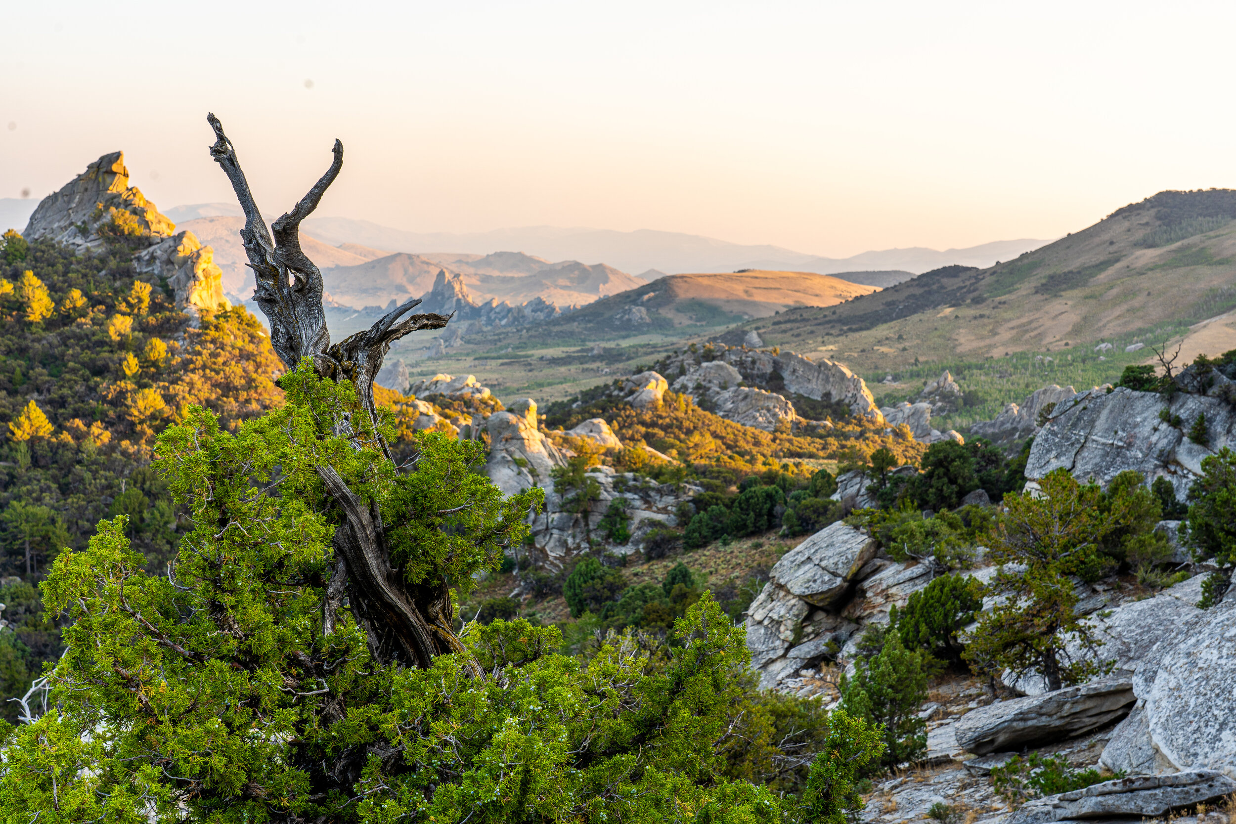
Emigrants of the California Trail describe the rocks here in vivid detail as "a city of tall spires,” “steeple rocks," and "the silent city."
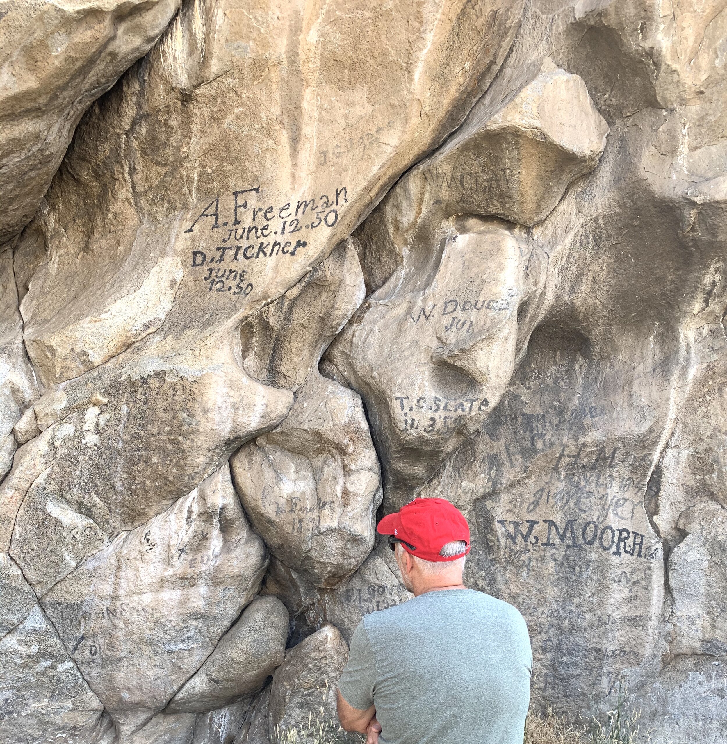
As thousands of pioneers traveled back and forth along the California Trail, they would "check-in" on some of the rocks. By signing their names and the date of their travels, they would commemorate their endeavor and let others know where they were. Many pioneers wrote home and told of seeing their neighbors' or friends' names on the rocks. Daniel Tickner traveled this trail three times from Illinois. The first time with his friend, A. Freeman on June 12, 1850, as inscribed above.
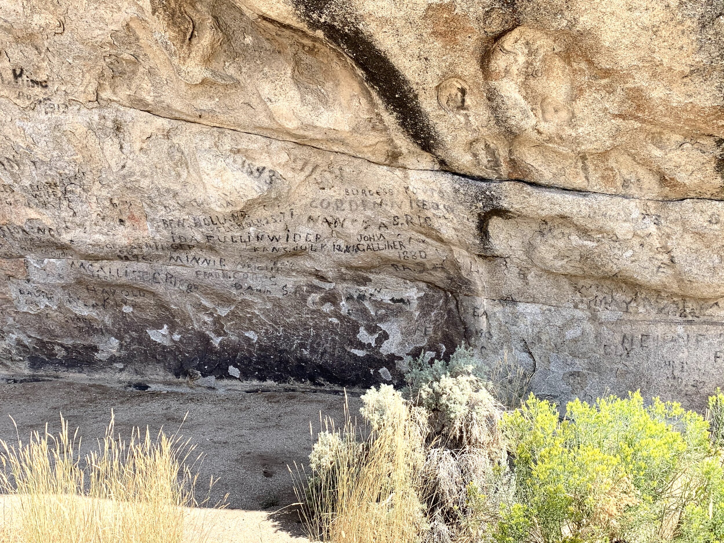
Register Rock was another popular site for communication. Much like social media is used, this was done to share they were here, that the place matters, and that their lives are connected to these places, people, and time. One pioneer wrote home in August 1852: "The rocks are covered as far us as one can reach or climb, with names of emigrants. We left ours with the date in a conspicuous place for the boys behind. We saw the names of some of our acquaintances who passed here two years ago."
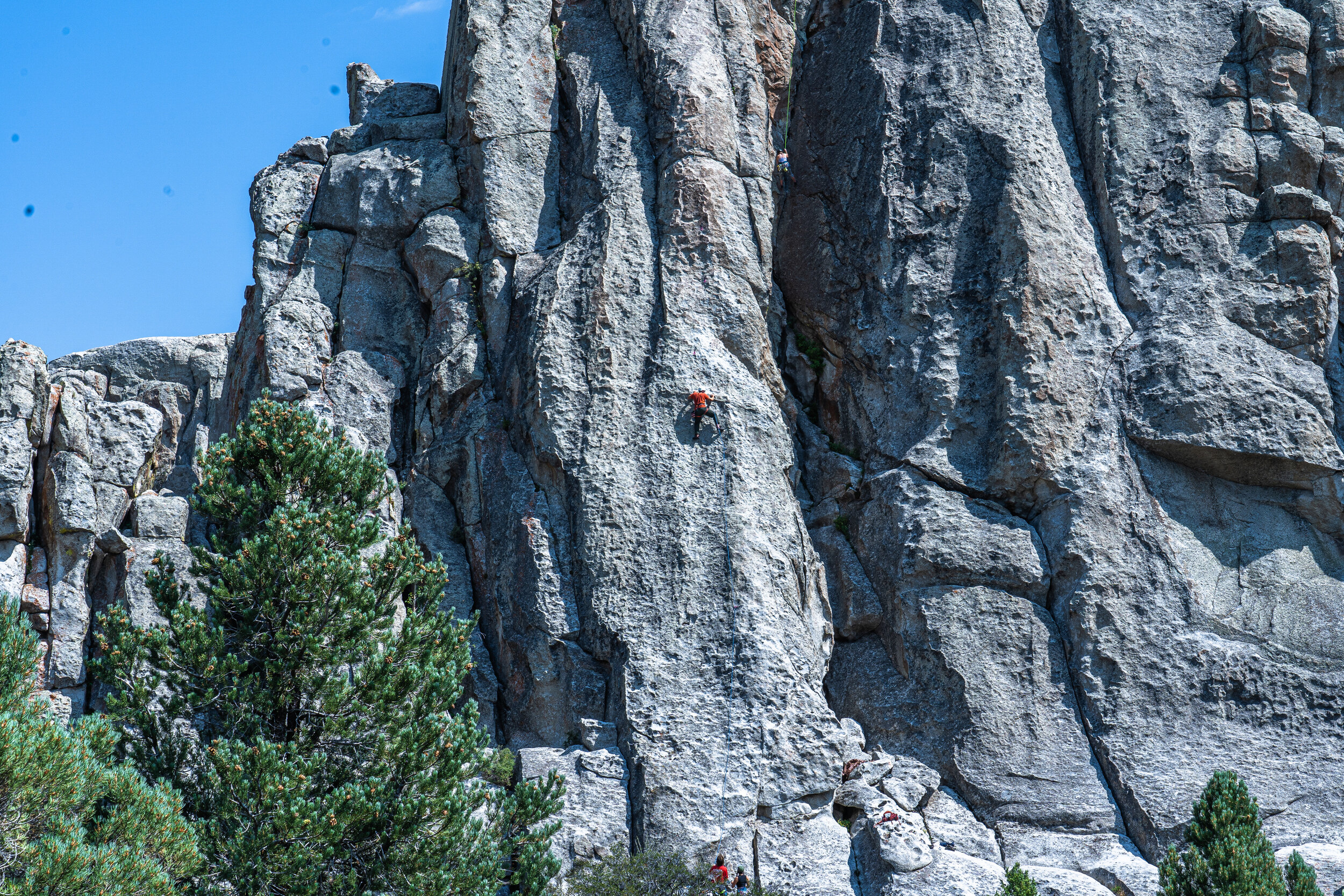
The rock climbers were also enjoying the day at City of Rocks.
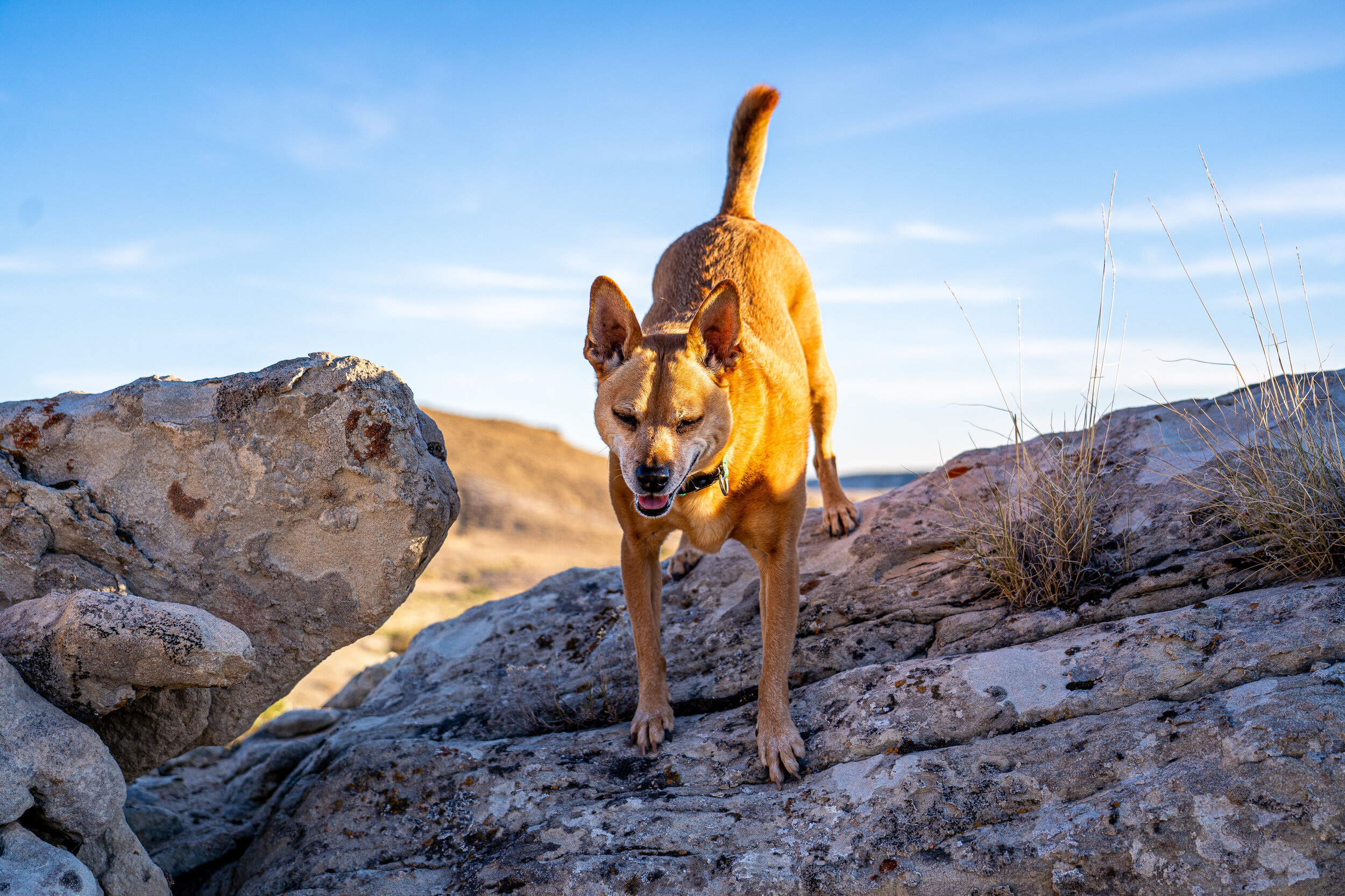
Clay did a little rock-climbing, too.
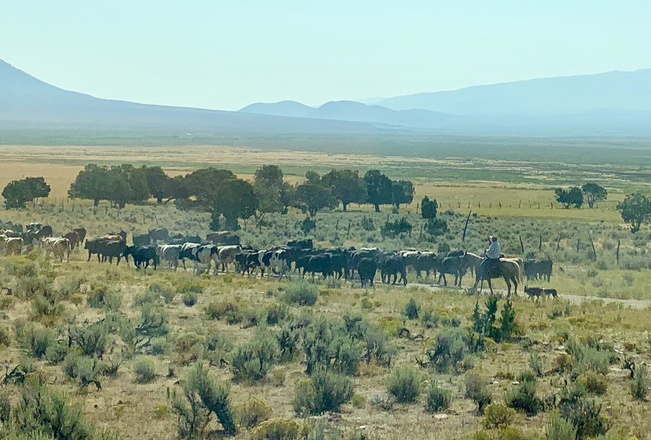
The morning we left Almo, Idaho, we saw farmers on horseback driving their cattle with the help of their farm dogs. We just wanted to share this picture in case you're like us, and have been in the city too long to realize some people still do this every day in America. 🤠

Not too far from Salt Lake City, Utah, we swam in Homestead Crater. The crater is a 55-foot, geothermal, beehive-shaped spring that stays around 90-95 degrees at all times. The hole at the top lets in light and fresh air. We didn't see this in our future, but it was a nice, impromptu experience. 😊
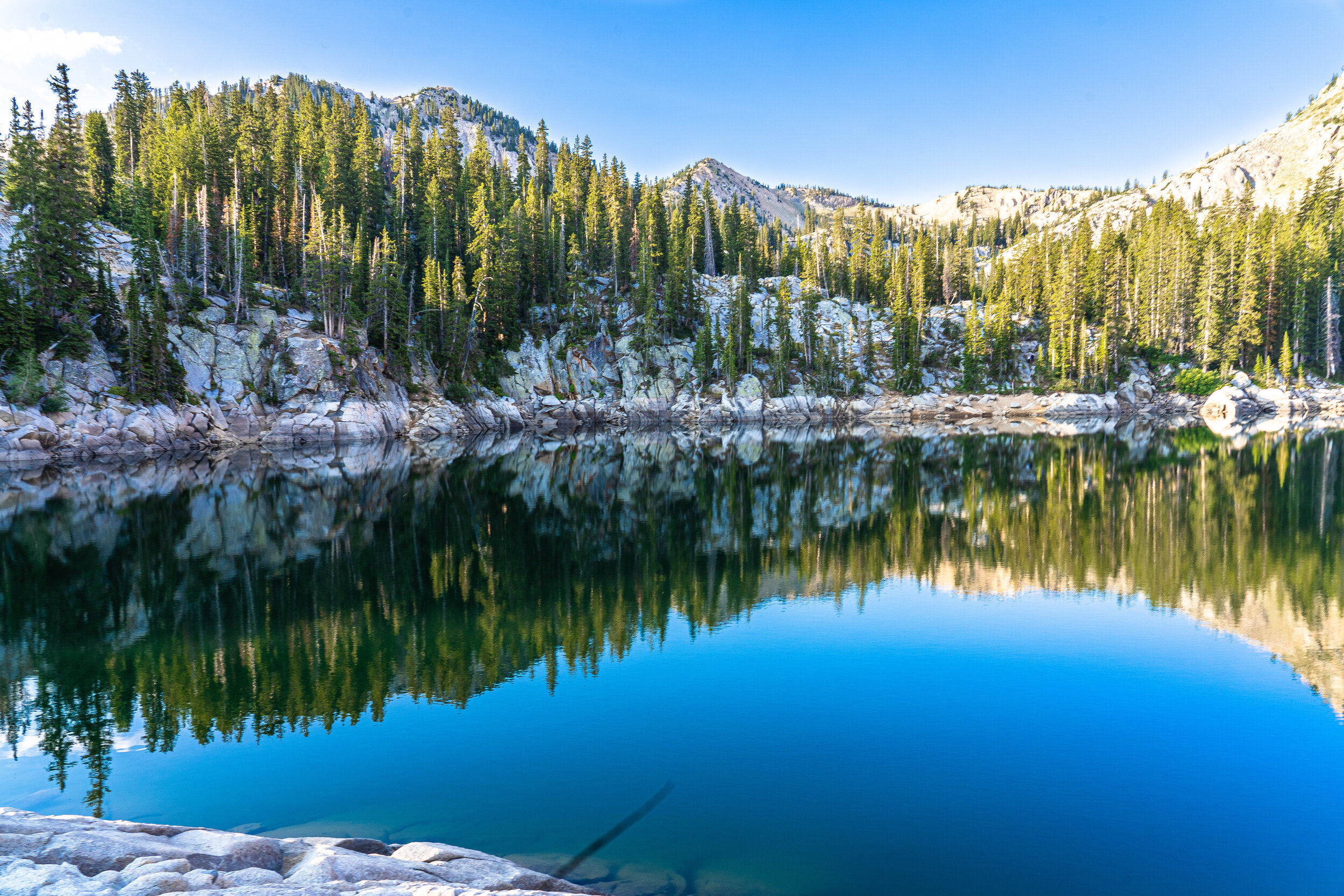
A scenic hiking trail in Brighton Ski Resort outside of Salt Lake City
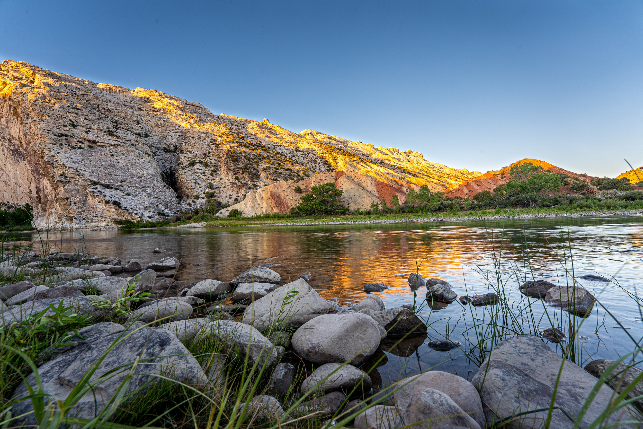
Dinosaur National Monument in Jensen, Utah, is a very out-of-the-way park but well worth the drive if you are interested in dinosaur fossils and history. This lovely and remote area is expansive and incredibly peaceful. We enjoyed our days and sunsets here.
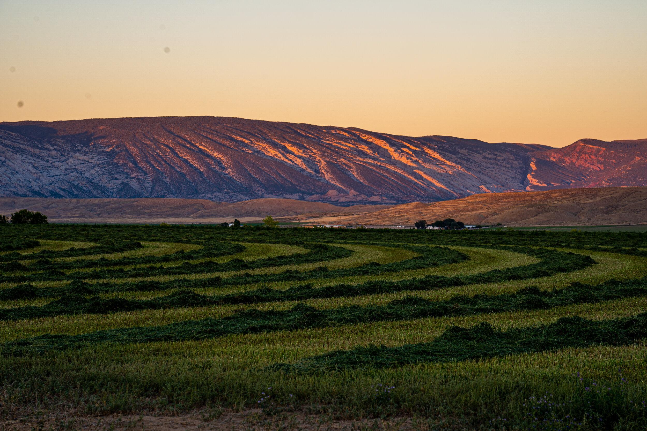
Beautiful farmland in Jensen, Utah

The Quarry Exhibit Hall in Dinosaur National Monument is a building made around dinosaur bones discovered, but never removed from the ground. The site is unusual because the bones are densely packed together and because this building was the dream of Earl Douglass, the anthropologist that found them over a hundred years ago.

It's believed that a large river once flowed through here. A prolonged drought brought many dinosaurs to the river. As the drought continued, many dinosaurs died near and in the dry river channel. When extensive rains returned, floods drowned some living dinosaurs and floods swept up carcasses of others that were already dead. The fast-flowing river carried the bones downstream along the river bottom. As the floodwaters receded, the river slowed. The bones dropped to the river bottom and began to pile up in this area. They were covered by sand and mud, resulting in the dinosaur logjam that we see now. Over time the sediments turned to rock, protecting the bones in a stone time capsule.
![In a letter to the Smithsonian Institute, Earl Douglass requested, "That the government, for the benefit of science and the people, will uncover a large area, leave the bones and skeletons [as they are] and house them in. It would make one of the](https://images.squarespace-cdn.com/content/v1/5e0e1dbadcd6625064420440/1603937579611-0TZ3HJJ7RN6XNYIE55QD/Adjustments.jpeg)
In a letter to the Smithsonian Institute, Earl Douglass requested, "That the government, for the benefit of science and the people, will uncover a large area, leave the bones and skeletons [as they are] and house them in. It would make one of the most astounding and instructive sights imaginable." I cannot help but be just as impressed by his vision for the generations to come as I am at the bones themselves.

Scattered in this section (and outside the range of this photo) are skeletal remains of an almost complete Stegosaurus individual. Decay, scavengers, and river currents probably helped to scatter the bones before they were covered with mud. Dozens of full dinosaurs were excavated and shipped from this area to museums all over the United States and Canada. Some of the first and biggest went to the Carnegie Museum in Pittsburg, PA, where Earl Douglass was employed.

Over 1000 years ago, Dinosaur National Monument was home to the Freemont Indians. It is believed they are responsible for the petroglyphs here. We saw many carvings of men, sheep, goats, and other recognizable figures. In particular, this one stuck out to us; it appears to be an alien figure (not matching all the other carvings of men) with a spaceship and rays of light shining down. We also saw "alien" petroglyphs elsewhere in Colorado. Our guide told us that it is not uncommon but is also not at all explained or understood.

Dinosaur, Colorado, is named for all the dinosaur fossils found in this area—and the town really embraces their name! 🐱🐉
