Rocky Mountain High in Colorado!
Hello, Friends!
Although currently at home, we still have plenty to share from our 2020 coast-to-coast RV journey. Perhaps after the holidays, you're back into your routines, and since many things are virtual now, we thought we'd invite you to the distraction of an online trip to Colorado! 🤠
We'll forewarn you now: This leg of the excursion contains a lot of rocks because, as it turns out, there's a lot of them out there! During this "rocky" part of our trip, we continued to realize when we slow down long enough to "stop and smell the roses," the unique facts and history we learn make each area more enchanting than we originally expected. We spent three serene weeks in the state whose motto translates to, “Nothing Without the Deity.” We hope you enjoy our casual snapshots and some of Craig's more reflective photos of the natural wonders that, as the motto indicates, wouldn't exist without the God that made it all possible.
Wishing you all a blessed and safe 2021!
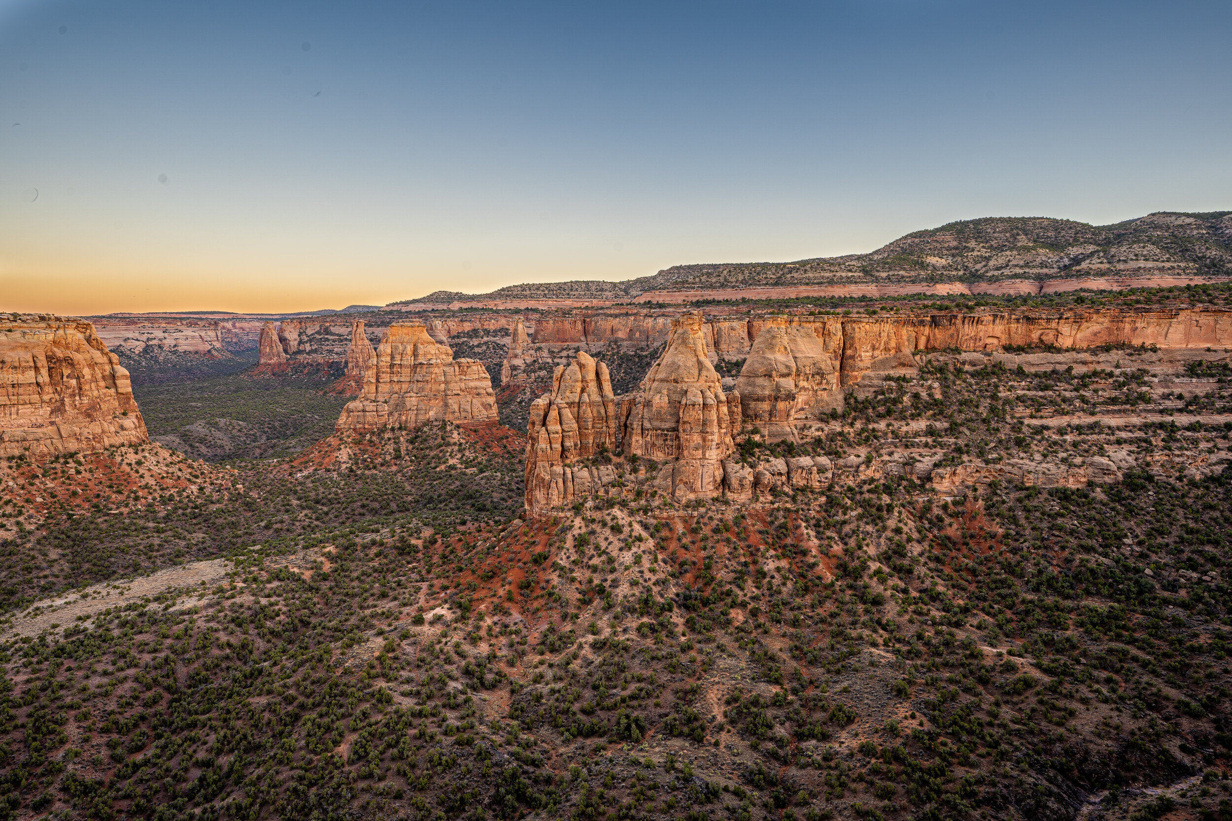
When John Otto, a self-professed trail builder, first saw these canyons in 1906, he decided it should be a national park and worked tirelessly to preserve the area for the generations to come. In 1911, President Taft made this area Colorado National Monument. John Otto was the park's first custodian and fondly referred to as the park's founder.
![Otto was described as “a marvelous guide [who] knew every inch of this monument, which he tended like a personal kingdom." Part of Otto’s kingdom was Independence Monument, the tall, freestanding rock in the right/center of this picture. Otto star](https://images.squarespace-cdn.com/content/v1/5e0e1dbadcd6625064420440/1611281286386-BYTCQORIMA2BD7EE62U6/DSC07955.jpg)
Otto was described as “a marvelous guide [who] knew every inch of this monument, which he tended like a personal kingdom." Part of Otto’s kingdom was Independence Monument, the tall, freestanding rock in the right/center of this picture. Otto started the tradition of climbing up and raising an American Flag atop the 450-foot monolith every July 4th. This tradition continues today by rock-climbers, with many following Otto’s exact course via Otto’s Route, to the top.
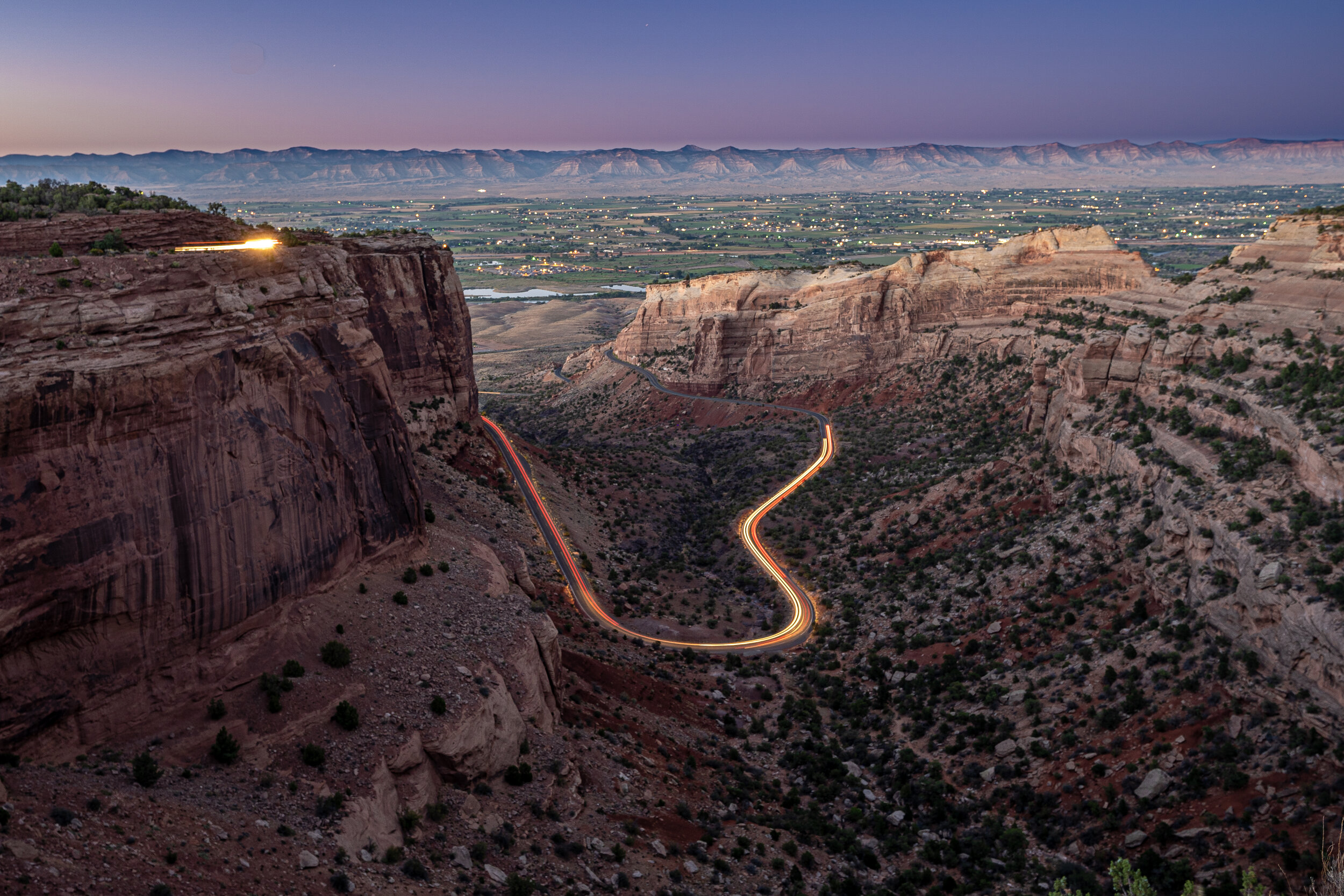
Otto wanted to give visitors a sense of being in a place "where only birds could fly." Thus, construction began in 1931 on Rim Rock Drive, a 23-mile roadway that showcases many park features and took 20 years to build with their heaviest equipment being horses. In recognition of its significance, the entire road has been designated a historic district on the National Register of Historic Places. Craig took this picture from the Fruita Canyon Overlook with slow shutter speed. This image contains the headlights of only three cars.
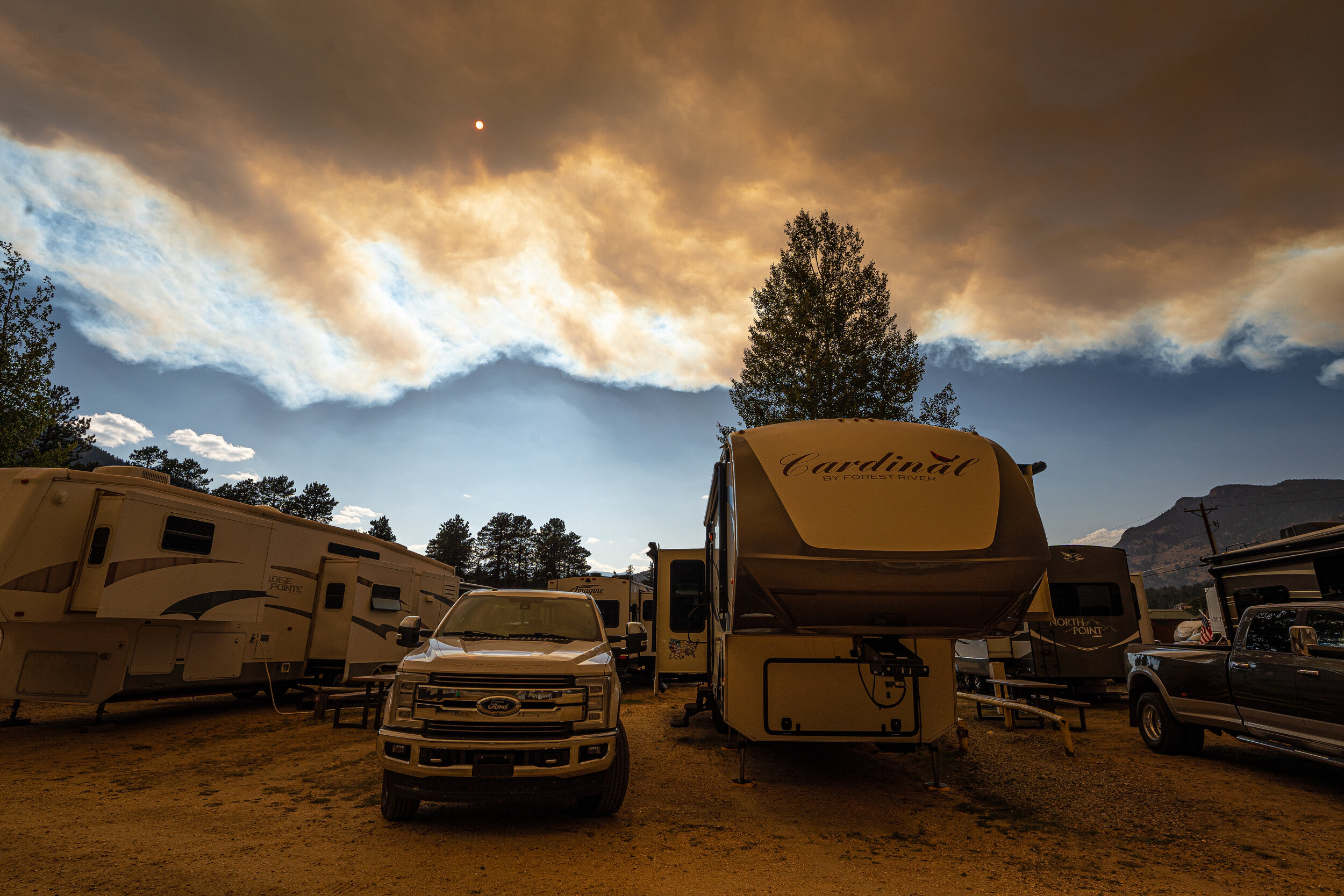
We arrived in Estes Park (300 miles northeast of Fruita) and learned Rocky Mountain National Park's main road was closed due to the growing Cameron Peak Fire. Twenty-five miles away, Cameron Peak had been burning for about three weeks. We later learned the fire, suspected to have been started at a campsite, burned for three more months and eventually covered more than 320 square miles, becoming Colorado's largest wildfire in recorded history.
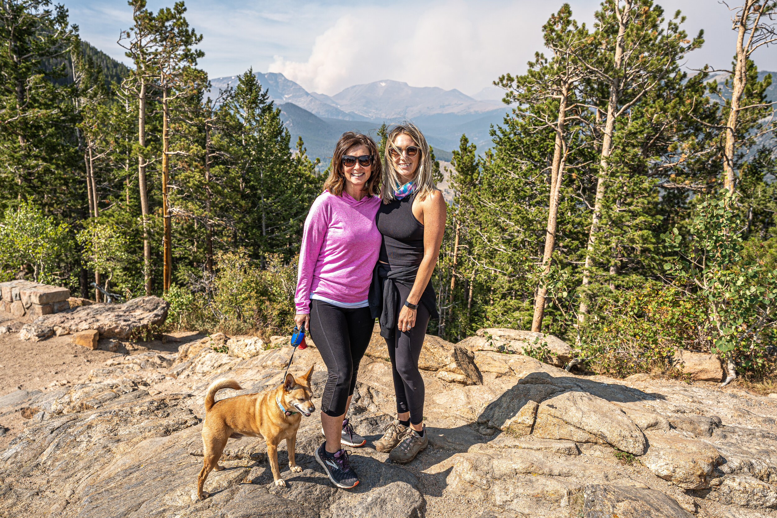
After getting settled into Estes Park, Rachel, our daughter-in-law, came to visit us for Labor Day weekend. What a treat! In this photo, you can see the Cameron Peak Fire smoke in the background.
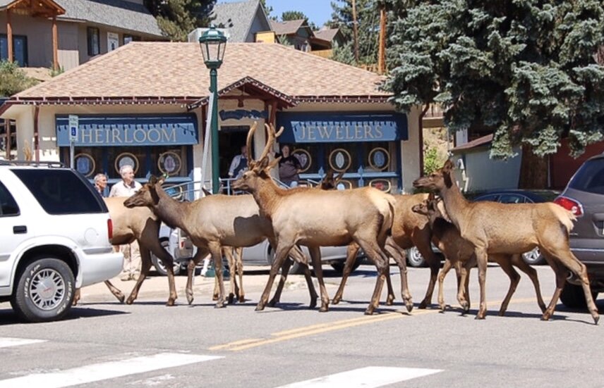
Elk in Estes Park are accustomed to people and are seen daily in town on the streets and sidewalks.
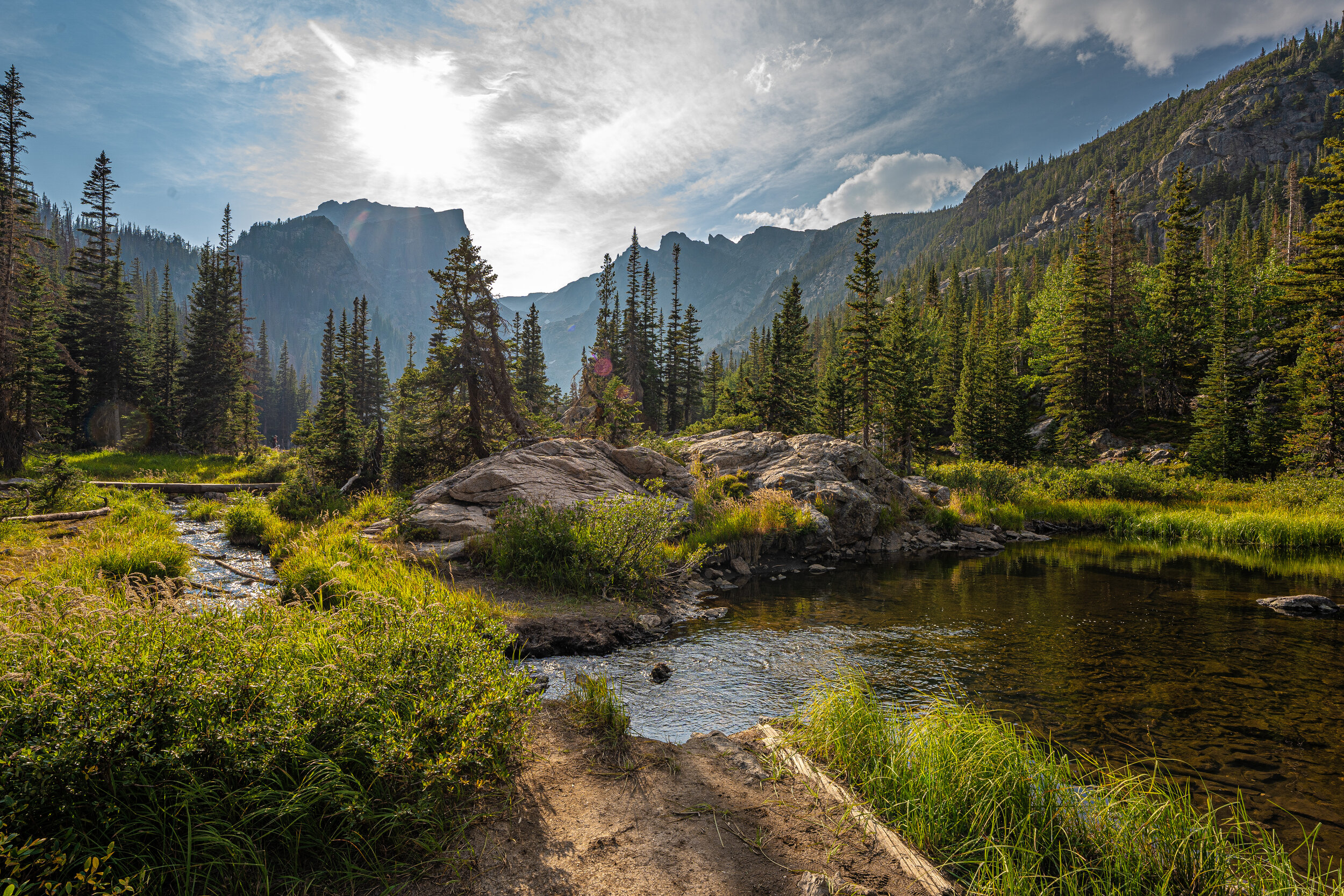
One of the many spectacular views along the Emerald Lake Trail in Rocky Mountain National Park.
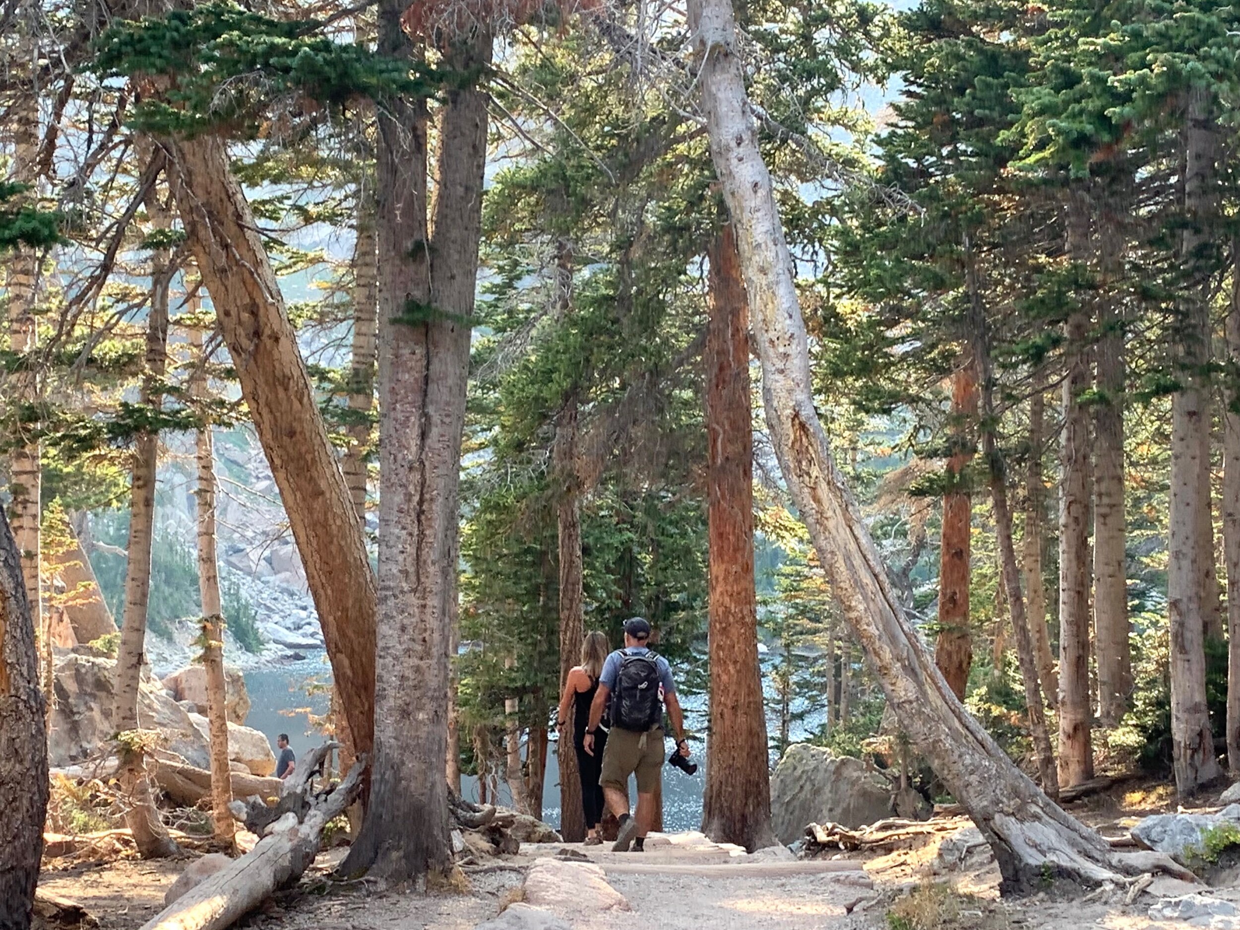
Rachel came to visit and to escape the seemingly endless, hot temperatures in Atlanta. This beautiful hike was on the only day that went according to our plans; the very next day was the freak Labor Day snowstorm!
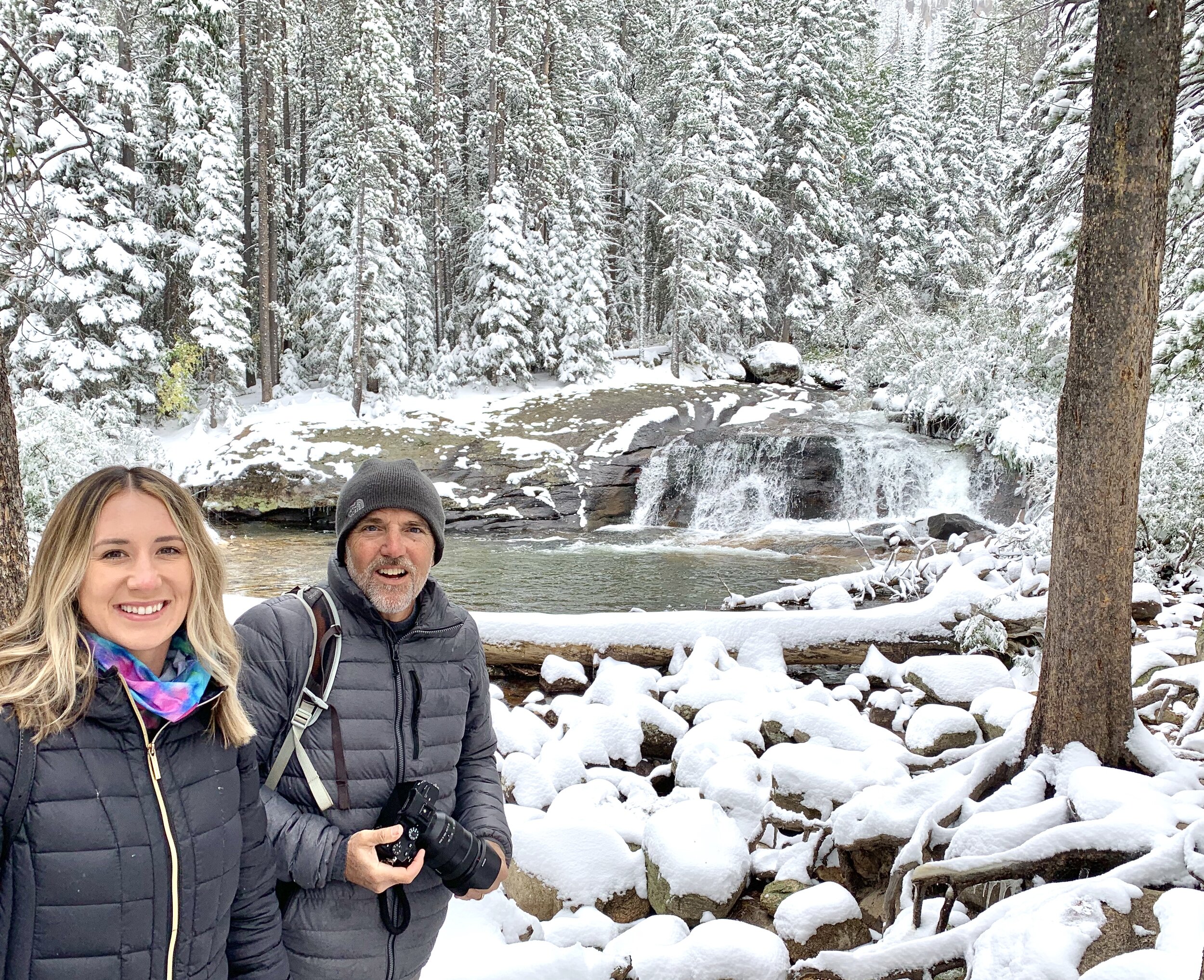
It was truly beautiful though and we didn’t let it slow us down!
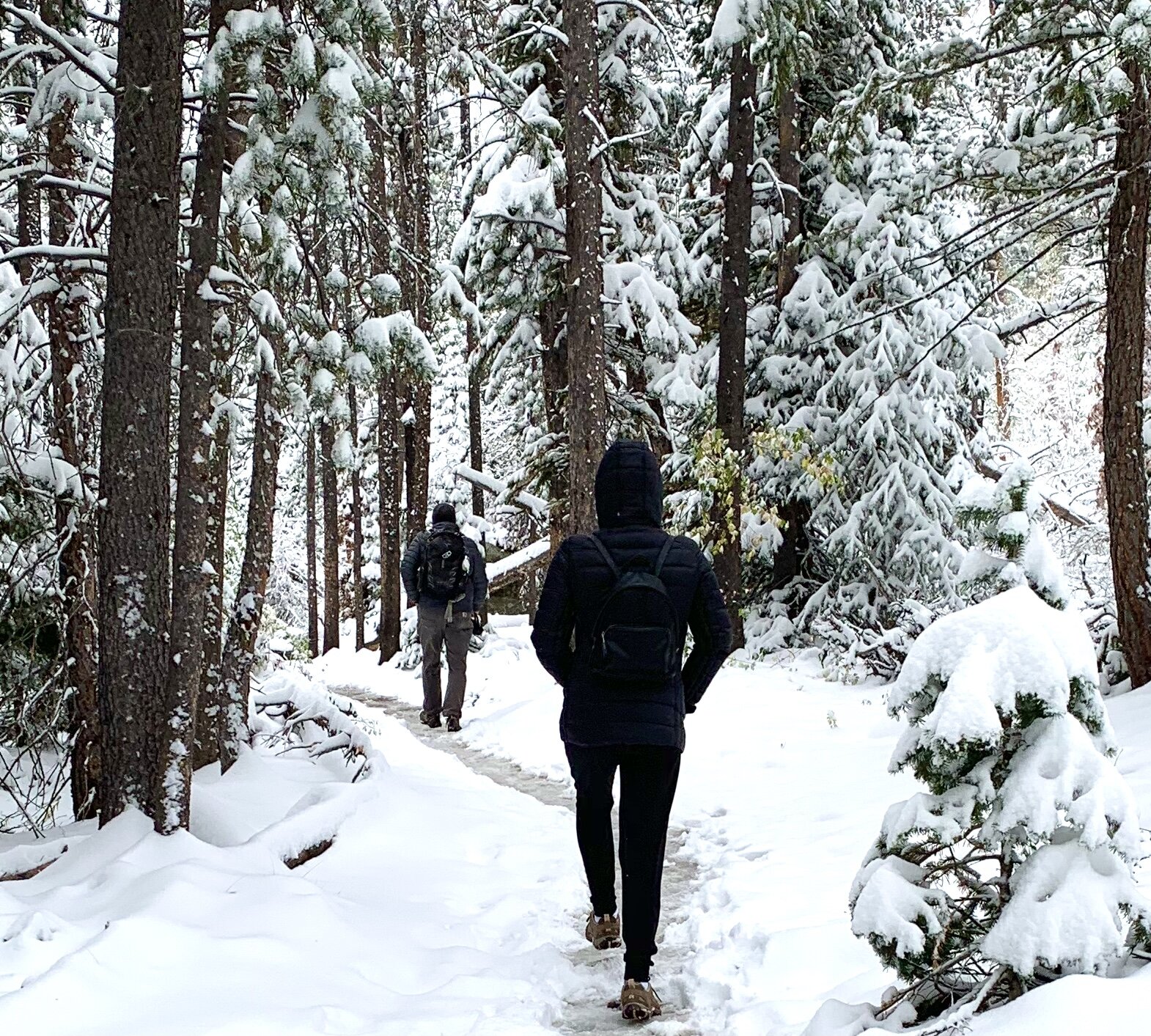
Unfortunately, the winter storm that preceded the 8-14-inch snowfall caused temperatures in the Cameron Peak area to drop from the upper 80s to the low 20s, with wind gusts of 50+ miles per hour. The winds pushed the fire eastward toward Estes Park, burning another 70,000 acres in two days.
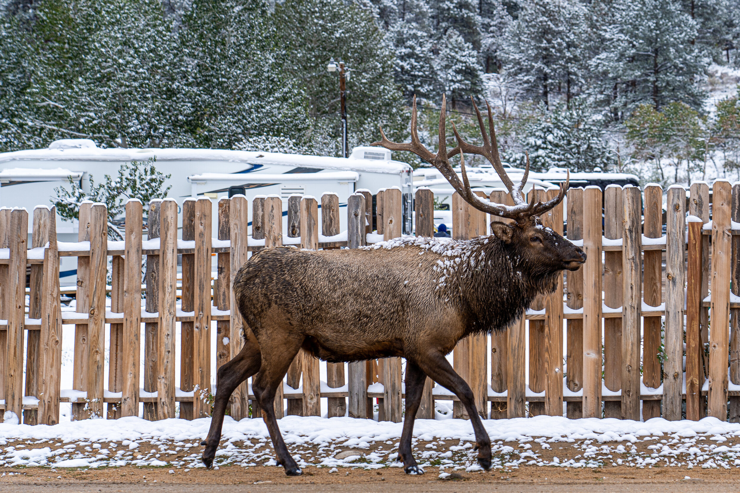
Colorado officials say the elk of Estes Park were pushed to lower elevations as the fire expanded, but only to places they would have migrated to anyway. Their trip was just a little earlier than normal. This elk was strolling through our campsite. 😃
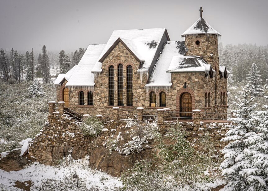
Saint Catherine's Chapel on the Rock in Allenspark, near Estes Park, is a functioning Catholic chapel and tourist landmark open to the public. The beautiful church was built in 1936.
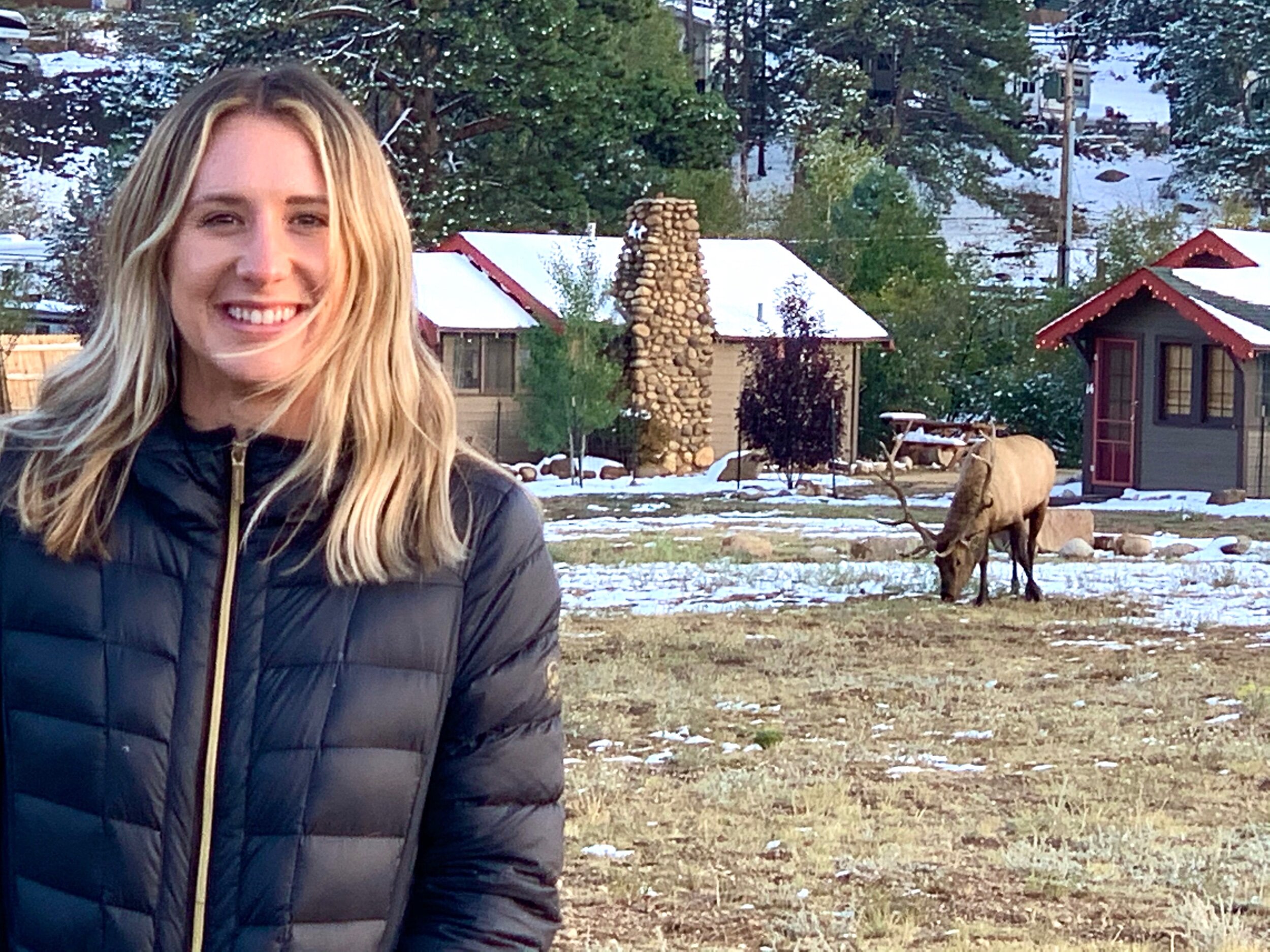
Rachel gets a picture with an elk as we wait to be seated at a restaurant. 🦌
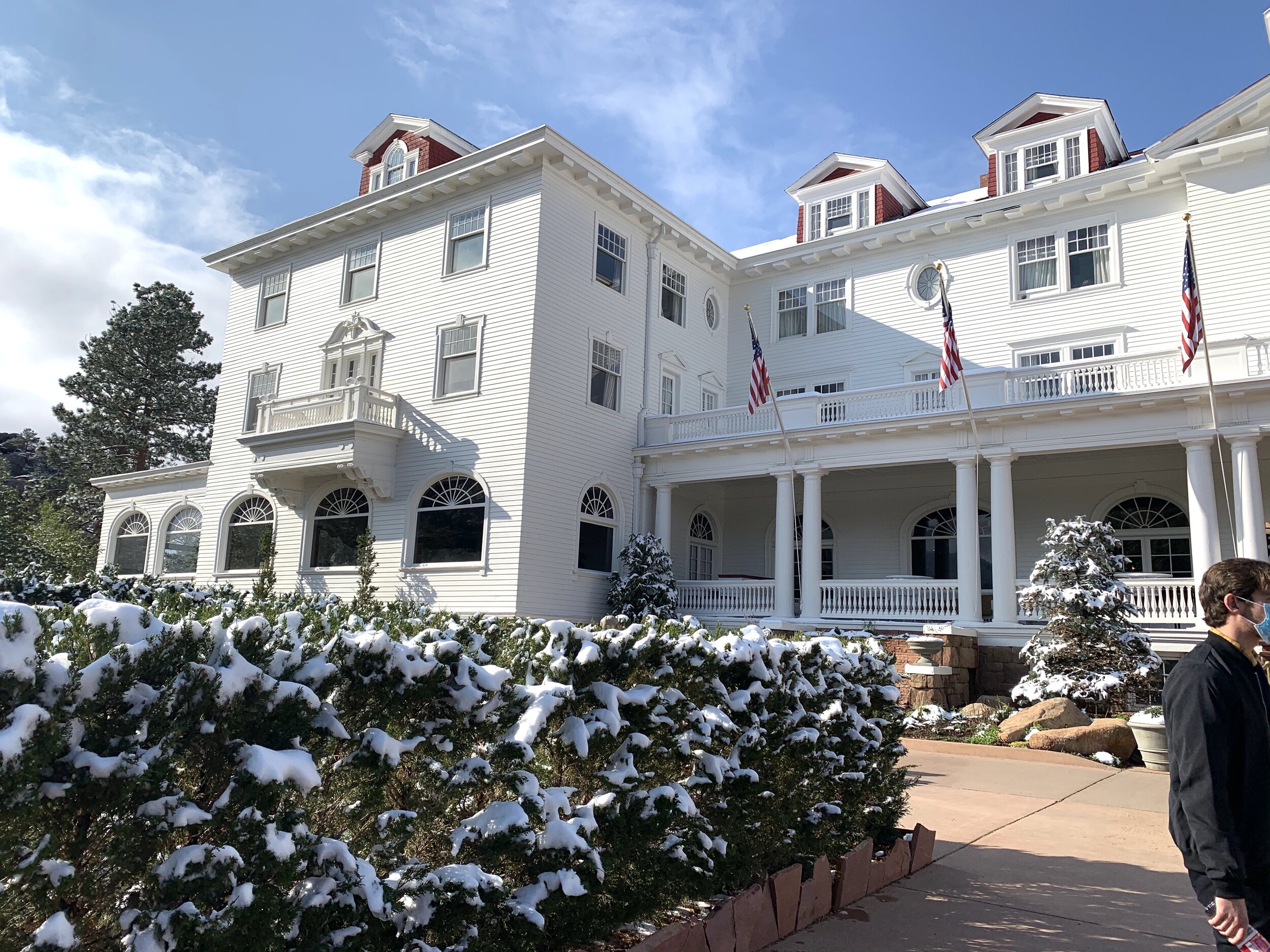
We took an interesting tour of the Stanley Hotel. It was here, one fateful night, that Steven King passed through Estes Park and stopped to rent a room at this tattered and spooky hotel. One remaining suite that had not been winterized for the season was available and rented to King. Having minimal success as a writer, this old vacant hotel in the snowy mountains gave him the inspiration he needed to write The Shining. The balcony shown on the hotel's front is the infamous Room 217, where he and his wife lodged during their stay, and that is also featured in his legendary tale.

The Stanley Hotel, built by Freelan Oscar Stanley, in 1909, was built as a personal mountain retreat and playground for the wealthy. He made his fortune in photography, (eventually selling his company to George Eastman, of Eastman Kodak) but was better known for being a co-inventor of the Stanley Motor Carriage Company. His cars, referred to as Stanley Steamers, were distributed to his guests upon arrival to enjoy mountain drives. Known to be a jokester, Stanley enjoyed "punking" his friends by having a man dressed in a bear costume jump out into the roadway as the visiting drivers approached. Stanley would then "shoot" the "bear" with a fake gun and enjoy the laugh! Today, the connection to The Shining seems to overshadow much of Stanley's legacy. This may be just as well since the hotel's Hollywood connection converted the run-down and creepy guesthouse back to its thriving 1900s glory.
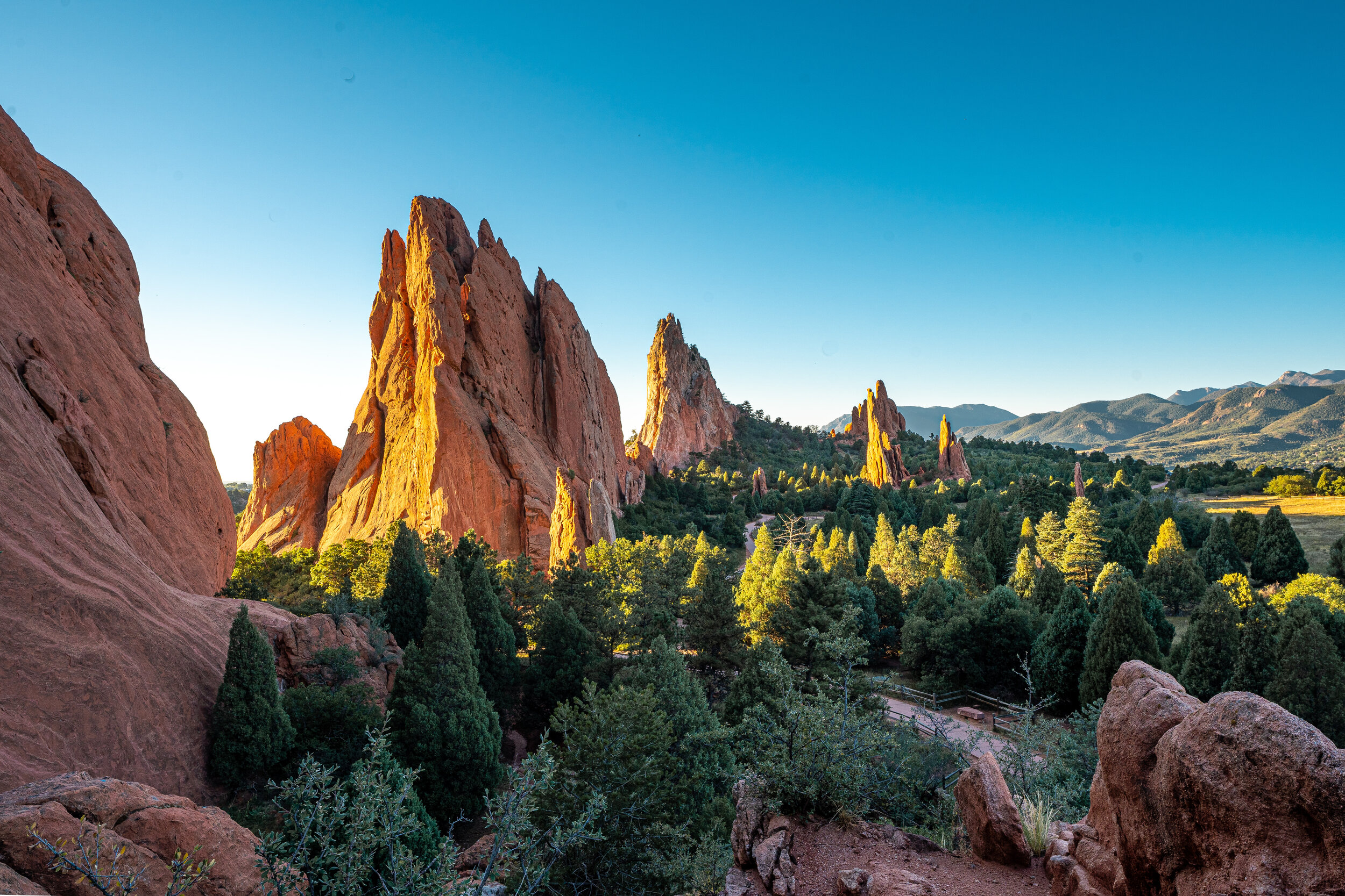
Garden of the Gods Visitor and Nature Center in Colorado Springs. These beautiful sandstone formations were so named in 1859 when discovered by two Denver City surveyors. M.S. Beach, who told of their discovery, said he thought it would be an epic place for a beer garden. 🍺 According to Beach, "Rufus Cable, his co-worker, exclaimed, "Beer Garden?! Why it is a fit place for the gods to assemble! We will call it the Garden of the Gods!"...and it has been called so ever since.
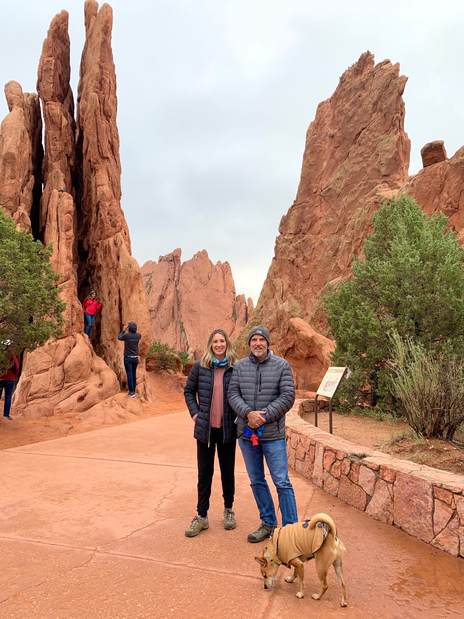
Charles Perkins purchased 240 acres of the area in 1879 to build a summer home. He later bought additional surrounding property but never built on it, preferring to keep this wonderland in its natural state. Perkins died before making arrangements for the land to become a public park, although it had been open to the public for years. In 1907, Perkins' children, knowing their father's wishes for the Garden of the Gods, gave his 480 acres to the City of Colorado Springs with a decree that, "It shall remain free to the public, where no intoxicating liquors shall be manufactured, sold, or dispensed, where no building or structure shall be erected except those necessary to properly care for, protect, and maintain the area as a public park." Well…looks like it won't be a beer garden anytime soon. 🍻😂
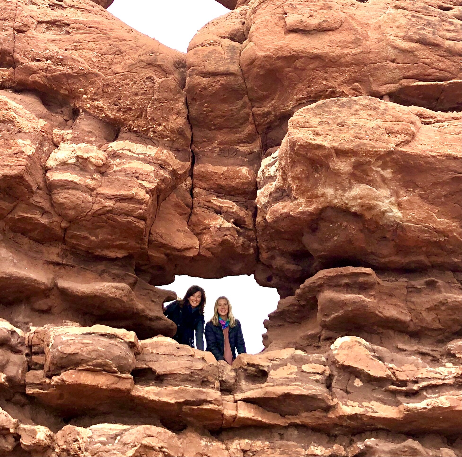
More fun at Garden of the Gods.
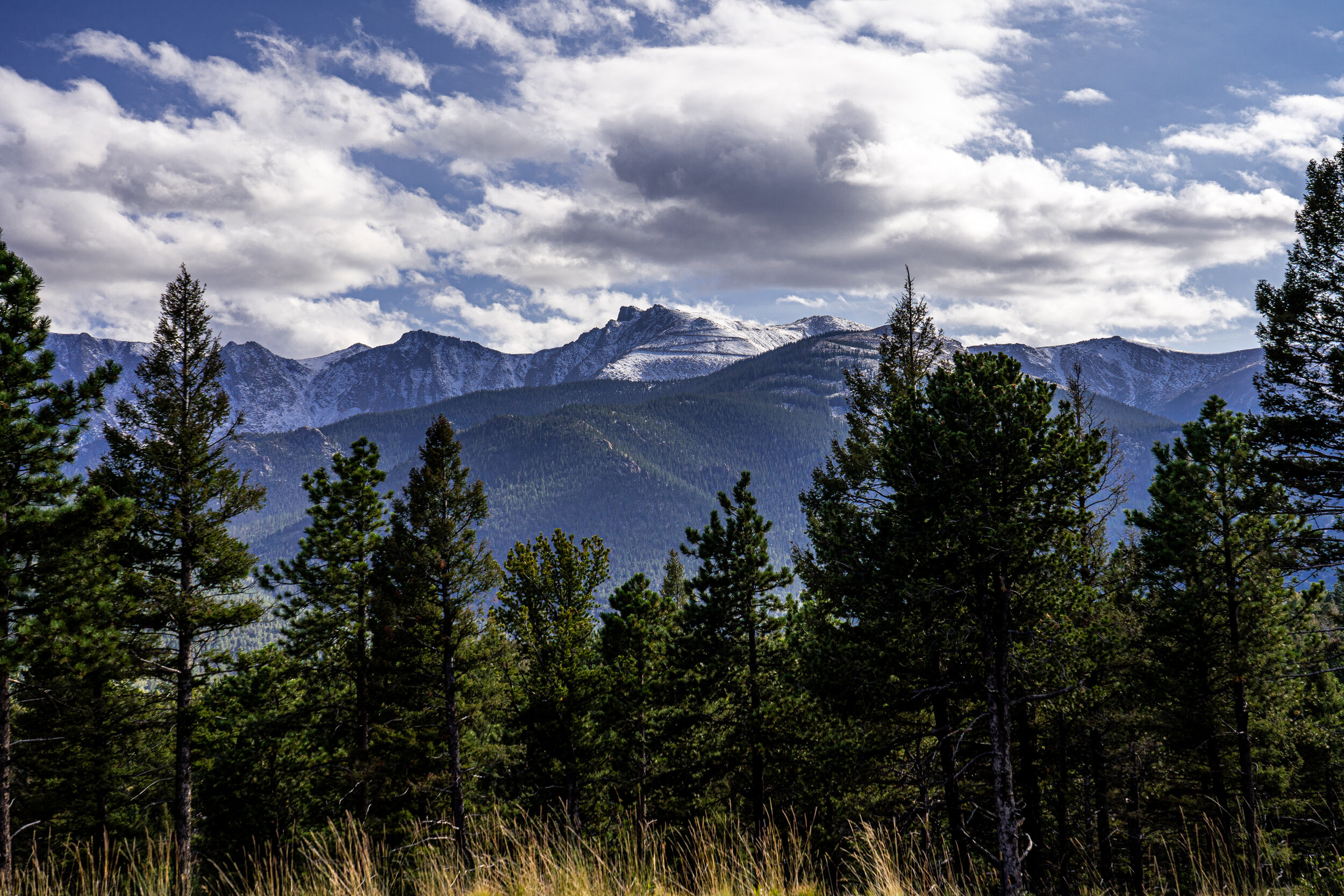
There she is! Pikes Peak in the center background with the highway zig-zagging to the top.
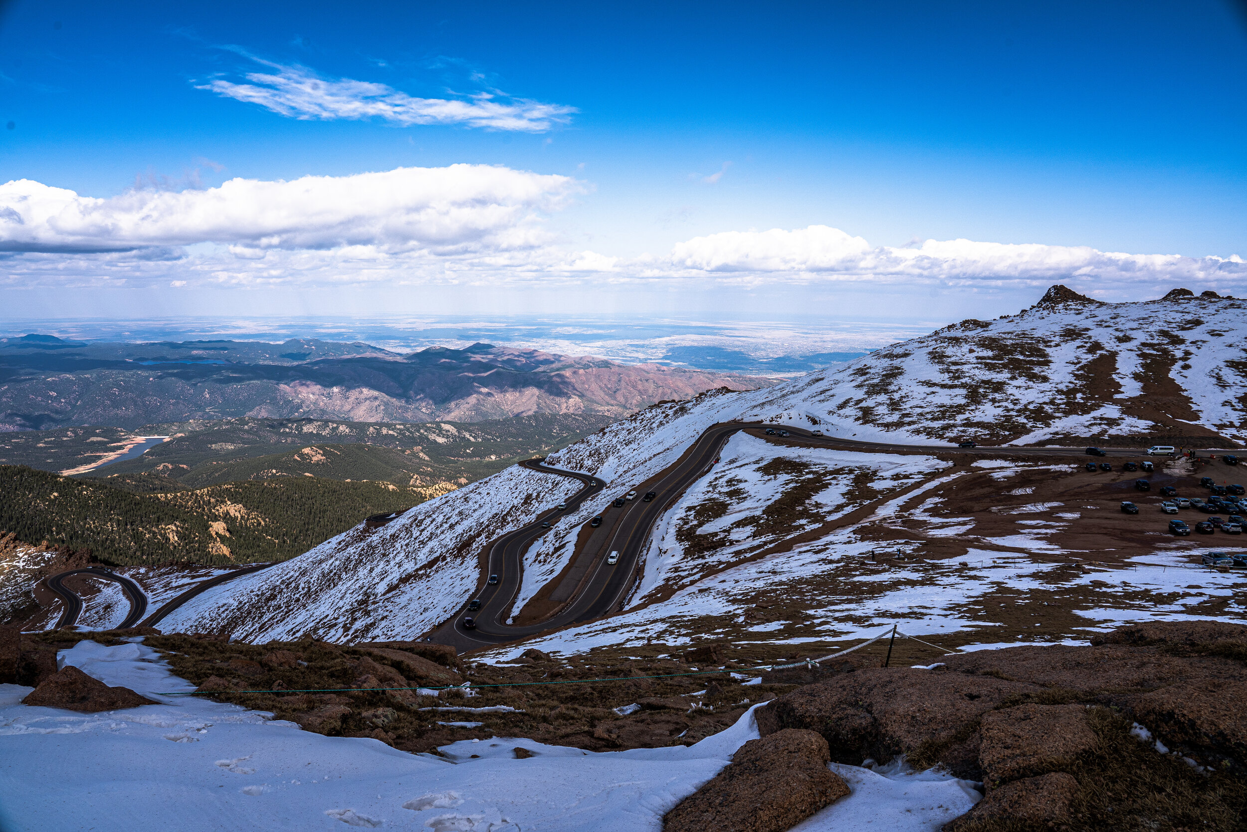
Pikes Peak in Colorado Springs is famous because it’s one of the more accessible “14-ers,” (14,115-foot elevation) in Colorado due to its location, and because it can be reached by car along the 19-mile paved highway.
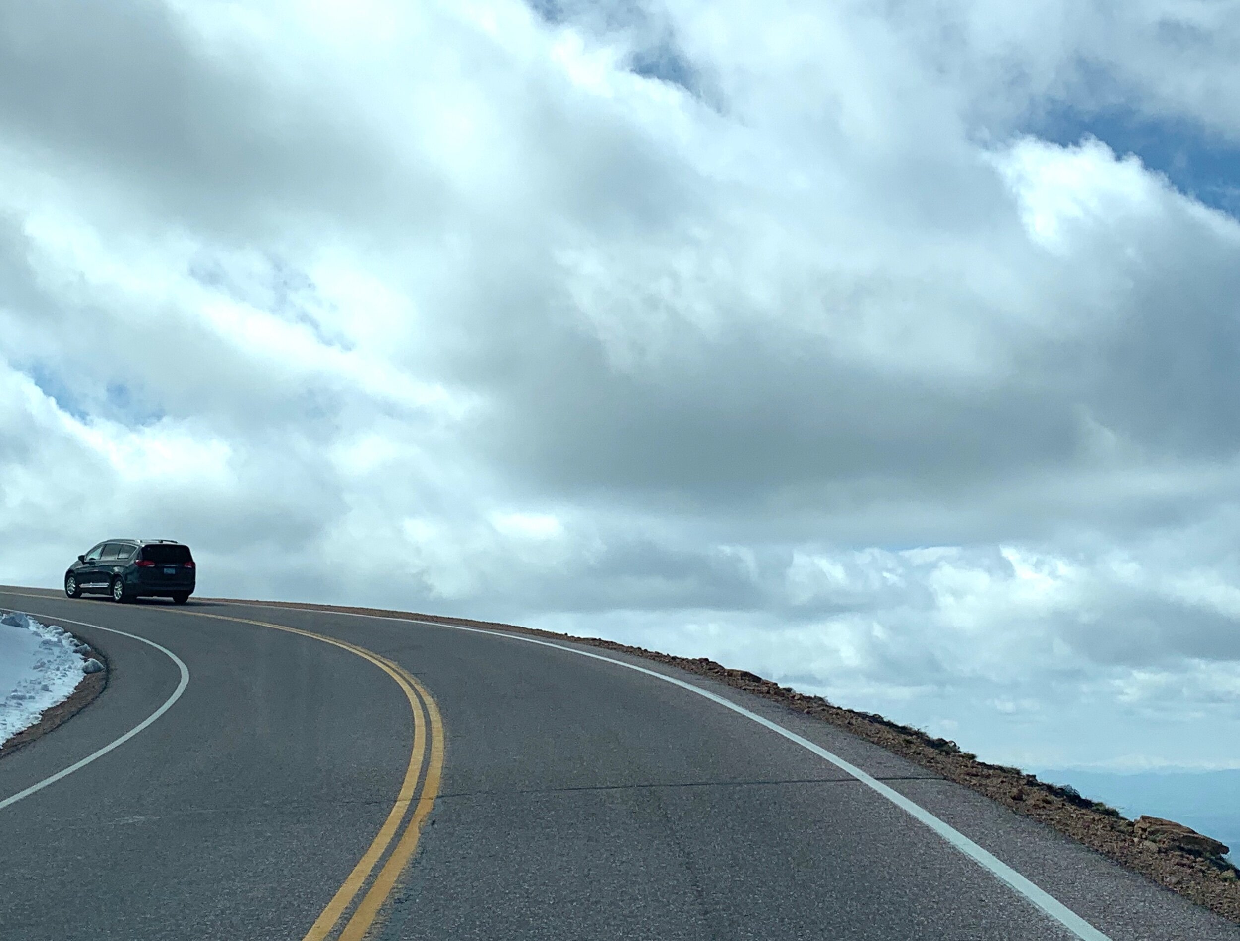
Although it’s “easy” to drive, Pikes Peak Highway Drive is still a little precarious at times for a nervous rider like me.
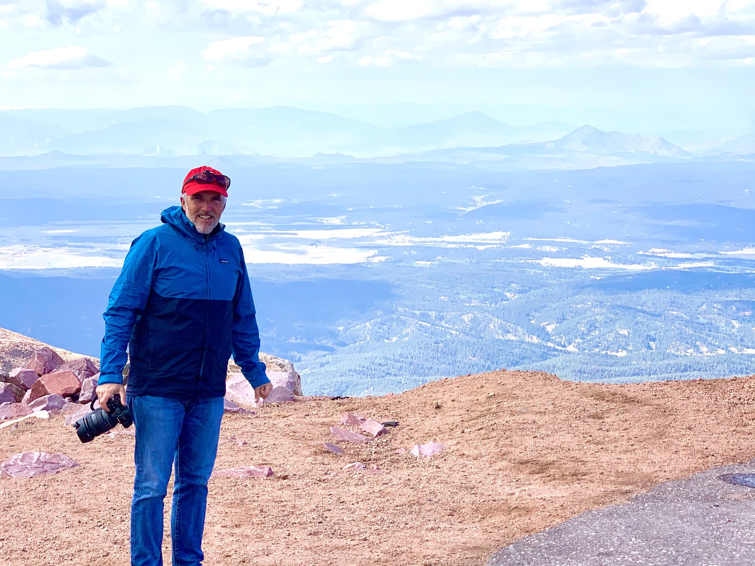
With the wind chill factor, it was 12 degrees at the top of Pikes Peak that day. Somehow we missed this forecast when preparing for our visit, and only had light jackets with us. Craig got out to take a few pictures but didn’t stay long. ⛄
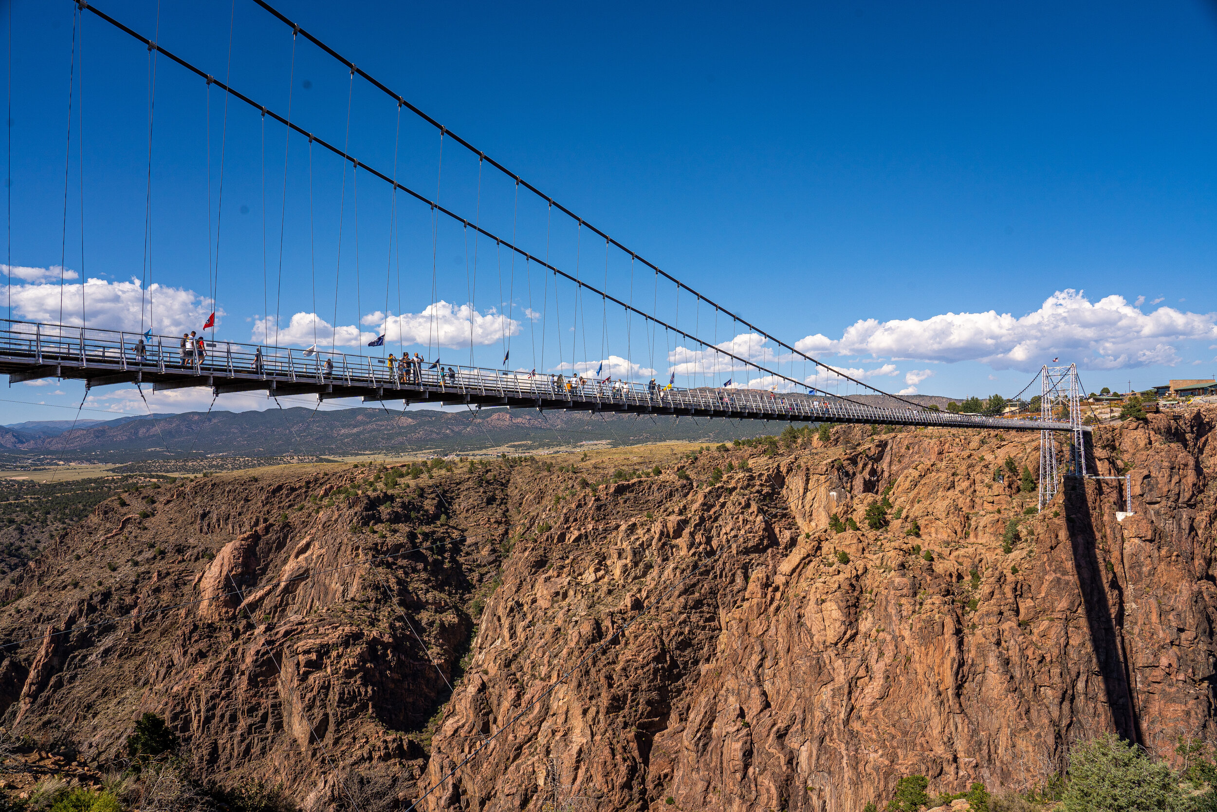
Royal Gorge Bridge and Park in Cañon City is home to the highest suspension bridge in America. Built in 1929 by 80 men, in only 7 months, the bridge is a wonder in itself, in addition to towering nearly 1,000 feet over the Arkansas River.
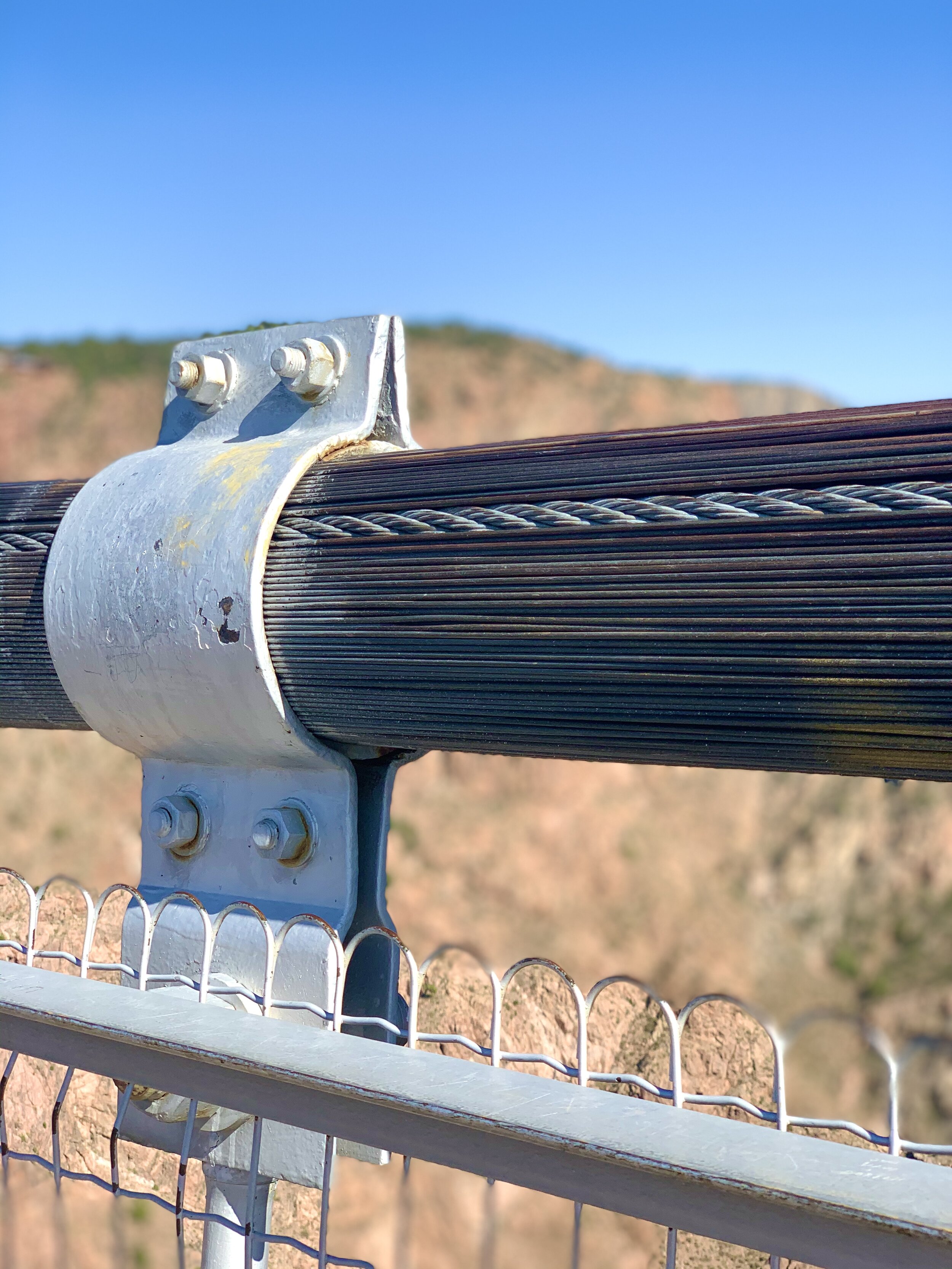
Royal Gorge Bridge is 1,260 feet long and 18’ wide. There are 2,100 strands of galvanized wire in the 300 tons of cables suspending the bridge, 1,000 tons of steel in the bridge floor, and the weight capacity of the bridge is over 2 million pounds! Today the bridge is affectionately called “America’s Bridge” in tribute to the solid bridge and the remarkable men who built it.
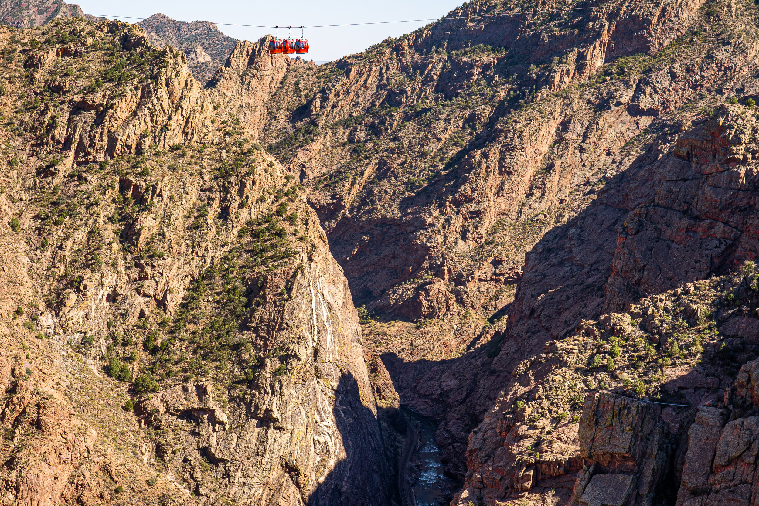
A fire that caused only minimal damage to the bridge's wood plank floor destroyed the entire Royal Gorge park and amusement area in 2012. Fourteen months later, the park reopened with many new features, including this gondola (at the very top of the photo) that transports visitors over the enormous, 956-foot gorge. In this photo, you can see the Arkansas River far below.
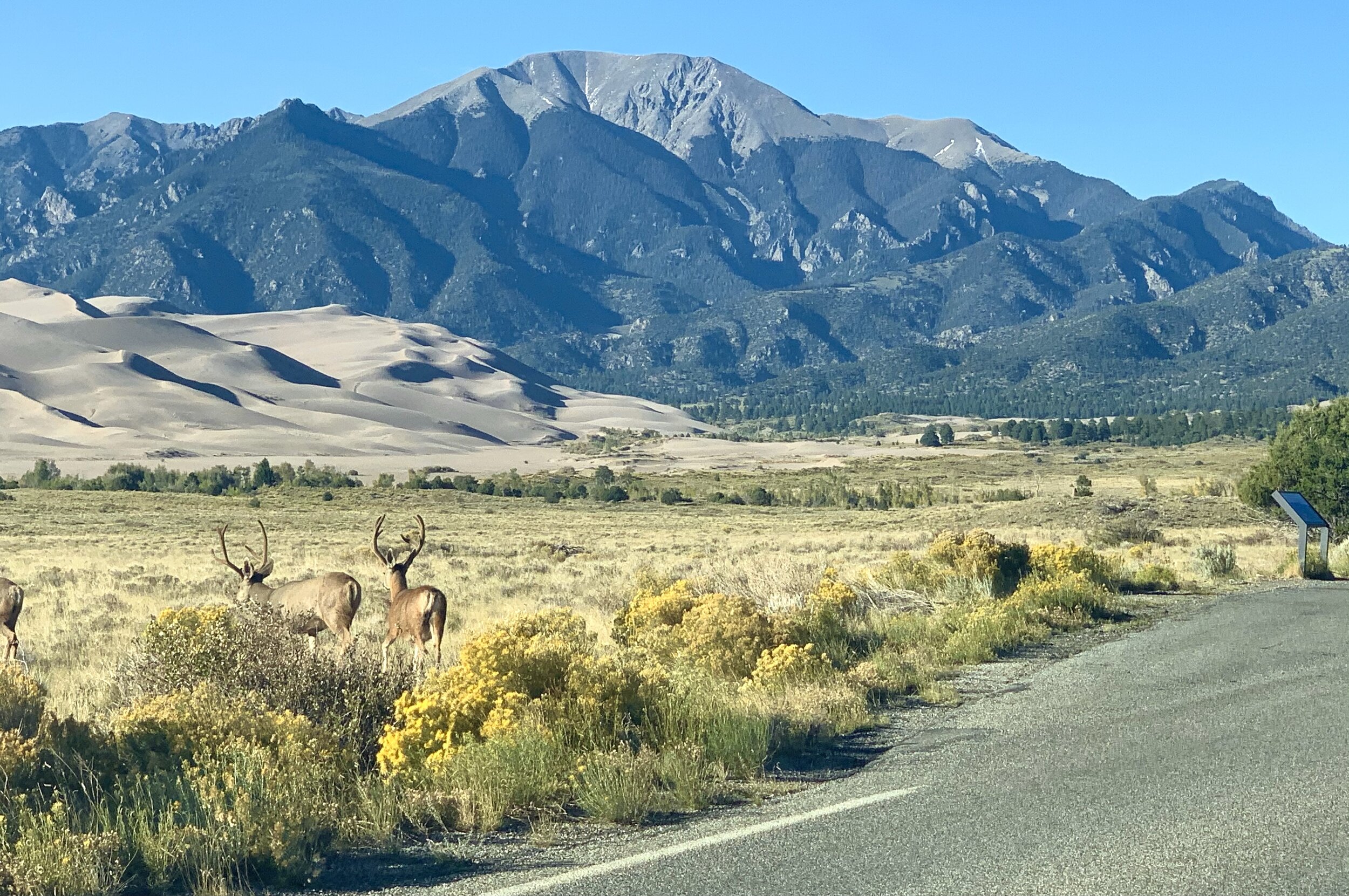
Over 30 square miles of sand dunes appear as a “sea of sand” at what is now Great Sand Dunes National Park. These unique dunes are created by the continuous work of water and wind moving sand, where there were once lakes. These dunes continue to grow as sand erodes from surrounding mountains and is stacked up by wind and water. This process, ongoing for thousands of years, has caused the tiny fragments of rock to add up to what is now the largest area of sand dunes in North America.
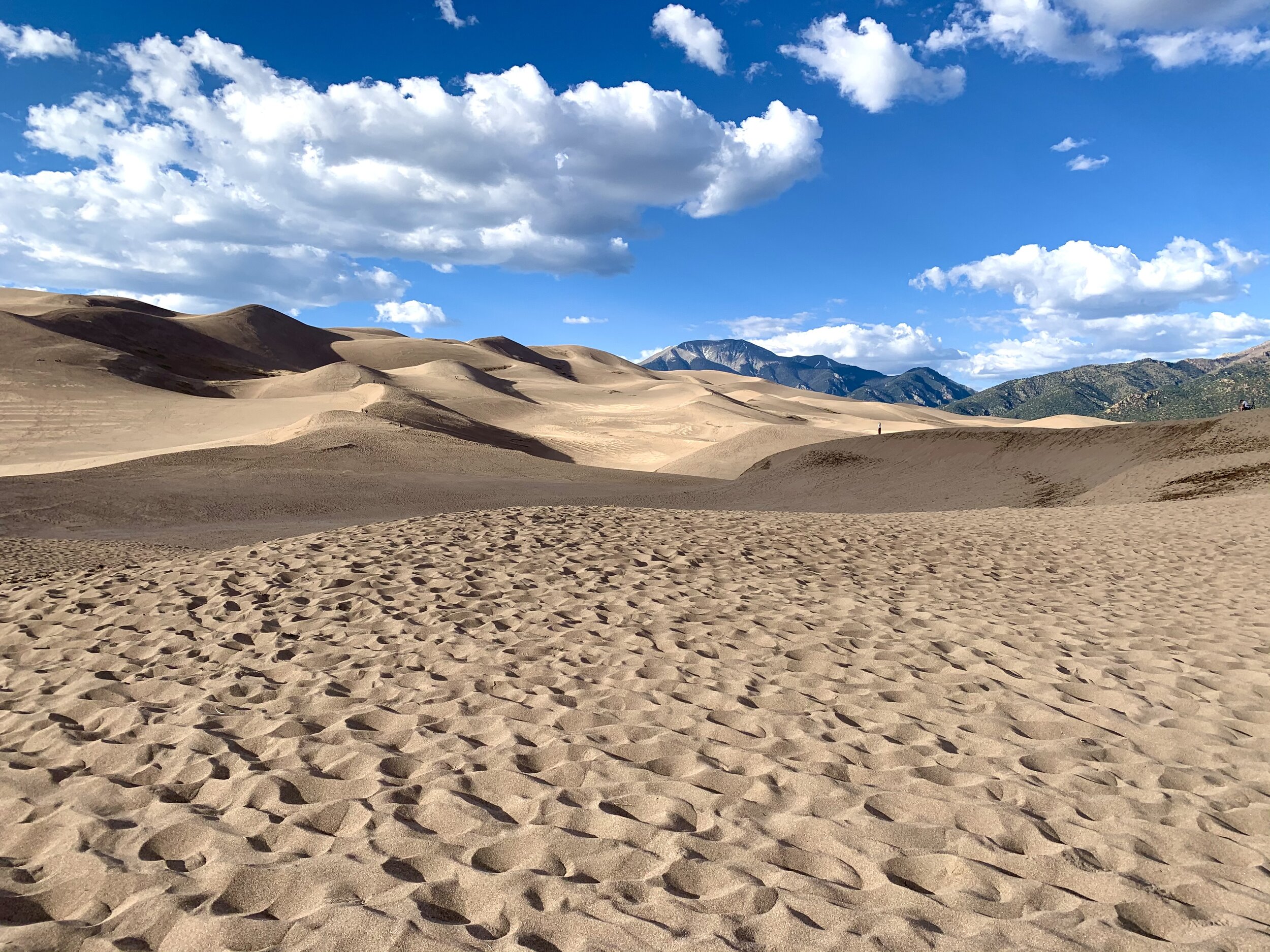
I’m not sure our photos convey the eerieness of this unusual place. These dunes resemble an alien landscape so much that NASA uses the geological conditions to test rovers. The two Viking spacecraft that first landed on Mars were tested in the extreme environment of these dunes.
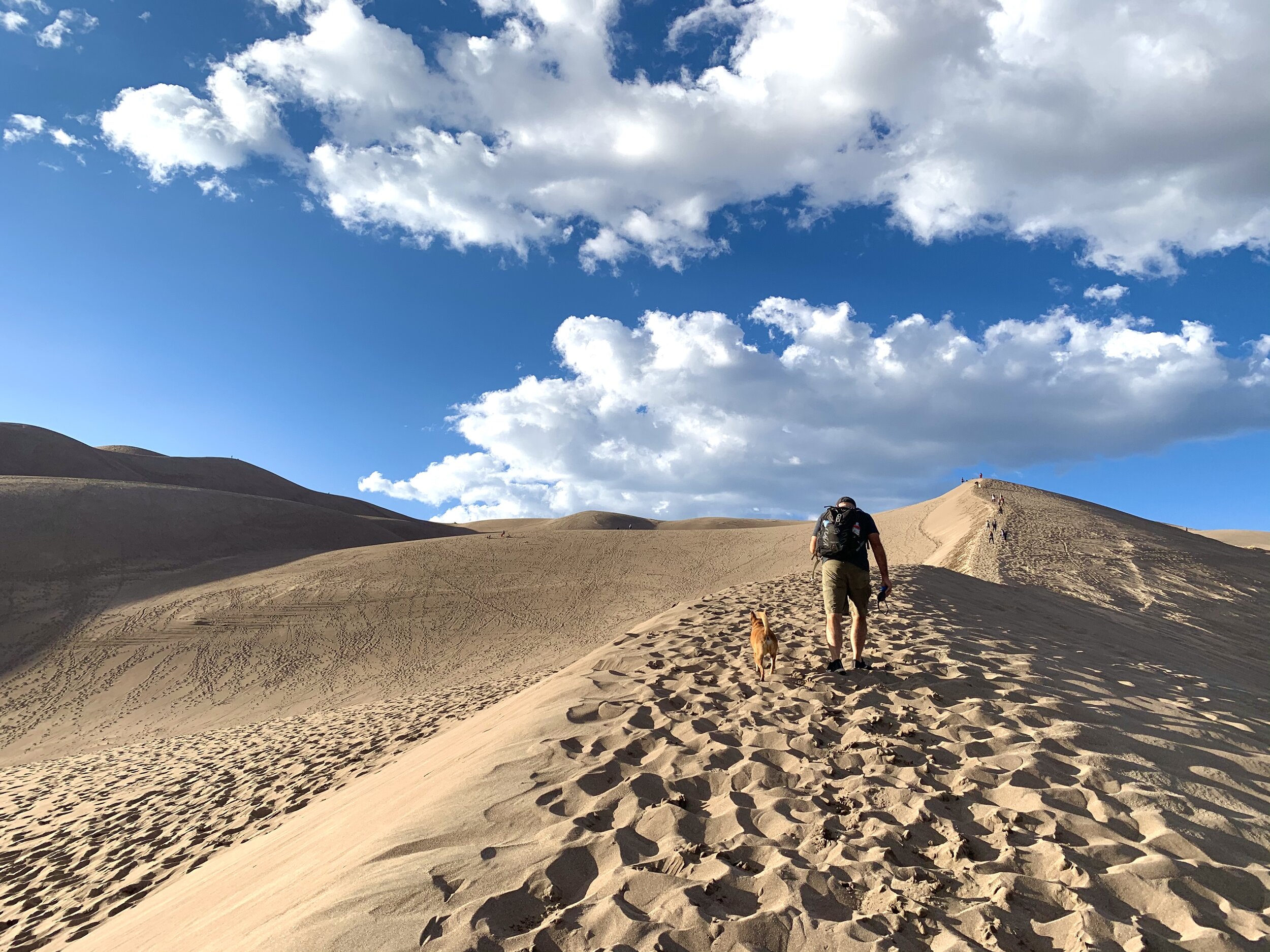
Craig and Clay hike one of the top-ten tallest sand dunes in the world. If you zoom this photo, you’ll see other people on these enormous dunes.
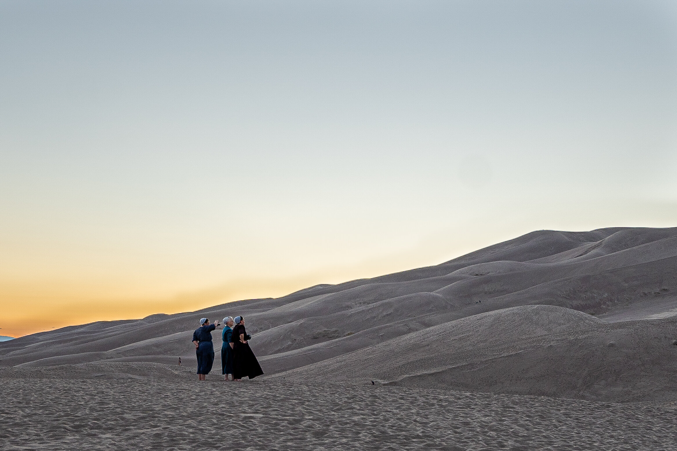
Craig spotted these Mennonite women enjoying the dunes and took a photo opportunity for what has become one of my most favorite pictures.
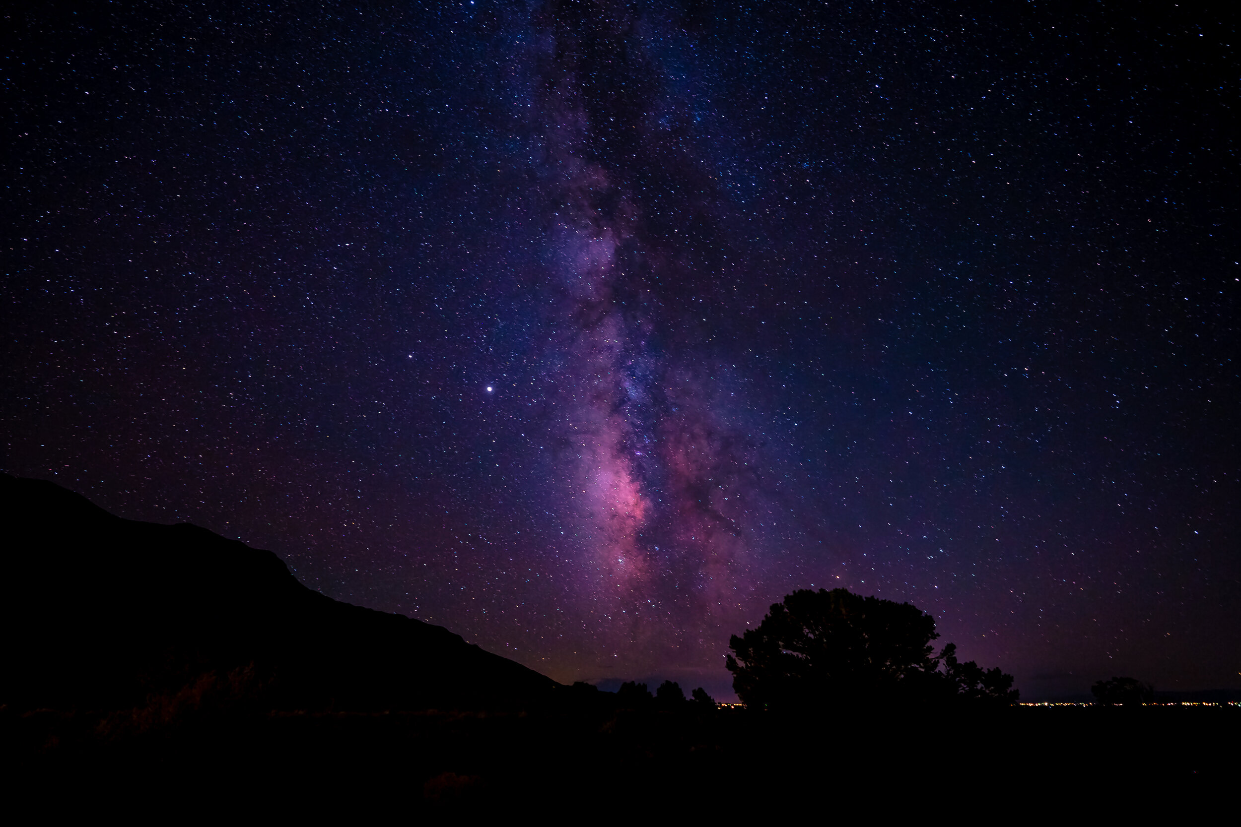
Great Sand Dunes NP is a certified International Dark Sky Park. This means that the park’s rare combination of dry air, little light pollution, and high elevation makes it perfect for viewing galaxies. Craig took advantage of the optimal photographic conditions and captured this image of the Milky Way one night while we were there.
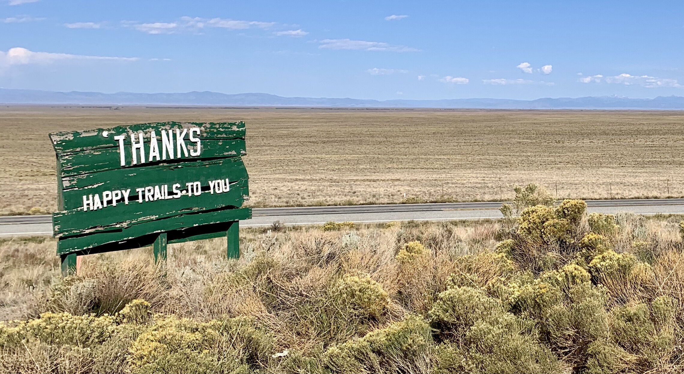
This sign outside our campground serves as a small indication of how remote and rugged the Great Sand Dunes National Park area is.
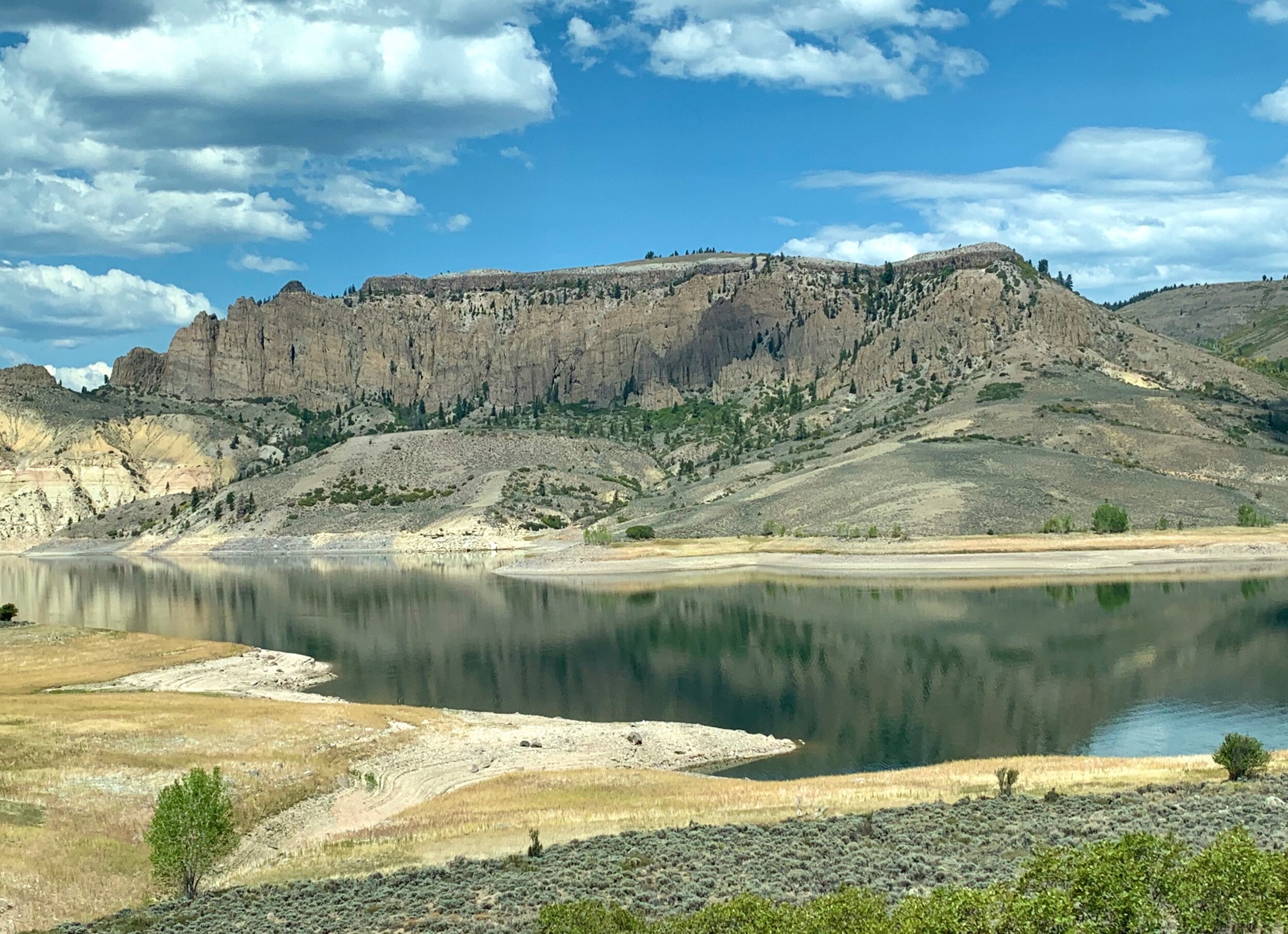
En route to the city of Montrose, we passed Curecanti National Recreation Area, a beautiful place preserved by the National Park Service for salmon and trout fishing, hiking, boating, camping, and bird watching.
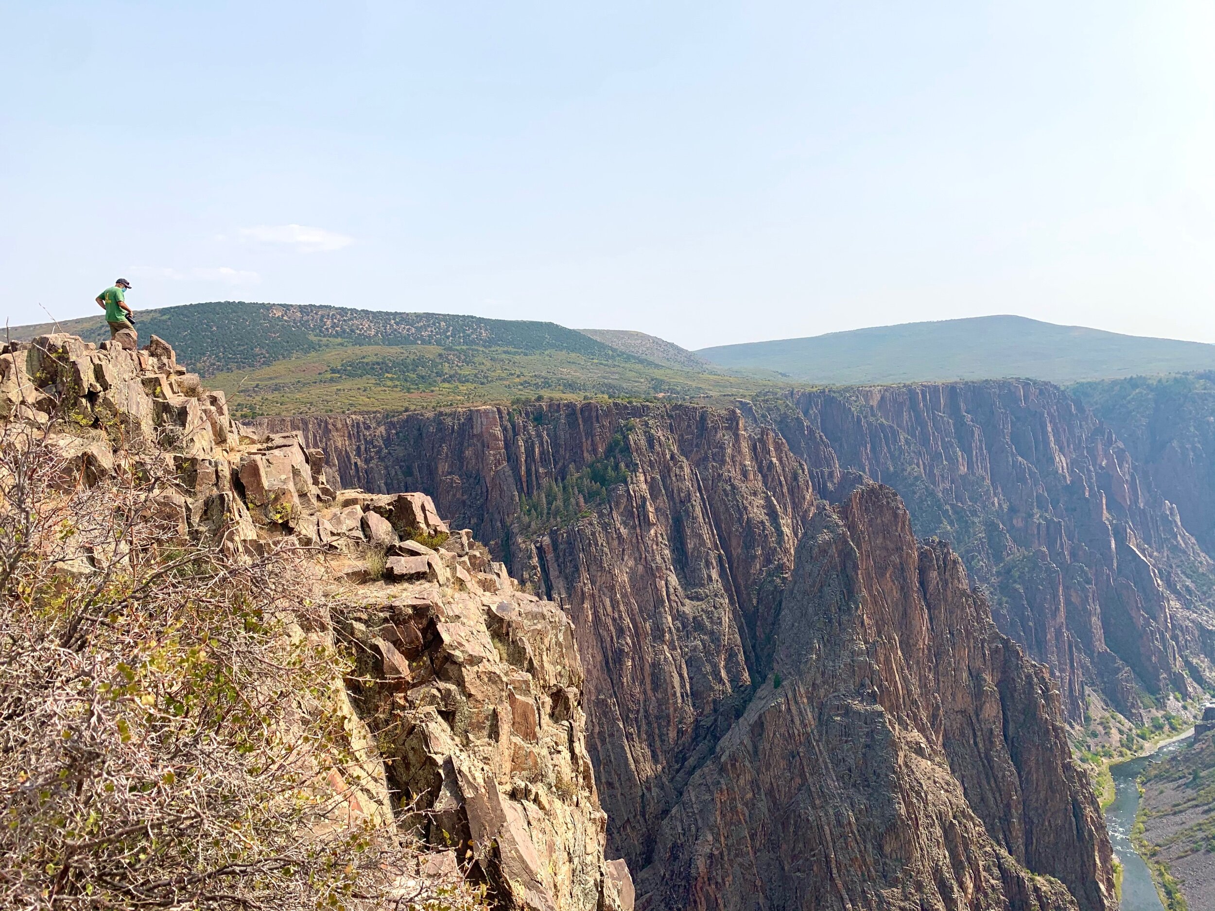
Black Canyon of the Gunnison National Park in western Colorado boasts some of the steepest cliffs, oldest rock, and most jagged spires in North America. The Gunnison River, along with the forces of weathering, has been sculpting this wilderness for about 2 million years…or so they say. 😊
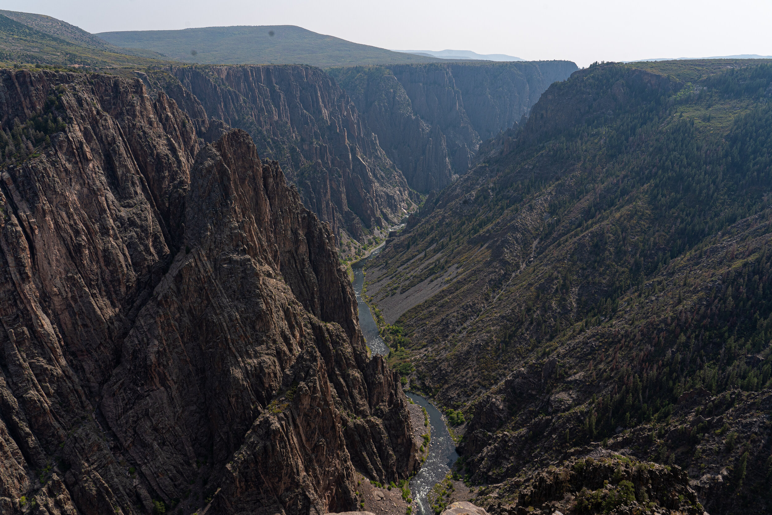
The Black Canyon is so named because its steepness makes it difficult for sunlight to penetrate into its depths. As a result, the canyon is often shadowed, causing the rocky walls to appear black. The right side of the canyon is more worn away than the left side, due to the amount of sunlight it gets, and weather patterns that expose it to more wind.
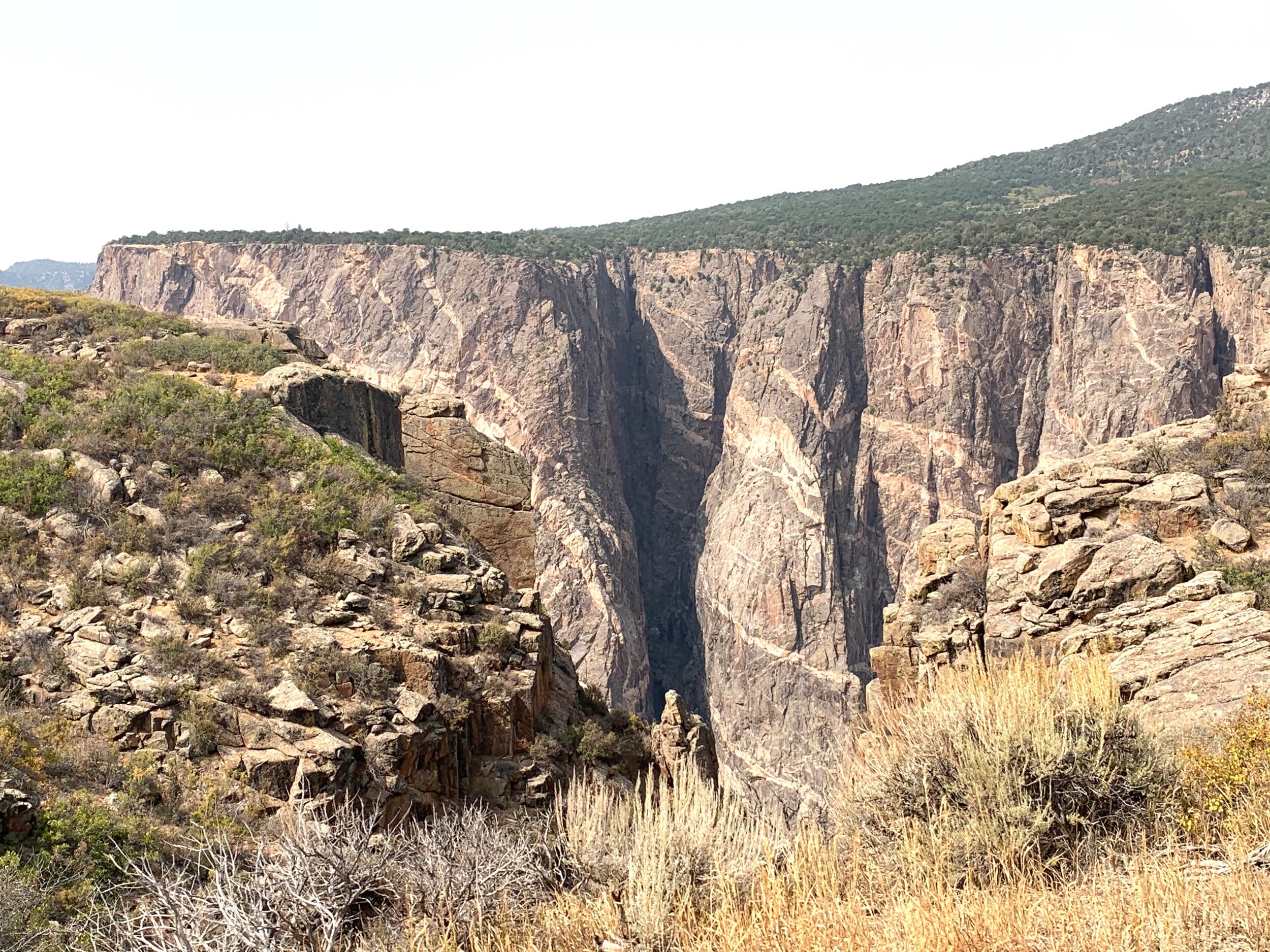
The canyons of the Gunnison River drops 240 feet per mile at its steepest point at Chasm View—some of the steepest mountain descents in North America.
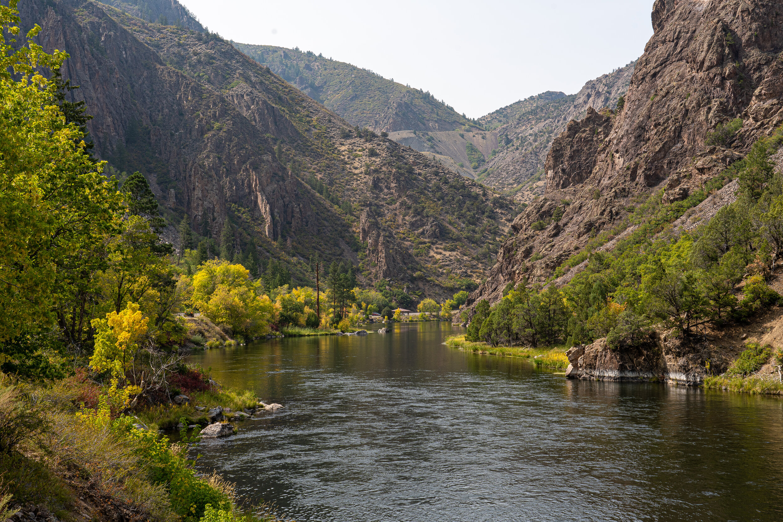
After spending most of the day at the top of Black Canyon, we took a lovely drive to the base of the canyon to see the Gunnison River up close.
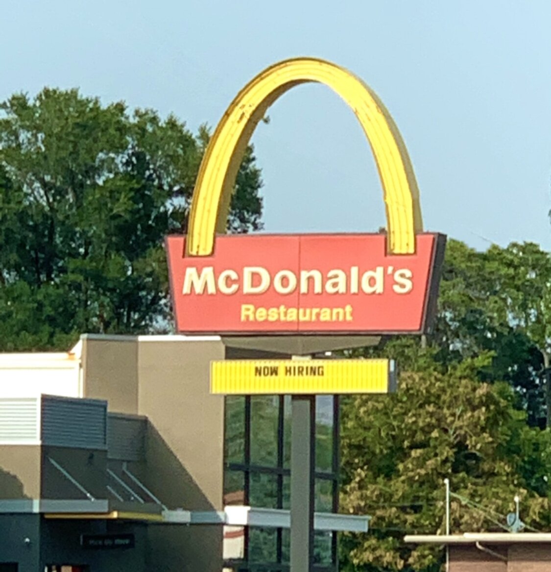
The final wonder of our Colorado excursion was this one-arched McDonalds sign in Montrose. McDonald’s opened its first restaurant in San Bernardino, California in 1940, and quickly became a fast-food chain that has expanded into 119 countries and over 38,000 locations today. This single-arch design is one of the 12 remaining original golden arches in America. We saw it. We wanted you to see it, too. 🍟🍔
After Colorado, we enjoyed some great outdoor time in Utah and Arizona before heading to Las Vegas, Nevada, to meet our son and daughter-in-law, Chris and Ambrey. 😍 We cannot wait to share those incredible photos in our next update! 📷 Until then, check out the video below for more of Colorado. 😃
Much love to you all! Craig and Glenda 🧡


